Property Record
10200 Fm 242 Rr, Conroe, TX 77385
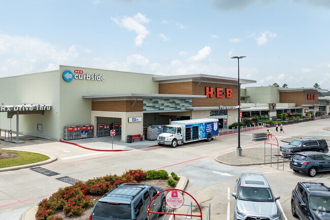

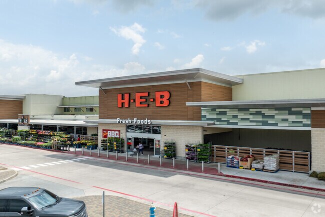
Property Detail
10200 Fm 242 Rr
5727-91-00100
S572791 - HARPERS PRESERVE MARKETPLACE, RES A, ACRES 12.053
Commercialnec
MONTGOMERY
B and X Area of moderate flood hazard, usually the area between the limits of the 100-year and 500-year floods.
Texas
2025
12.05 AC
2025
Montgomery County
691802
Houston
100,923 SF
Houston-Pasadena-The Woodlands, TX
NEARBY LISTINGS FOR SALE OR LEASE
DEMOGRAPHICS near 10200 Fm 242 Rr
1 mile
3 mile
5 mile
2025 Total Population
12,154
34,429
107,158
2030 Population
14,276
40,405
125,288
Pop Growth 2025-2030
+ 17.46%
+ 17.36%
+ 16.92%
Average Age
34
39
39
2025 Total Households
3,952
12,771
40,696
HH Growth 2025-2030
+ 18.17%
+ 18.02%
+ 17.57%
Median Household Inc
$107,040
$99,240
$107,742
Avg Household Size
3.00
2.70
2.60
2025 Avg HH Vehicles
2.00
2.00
2.00
Median Home Value
$328,881
$346,921
$378,863
Median Year Built
2010
2009
2007
Nearby Places
Map Layers
Map Styles
 Street
 Aerial
Layers
 Traffic
 Biking
Places
Listings with unknown addresses are not visible on the map
- Restaurants
- Banks
- Shops
- Fitness
- Groceries
PUBLIC TRANSPORTATION
AIRPORT
George Bush Intcntl/Houston
Drive
Walk
Distance
George Bush Intcntl/Houston
33 min
25.8 mi
Freight Ports
Port of Houston
Drive
Walk
Distance
Port of Houston
56 min
41.6 mi
Nearby Properties
Address
Land Use
TOTAL SIZE
Lot Size
Zoning
Address
Land Use
TOTAL SIZE
Lot Size
Zoning
1,416,950 SF
21.80 AC
Address
Land Use
TOTAL SIZE
Lot Size
Zoning
743,246 SF
40.65 AC
Address
Land Use
TOTAL SIZE
Lot Size
Zoning
465,986 SF
21.55 AC
Address
Land Use
TOTAL SIZE
Lot Size
Zoning
813,318 SF
20.95 AC
Address
Land Use
TOTAL SIZE
Lot Size
Zoning
370,039 SF
40.66 AC
Address
Land Use
TOTAL SIZE
Lot Size
Zoning
109,842 SF
25.58 AC
Address
Land Use
TOTAL SIZE
Lot Size
Zoning
579,596 SF
1.32 AC
Address
Land Use
TOTAL SIZE
Lot Size
Zoning
880,985 SF
99.32 AC
6
Address
Land Use
TOTAL SIZE
Lot Size
Zoning
344,233 SF
15.24 AC
Address
Land Use
TOTAL SIZE
Lot Size
Zoning
477,509 SF
41.53 AC
Address
Land Use
TOTAL SIZE
Lot Size
Zoning
291,173 SF
17.77 AC
6
Address
Land Use
TOTAL SIZE
Lot Size
Zoning
221,485 SF
12.36 AC
Address
Land Use
TOTAL SIZE
Lot Size
Zoning
221,955 SF
7.71 AC
Address
Land Use
TOTAL SIZE
Lot Size
Zoning
261,490 SF
125.16 AC
6
Address
Land Use
TOTAL SIZE
Lot Size
Zoning
217,654 SF
9.81 AC
Address
Land Use
TOTAL SIZE
Lot Size
Zoning
158,093 SF
13.88 AC
Address
Land Use
TOTAL SIZE
Lot Size
Zoning
433,143 SF
42.01 AC
6
Address
Land Use
TOTAL SIZE
Lot Size
Zoning
124,616 SF
0.81 AC
Address
Land Use
TOTAL SIZE
Lot Size
Zoning
181,860 SF
22.85 AC
6
Address
Land Use
TOTAL SIZE
Lot Size
Zoning
311,767 SF
32 AC
Address
Land Use
TOTAL SIZE
Lot Size
Zoning
371,718 SF
3.43 AC
Address
Land Use
TOTAL SIZE
Lot Size
Zoning
54,470 SF
9.02 AC
Address
Land Use
TOTAL SIZE
Lot Size
Zoning
56,150 SF
8.92 AC
6
Address
Land Use
TOTAL SIZE
Lot Size
Zoning
350,349 SF
15.85 AC
6
Address
Land Use
TOTAL SIZE
Lot Size
Zoning
99,700 SF
1.30 AC
Address
Land Use
TOTAL SIZE
Lot Size
Zoning
111,588 SF
3.41 AC
Address
Land Use
TOTAL SIZE
Lot Size
Zoning
314,272 SF
0.50 AC
Address
Land Use
TOTAL SIZE
Lot Size
Zoning
150,396 SF
17.39 AC
Address
Land Use
TOTAL SIZE
Lot Size
Zoning
109,658 SF
3.43 AC
Address
Land Use
TOTAL SIZE
Lot Size
Zoning
316,829 SF
25.90 AC
6
The World's #1 Commercial Real Estate Marketplace
Connect with us
© 2026 CoStar Group
The information above has been obtained from sources believed reliable. While we do not doubt its accuracy we have not verified it and make no guarantee, warranty or representation about it. It is your responsibility to independently confirm its accuracy and completeness. Any projections, opinions, assumptions, or estimates used are for example only and do not represent the current or future performance of the property. The value of this transaction to you depends on tax and other factors which should be evaluated by your tax, financial, and legal advisors. You and your advisors should conduct a careful, independent investigation of the property to determine to your satisfaction the suitability of the property for your needs.