Property Record
10200 Okeechobee Blvd, West Palm Beach, FL 33411

NEARBY LISTINGS FOR SALE OR LEASE
Property Detail
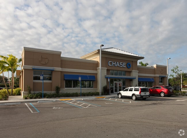
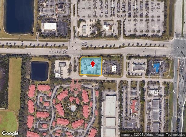
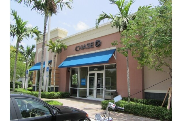
10200 Okeechobee Blvd
West Palm Beach-Boca Raton-Delray Beach, FL
Fox Properties Pl Par
72-41-43-24-01-000-0070
FOX PROPERTIES PL PAR 7
Financialbuilding
Palm Beach
X
Florida
12099C0554F
7
2024
1.16 AC
2025
Royal Palm Bch/Wellington
007813
South Florida
4,156 SF
DEMOGRAPHICS near 10200 Okeechobee Blvd
1 Mile
3 Mile
5 Mile
2024 Total Population
7,114
56,929
138,778
2029 Population
7,247
58,074
142,216
Pop Growth 2024-2029
+ 1.87%
+ 2.01%
+ 2.48%
Average Age
44
41
42
2024 Total Households
2,589
20,633
51,175
HH Growth 2024-2029
+ 1.16%
+ 1.34%
+ 2.14%
Median Household Inc
$79,855
$80,048
$75,425
Avg Household Size
2.60
2.60
2.60
2024 Avg HH Vehicles
2.00
2.00
2.00
Median Home Value
$346,721
$342,687
$348,109
Median Year Built
2000
1992
1990
Nearby Places
Map Layers
Map Styles
 Street
 Aerial
- Restaurants
- Banks
- Shops
- Fitness
- Groceries
PUBLIC TRANSPORTATION
COMMUTER RAIL
West Palm Beach (Tri-County Commuter - South Florida Regional Transportation Authority (Tri-Rail))
DRIVE
WALK
Distance
West Palm Beach (Tri-County Commuter - South Florida Regional Transportation Authority (Tri-Rail))
17 min
9.4 mi
AIRPORT
Palm Beach International
DRIVE
WALK
Distance
Palm Beach International
16 min
9.2 mi
Freight Ports
Port of Palm Beach
DRIVE
WALK
Distance
Port of Palm Beach
25 min
13.4 mi
Nearby Properties
Address
Land Use
TOTAL SIZE
Lot Size
Zoning
Address
Land Use
TOTAL SIZE
Lot Size
Zoning
590,128 SF
19.55 AC
MUPD
Address
Land Use
TOTAL SIZE
Lot Size
Zoning
398,622 SF
21.62 AC
RM-18
Address
Land Use
TOTAL SIZE
Lot Size
Zoning
669,818 SF
42.79 AC
IL
Address
Land Use
TOTAL SIZE
Lot Size
Zoning
428,659 SF
26.16 AC
MUPD
Address
Land Use
TOTAL SIZE
Lot Size
Zoning
349,316 SF
49.95 AC
CG
Address
Land Use
TOTAL SIZE
Lot Size
Zoning
314,116 SF
10.25 AC
MF20
Address
Land Use
TOTAL SIZE
Lot Size
Zoning
318,687 SF
29.98 AC
RM-9
Address
Land Use
TOTAL SIZE
Lot Size
Zoning
294,321 SF
109.37 AC
PO
Address
Land Use
TOTAL SIZE
Lot Size
Zoning
159,302 SF
29.36 AC
Address
Land Use
TOTAL SIZE
Lot Size
Zoning
302,692 SF
55 AC
PO
Address
Land Use
TOTAL SIZE
Lot Size
Zoning
243,076 SF
15.47 AC
RM-18
Address
Land Use
TOTAL SIZE
Lot Size
Zoning
261,118 SF
58.77 AC
IPF
Address
Land Use
TOTAL SIZE
Lot Size
Zoning
196,683 SF
8.97 AC
RPD
Address
Land Use
TOTAL SIZE
Lot Size
Zoning
225,393 SF
22.54 AC
MUPD
Address
Land Use
TOTAL SIZE
Lot Size
Zoning
159,433 SF
38.65 AC
PO
Address
Land Use
TOTAL SIZE
Lot Size
Zoning
116,601 SF
13.94 AC
CG
Address
Land Use
TOTAL SIZE
Lot Size
Zoning
68,094 SF
39.77 AC
MUPD
Address
Land Use
TOTAL SIZE
Lot Size
Zoning
149,934 SF
3.47 AC
CG
Address
Land Use
TOTAL SIZE
Lot Size
Zoning
229,274 SF
24.34 AC
CG
Address
Land Use
TOTAL SIZE
Lot Size
Zoning
129,117 SF
12.62 AC
CG
Address
Land Use
TOTAL SIZE
Lot Size
Zoning
114,658 SF
14.99 AC
CG
Address
Land Use
TOTAL SIZE
Lot Size
Zoning
91,993 SF
10.53 AC
CG
Address
Land Use
TOTAL SIZE
Lot Size
Zoning
145,905 SF
12 AC
CS
Address
Land Use
TOTAL SIZE
Lot Size
Zoning
127,074 SF
7.90 AC
IL
Address
Land Use
TOTAL SIZE
Lot Size
Zoning
152,387 SF
8.46 AC
IL
Address
Land Use
TOTAL SIZE
Lot Size
Zoning
85,077 SF
4.10 AC
MXD
Address
Land Use
TOTAL SIZE
Lot Size
Zoning
180,760 SF
30 AC
PO
Address
Land Use
TOTAL SIZE
Lot Size
Zoning
78,166 SF
9.73 AC
IL
Address
Land Use
TOTAL SIZE
Lot Size
Zoning
59,165 SF
29.25 AC
PUD
Address
Land Use
TOTAL SIZE
Lot Size
Zoning
124,420 SF
6.47 AC
IL
The World's #1 Commercial Real Estate Marketplace
Connect with us
© 2025 CoStar Group
The information above has been obtained from sources believed reliable. While we do not doubt its accuracy we have not verified it and make no guarantee, warranty or representation about it. It is your responsibility to independently confirm its accuracy and completeness. Any projections, opinions, assumptions, or estimates used are for example only and do not represent the current or future performance of the property. The value of this transaction to you depends on tax and other factors which should be evaluated by your tax, financial, and legal advisors. You and your advisors should conduct a careful, independent investigation of the property to determine to your satisfaction the suitability of the property for your needs.