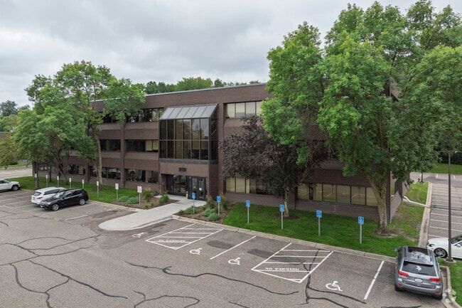
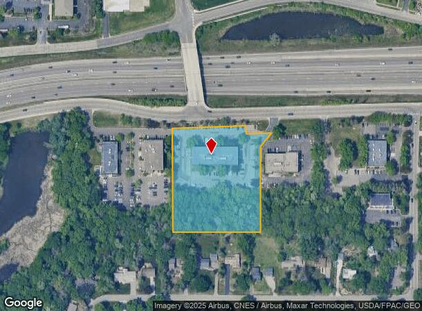
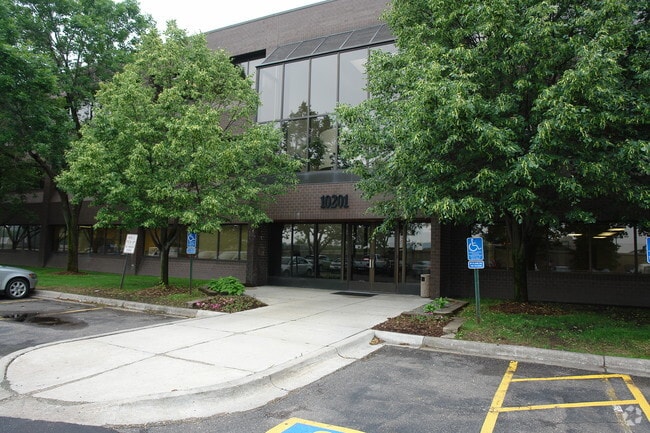
Property Record
10201 Wayzata Blvd, Hopkins, MN 55305

NEARBY LISTINGS FOR SALE OR LEASE
Property Detail
10201 Wayzata Blvd
Minneapolis-St. Paul-Bloomington, MN-WI
Woodbridge Business Ctr 2Nd Addn
01-117-22-13-0016
LOT 001 BLOCK 001 A WOODBRIDGE BUSINESS CTR 2ND ADDN EX PARCEL 40 AS SHOWN ON MN/DOT R/W PLAT NO 27-22 IRREGULAR
Commercialnec
Hennepin
X
Minnesota
27053C0331F
1
2024
3.43 AC
2024
I-394 Corridor
026405
Minneapolis/St Paul
13,296 SF
DEMOGRAPHICS near 10201 Wayzata Blvd
1 Mile
3 Mile
5 Mile
2024 Total Population
7,537
76,053
216,282
2029 Population
7,493
75,054
212,668
Pop Growth 2024-2029
(0.58%)
(1.31%)
(1.67%)
Average Age
42
41
41
2024 Total Households
3,731
34,263
96,973
HH Growth 2024-2029
(0.59%)
(1.43%)
(1.72%)
Median Household Inc
$93,749
$91,359
$92,062
Avg Household Size
2.00
2.10
2.20
2024 Avg HH Vehicles
2.00
2.00
2.00
Median Home Value
$356,509
$356,124
$364,125
Median Year Built
1980
1973
1972
Nearby Places
Map Layers
Map Styles
 Street
 Aerial
- Restaurants
- Banks
- Shops
- Fitness
- Groceries
PUBLIC TRANSPORTATION
COMMUTER RAIL
Target Field Station (Northstar Corridor - Northstar Commuter Rail)
DRIVE
WALK
Distance
Target Field Station (Northstar Corridor - Northstar Commuter Rail)
13 min
7.4 mi
AIRPORT
Minneapolis-St Paul International/Wold-Chamberlain
DRIVE
WALK
Distance
Minneapolis-St Paul International/Wold-Chamberlain
29 min
18.6 mi
SALE & LEASE HISTORY
LISTING DATE
SALE/LEASE

Sep 28, 2016
For Lease
Nov 03, 2017
For Lease
Nearby Properties
Address
Land Use
TOTAL SIZE
Lot Size
Zoning
Address
Land Use
TOTAL SIZE
Lot Size
Zoning
324,564 SF
32.54 AC
PID
Address
Land Use
TOTAL SIZE
Lot Size
Zoning
18.27 AC
Address
Land Use
TOTAL SIZE
Lot Size
Zoning
5.84 AC
Address
Land Use
TOTAL SIZE
Lot Size
Zoning
Address
Land Use
TOTAL SIZE
Lot Size
Zoning
2,207,532 SF
11.15 AC
Address
Land Use
TOTAL SIZE
Lot Size
Zoning
20,710 SF
7.69 AC
PID
Address
Land Use
TOTAL SIZE
Lot Size
Zoning
Address
Land Use
TOTAL SIZE
Lot Size
Zoning
20,710 SF
7.69 AC
PID
Address
Land Use
TOTAL SIZE
Lot Size
Zoning
6.47 AC
Address
Land Use
TOTAL SIZE
Lot Size
Zoning
19.75 AC
Address
Land Use
TOTAL SIZE
Lot Size
Zoning
224,581 SF
13.72 AC
PUD
Address
Land Use
TOTAL SIZE
Lot Size
Zoning
19.46 AC
PUD
Address
Land Use
TOTAL SIZE
Lot Size
Zoning
202,718 SF
14.37 AC
PID
Address
Land Use
TOTAL SIZE
Lot Size
Zoning
Address
Land Use
TOTAL SIZE
Lot Size
Zoning
196,498 SF
13.13 AC
PID
Address
Land Use
TOTAL SIZE
Lot Size
Zoning
11.93 AC
PID
Address
Land Use
TOTAL SIZE
Lot Size
Zoning
2.58 AC
Address
Land Use
TOTAL SIZE
Lot Size
Zoning
Address
Land Use
TOTAL SIZE
Lot Size
Zoning
2.38 AC
Address
Land Use
TOTAL SIZE
Lot Size
Zoning
Address
Land Use
TOTAL SIZE
Lot Size
Zoning
40.17 AC
Address
Land Use
TOTAL SIZE
Lot Size
Zoning
244,941 SF
5.24 AC
Address
Land Use
TOTAL SIZE
Lot Size
Zoning
Address
Land Use
TOTAL SIZE
Lot Size
Zoning
2.04 AC
Address
Land Use
TOTAL SIZE
Lot Size
Zoning
13.80 AC
Address
Land Use
TOTAL SIZE
Lot Size
Zoning
4.34 AC
Address
Land Use
TOTAL SIZE
Lot Size
Zoning
94,155 SF
2.06 AC
PUD
Address
Land Use
TOTAL SIZE
Lot Size
Zoning
10.57 AC
PID
Address
Land Use
TOTAL SIZE
Lot Size
Zoning
12.06 AC
PID
Address
Land Use
TOTAL SIZE
Lot Size
Zoning
2.69 AC
The World's #1 Commercial Real Estate Marketplace
Connect with us
© 2025 CoStar Group
The information above has been obtained from sources believed reliable. While we do not doubt its accuracy we have not verified it and make no guarantee, warranty or representation about it. It is your responsibility to independently confirm its accuracy and completeness. Any projections, opinions, assumptions, or estimates used are for example only and do not represent the current or future performance of the property. The value of this transaction to you depends on tax and other factors which should be evaluated by your tax, financial, and legal advisors. You and your advisors should conduct a careful, independent investigation of the property to determine to your satisfaction the suitability of the property for your needs.