Property Record
10214 Fm 361 Rd, Needville, TX 77461
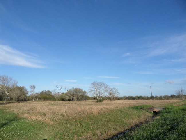
Property Detail
10214 Fm 361 Rd
0411-00-000-0060-906
0411 SARAH HILL MRS, TRACT 1, ACRES 1.954
Multifamilydwelling
FORT BEND
O
Texas
B and X Area of moderate flood hazard, usually the area between the limits of the 100-year and 500-year floods.
1.95 AC
2024
Southwest Outlier
2025
Houston
675600
Houston-Pasadena-The Woodlands, TX
8,717 SF
NEARBY LISTINGS FOR SALE OR LEASE
DEMOGRAPHICS near 10214 Fm 361 Rd
1 mile
3 mile
5 mile
2025 Total Population
450
4,787
17,368
2030 Population
516
5,508
20,055
Pop Growth 2025-2030
+ 14.67%
+ 15.06%
+ 15.47%
Average Age
39
39
38
2025 Total Households
150
1,580
5,751
HH Growth 2025-2030
+ 15.33%
+ 15.51%
+ 15.77%
Median Household Inc
$90,937
$84,628
$78,086
Avg Household Size
3.00
3.00
3.00
2025 Avg HH Vehicles
3.00
2.00
2.00
Median Home Value
$544,118
$453,906
$339,098
Median Year Built
2000
2003
2005
Nearby Places
Map Layers
Map Styles
 Street
 Aerial
Transit
 Traffic
 Biking
Places
Listings with unknown addresses are not visible on the map
- Restaurants
- Banks
- Shops
- Fitness
- Groceries
SALE & LEASE HISTORY
LISTING DATE
SALE/LEASE

Sep 24, 2016
For Sale
Nearby Properties
Address
Land Use
TOTAL SIZE
Lot Size
Zoning
Address
Land Use
TOTAL SIZE
Lot Size
Zoning
1,854 SF
548.96 AC
MOS
Address
Land Use
TOTAL SIZE
Lot Size
Zoning
111.59 AC
QOY
Address
Land Use
TOTAL SIZE
Lot Size
Zoning
Address
Land Use
TOTAL SIZE
Lot Size
Zoning
864 SF
80.11 AC
QYSN
Address
Land Use
TOTAL SIZE
Lot Size
Zoning
1,092 SF
216.32 AC
MOY
Address
Land Use
TOTAL SIZE
Lot Size
Zoning
93.42 AC
Address
Land Use
TOTAL SIZE
Lot Size
Zoning
624 SF
156.97 AC
YOT
Address
Land Use
TOTAL SIZE
Lot Size
Zoning
17.59 AC
S
Address
Land Use
TOTAL SIZE
Lot Size
Zoning
616 SF
95.14 AC
YM
Address
Land Use
TOTAL SIZE
Lot Size
Zoning
11,759 SF
1.56 AC
Address
Land Use
TOTAL SIZE
Lot Size
Zoning
4.71 AC
Address
Land Use
TOTAL SIZE
Lot Size
Zoning
8.27 AC
Address
Land Use
TOTAL SIZE
Lot Size
Zoning
68.62 AC
STY
Address
Land Use
TOTAL SIZE
Lot Size
Zoning
77.07 AC
OTS
Address
Land Use
TOTAL SIZE
Lot Size
Zoning
Address
Land Use
TOTAL SIZE
Lot Size
Zoning
Address
Land Use
TOTAL SIZE
Lot Size
Zoning
4,552 SF
9.34 AC
Address
Land Use
TOTAL SIZE
Lot Size
Zoning
40 AC
Address
Land Use
TOTAL SIZE
Lot Size
Zoning
7,495 SF
8 AC
Address
Land Use
TOTAL SIZE
Lot Size
Zoning
4,048 SF
1.06 AC
Address
Land Use
TOTAL SIZE
Lot Size
Zoning
4,359 SF
1.03 AC
Address
Land Use
TOTAL SIZE
Lot Size
Zoning
4,475 SF
6.90 AC
Address
Land Use
TOTAL SIZE
Lot Size
Zoning
896 SF
43.08 AC
Address
Land Use
TOTAL SIZE
Lot Size
Zoning
Address
Land Use
TOTAL SIZE
Lot Size
Zoning
1.36 AC
Address
Land Use
TOTAL SIZE
Lot Size
Zoning
33.46 AC
SD
Address
Land Use
TOTAL SIZE
Lot Size
Zoning
4,073 SF
10.24 AC
Address
Land Use
TOTAL SIZE
Lot Size
Zoning
4.77 AC
Q
Address
Land Use
TOTAL SIZE
Lot Size
Zoning
3,840 SF
7 AC
The World's #1 Commercial Real Estate Marketplace
Connect with us
© 2026 CoStar Group
The information above has been obtained from sources believed reliable. While we do not doubt its accuracy we have not verified it and make no guarantee, warranty or representation about it. It is your responsibility to independently confirm its accuracy and completeness. Any projections, opinions, assumptions, or estimates used are for example only and do not represent the current or future performance of the property. The value of this transaction to you depends on tax and other factors which should be evaluated by your tax, financial, and legal advisors. You and your advisors should conduct a careful, independent investigation of the property to determine to your satisfaction the suitability of the property for your needs.