Property Record
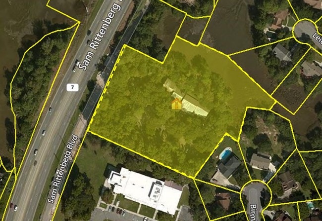
1025 Sam Rittenberg Blvd, Charleston, SC 29407


NEARBY LISTINGS FOR SALE OR LEASE
Property Detail
1025 Sam Rittenberg Blvd
415-10-00-073
Orange Grove
Commercialnec
SUBDIVISION NAME -ORANGE GROVE DESCRIPTION -PT TRACT C SITE NAME -11-BOY - GIRL SCOUTS
AE
Charleston
45019C0503K
South Carolina
2025
3.53 AC
2024
West Ashley
002606
Charleston/N Charleston
900 SF
Charleston-North Charleston, SC
DEMOGRAPHICS near 1025 Sam Rittenberg Blvd
1 Mile
3 Mile
5 Mile
2024 Total Population
2,525
56,730
150,386
2029 Population
2,661
60,870
162,446
Pop Growth 2024-2029
+ 5.39%
+ 7.30%
+ 8.02%
Average Age
45
39
39
2024 Total Households
1,053
24,252
66,071
HH Growth 2024-2029
+ 5.22%
+ 7.15%
+ 7.94%
Median Household Inc
$98,863
$51,930
$61,378
Avg Household Size
2.30
2.10
2.10
2024 Avg HH Vehicles
2.00
1.00
2.00
Median Home Value
$431,304
$309,344
$364,105
Median Year Built
1968
1970
1975
Nearby Places
Map Layers
Map Styles
 Street
 Aerial
- Restaurants
- Banks
- Shops
- Fitness
- Groceries
PUBLIC TRANSPORTATION
COMMUTER RAIL
DRIVE
WALK
Distance
8 min
4.3 mi
AIRPORT
Charleston AFB/International
DRIVE
WALK
Distance
Charleston AFB/International
19 min
10.3 mi
Freight Ports
Veterans Terminal
DRIVE
WALK
Distance
Veterans Terminal
12 min
5.2 mi
SALE & LEASE HISTORY
LISTING DATE
SALE/LEASE

Sep 24, 2016
For Sale
Nearby Properties
Address
Land Use
TOTAL SIZE
Lot Size
Zoning
Address
Land Use
TOTAL SIZE
Lot Size
Zoning
1,717 SF
40.95 AC
Address
Land Use
TOTAL SIZE
Lot Size
Zoning
79,990 SF
9.22 AC
Address
Land Use
TOTAL SIZE
Lot Size
Zoning
27,900 SF
102.67 AC
Address
Land Use
TOTAL SIZE
Lot Size
Zoning
9,778 SF
11.90 AC
Address
Land Use
TOTAL SIZE
Lot Size
Zoning
21,900 SF
5.96 AC
Address
Land Use
TOTAL SIZE
Lot Size
Zoning
Address
Land Use
TOTAL SIZE
Lot Size
Zoning
22,620 SF
12.23 AC
Address
Land Use
TOTAL SIZE
Lot Size
Zoning
8,472 SF
9.84 AC
Address
Land Use
TOTAL SIZE
Lot Size
Zoning
8,472 SF
9.83 AC
Address
Land Use
TOTAL SIZE
Lot Size
Zoning
11,631 SF
8 AC
Address
Land Use
TOTAL SIZE
Lot Size
Zoning
78,810 SF
3.33 AC
Address
Land Use
TOTAL SIZE
Lot Size
Zoning
36,587 SF
17.75 AC
Address
Land Use
TOTAL SIZE
Lot Size
Zoning
17,271 SF
3.65 AC
Address
Land Use
TOTAL SIZE
Lot Size
Zoning
112,860 SF
12 AC
Address
Land Use
TOTAL SIZE
Lot Size
Zoning
6,036 SF
8.79 AC
Address
Land Use
TOTAL SIZE
Lot Size
Zoning
77,990 SF
8.30 AC
Address
Land Use
TOTAL SIZE
Lot Size
Zoning
23,712 SF
19.34 AC
Address
Land Use
TOTAL SIZE
Lot Size
Zoning
Address
Land Use
TOTAL SIZE
Lot Size
Zoning
127,156 SF
12.49 AC
Address
Land Use
TOTAL SIZE
Lot Size
Zoning
19,992 SF
11.98 AC
Address
Land Use
TOTAL SIZE
Lot Size
Zoning
5.54 AC
Address
Land Use
TOTAL SIZE
Lot Size
Zoning
42,500 SF
3.62 AC
Address
Land Use
TOTAL SIZE
Lot Size
Zoning
30,196 SF
1.58 AC
Address
Land Use
TOTAL SIZE
Lot Size
Zoning
3,192 SF
34.47 AC
Address
Land Use
TOTAL SIZE
Lot Size
Zoning
1,575 SF
28.28 AC
Address
Land Use
TOTAL SIZE
Lot Size
Zoning
3,275 SF
4.18 AC
Address
Land Use
TOTAL SIZE
Lot Size
Zoning
16,917 SF
2.40 AC
Address
Land Use
TOTAL SIZE
Lot Size
Zoning
50,356 SF
5.19 AC
Address
Land Use
TOTAL SIZE
Lot Size
Zoning
6,531 SF
3.11 AC
Address
Land Use
TOTAL SIZE
Lot Size
Zoning
3,520 SF
7.70 AC
The World's #1 Commercial Real Estate Marketplace
Connect with us
© 2025 CoStar Group
The information above has been obtained from sources believed reliable. While we do not doubt its accuracy we have not verified it and make no guarantee, warranty or representation about it. It is your responsibility to independently confirm its accuracy and completeness. Any projections, opinions, assumptions, or estimates used are for example only and do not represent the current or future performance of the property. The value of this transaction to you depends on tax and other factors which should be evaluated by your tax, financial, and legal advisors. You and your advisors should conduct a careful, independent investigation of the property to determine to your satisfaction the suitability of the property for your needs.