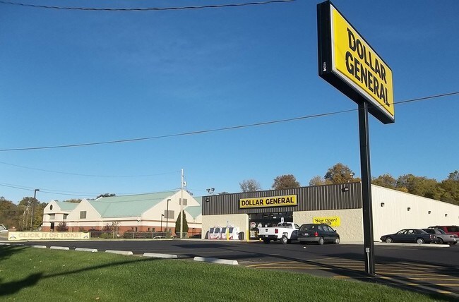
Property Record
1027 E Highway 22, Centralia, MO 65240

Property Detail
1027 E Highway 22
04-220-00-00-023-00-01
CENT LAND IN LIMITS PT SW COR TR 1 SUR 1191-900
Storebuilding
Boone
M1
Missouri
B and X Area of moderate flood hazard, usually the area between the limits of the 100-year and 500-year floods.
1.25 AC
2025
Missouri North Area
2025
Other Market Areas
002000
Columbia, MO
8,190 SF
NEARBY LISTINGS FOR SALE OR LEASE
-
-
View all Centralia listings for lease on LoopNet.com
DEMOGRAPHICS near 1027 E Highway 22
1 mile
3 mile
5 mile
2024 Total Population
2,902
5,509
6,798
2029 Population
3,031
5,748
7,064
Pop Growth 2024-2029
+ 4.45%
+ 4.34%
+ 3.91%
Average Age
40
39
39
2024 Total Households
1,164
2,156
2,615
HH Growth 2024-2029
+ 4.73%
+ 4.64%
+ 4.21%
Median Household Inc
$52,289
$60,386
$63,230
Avg Household Size
2.40
2.50
2.50
2024 Avg HH Vehicles
2.00
2.00
2.00
Median Home Value
$169,073
$169,132
$176,515
Median Year Built
1979
1977
1977
Nearby Places
Map Layers
Map Styles
 Street
 Aerial
Transit
 Traffic
 Biking
Places
Listings with unknown addresses are not visible on the map
- Restaurants
- Banks
- Shops
- Fitness
- Groceries
PUBLIC TRANSPORTATION
AIRPORT
Columbia Regional
Drive
Walk
Distance
Columbia Regional
48 min
33.7 mi
Freight Ports
Tulsa Port of Inola
Drive
Walk
Distance
Tulsa Port of Inola
409 min
356.4 mi
SALE & LEASE HISTORY
LISTING DATE
SALE/LEASE

Sep 24, 2016
For Sale
May 31, 2017
For Lease
Nearby Properties
Address
Land Use
TOTAL SIZE
Lot Size
Zoning
Address
Land Use
TOTAL SIZE
Lot Size
Zoning
153,390 SF
42.40 AC
M1
Address
Land Use
TOTAL SIZE
Lot Size
Zoning
25,630 SF
17.66 AC
Address
Land Use
TOTAL SIZE
Lot Size
Zoning
7,800 SF
5.60 AC
M1
Address
Land Use
TOTAL SIZE
Lot Size
Zoning
184,070 SF
8.20 AC
M1
Address
Land Use
TOTAL SIZE
Lot Size
Zoning
67.50 AC
R1
Address
Land Use
TOTAL SIZE
Lot Size
Zoning
32,374 SF
1.72 AC
B2
Address
Land Use
TOTAL SIZE
Lot Size
Zoning
22,650 SF
16.23 AC
A1
Address
Land Use
TOTAL SIZE
Lot Size
Zoning
7,560 SF
0.66 AC
B2
Address
Land Use
TOTAL SIZE
Lot Size
Zoning
24,200 SF
31.57 AC
Address
Land Use
TOTAL SIZE
Lot Size
Zoning
22,876 SF
1.64 AC
M1
Address
Land Use
TOTAL SIZE
Lot Size
Zoning
10,500 SF
3.06 AC
B2
Address
Land Use
TOTAL SIZE
Lot Size
Zoning
3,970 SF
0.75 AC
R3
Address
Land Use
TOTAL SIZE
Lot Size
Zoning
4,387 SF
1.23 AC
B2
Address
Land Use
TOTAL SIZE
Lot Size
Zoning
10,451 SF
1.27 AC
Address
Land Use
TOTAL SIZE
Lot Size
Zoning
960 SF
1.40 AC
M1
Address
Land Use
TOTAL SIZE
Lot Size
Zoning
21,980 SF
1.49 AC
M1
Address
Land Use
TOTAL SIZE
Lot Size
Zoning
6.60 AC
M1
Address
Land Use
TOTAL SIZE
Lot Size
Zoning
4,000 SF
0.84 AC
B2
Address
Land Use
TOTAL SIZE
Lot Size
Zoning
19,277 SF
3.28 AC
B2
Address
Land Use
TOTAL SIZE
Lot Size
Zoning
2,400 SF
0.26 AC
R1
Address
Land Use
TOTAL SIZE
Lot Size
Zoning
5,878 SF
1.03 AC
A2
Address
Land Use
TOTAL SIZE
Lot Size
Zoning
10,620 SF
1.28 AC
Address
Land Use
TOTAL SIZE
Lot Size
Zoning
4,500 SF
2.08 AC
M1
Address
Land Use
TOTAL SIZE
Lot Size
Zoning
6,832 SF
0.48 AC
B1
Address
Land Use
TOTAL SIZE
Lot Size
Zoning
9,504 SF
1.08 AC
M1
Address
Land Use
TOTAL SIZE
Lot Size
Zoning
0.55 AC
R3
Address
Land Use
TOTAL SIZE
Lot Size
Zoning
2,160 SF
1.10 AC
Address
Land Use
TOTAL SIZE
Lot Size
Zoning
1.70 AC
M1
Address
Land Use
TOTAL SIZE
Lot Size
Zoning
5,400 SF
4.23 AC
Address
Land Use
TOTAL SIZE
Lot Size
Zoning
11,237 SF
0.69 AC
B2
The World's #1 Commercial Real Estate Marketplace
Connect with us
© 2026 CoStar Group
The information above has been obtained from sources believed reliable. While we do not doubt its accuracy we have not verified it and make no guarantee, warranty or representation about it. It is your responsibility to independently confirm its accuracy and completeness. Any projections, opinions, assumptions, or estimates used are for example only and do not represent the current or future performance of the property. The value of this transaction to you depends on tax and other factors which should be evaluated by your tax, financial, and legal advisors. You and your advisors should conduct a careful, independent investigation of the property to determine to your satisfaction the suitability of the property for your needs.