Property Record
1029 N 460 W, Salem, UT 84653
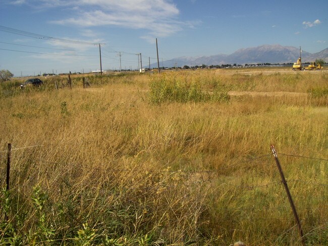

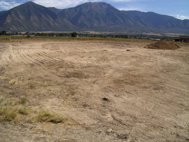

Property Detail
1029 N 460 W
Provo-Orem-Lehi, UT
COM N 1907.07 FT & W 1477.98 FT & N 4 DEG 36 15 E 160.18 FT FR E 1/4 COR. SEC. 2, T9S, R1E, SLB&M.; N 4 DEG 36 15 E 547.21 FT; S 89 DEG 54 38 W 1395.27 FT; S 2 DEG 57 11 E 546.18 FT; N 89 DEG 54 38 E 1379.49 FT TO BEG. AREA 17.200 AC.
30-007-0004
UTAH
Vacantlandnec
Utah
2024
17.20 AC
2025
Utah County
010408
Salt Lake City
NEARBY LISTINGS FOR SALE OR LEASE
DEMOGRAPHICS near 1029 N 460 W
1 mile
3 mile
5 mile
2025 Total Population
2,151
30,223
91,159
2030 Population
2,438
33,451
100,383
Pop Growth 2025-2030
+ 13.34%
+ 10.68%
+ 10.12%
Average Age
34
34
33
2025 Total Households
590
8,356
25,077
HH Growth 2025-2030
+ 13.90%
+ 11.35%
+ 10.84%
Median Household Inc
$117,154
$110,969
$105,092
Avg Household Size
3.70
3.60
3.60
2025 Avg HH Vehicles
3.00
3.00
3.00
Median Home Value
$705,468
$597,867
$548,272
Median Year Built
2009
2001
2000
Nearby Places
Map Layers
Map Styles
 Street
 Aerial
Layers
 Traffic
 Biking
Places
Listings with unknown addresses are not visible on the map
- Restaurants
- Banks
- Shops
- Fitness
- Groceries
PUBLIC TRANSPORTATION
AIRPORT
Provo Municipal
Drive
Walk
Distance
Provo Municipal
22 min
15.3 mi
Freight Ports
Port of Stockton
Drive
Walk
Distance
Port of Stockton
771 min
751.9 mi
SALE & LEASE HISTORY
LISTING DATE
SALE/LEASE

Sep 24, 2016
For Sale
Nearby Properties
Address
Land Use
TOTAL SIZE
Lot Size
Zoning
Address
Land Use
TOTAL SIZE
Lot Size
Zoning
169,938 SF
8.96 AC
Address
Land Use
TOTAL SIZE
Lot Size
Zoning
92,323 SF
8.96 AC
Address
Land Use
TOTAL SIZE
Lot Size
Zoning
227,617 SF
8.44 AC
Address
Land Use
TOTAL SIZE
Lot Size
Zoning
64,375 SF
25.19 AC
Address
Land Use
TOTAL SIZE
Lot Size
Zoning
729,831 SF
66.60 AC
RA5
Address
Land Use
TOTAL SIZE
Lot Size
Zoning
138,990 SF
6.57 AC
Address
Land Use
TOTAL SIZE
Lot Size
Zoning
95,684 SF
5.90 AC
Address
Land Use
TOTAL SIZE
Lot Size
Zoning
122,808 SF
6.61 AC
Address
Land Use
TOTAL SIZE
Lot Size
Zoning
95,684 SF
6.14 AC
Address
Land Use
TOTAL SIZE
Lot Size
Zoning
99,114 SF
3.67 AC
Address
Land Use
TOTAL SIZE
Lot Size
Zoning
90,004 SF
5.64 AC
Address
Land Use
TOTAL SIZE
Lot Size
Zoning
43,845 SF
4.95 AC
Address
Land Use
TOTAL SIZE
Lot Size
Zoning
125,459 SF
10 AC
Address
Land Use
TOTAL SIZE
Lot Size
Zoning
89,829 SF
5.04 AC
Address
Land Use
TOTAL SIZE
Lot Size
Zoning
79,118 SF
17.30 AC
Address
Land Use
TOTAL SIZE
Lot Size
Zoning
221,351 SF
13.25 AC
Address
Land Use
TOTAL SIZE
Lot Size
Zoning
39,168 SF
3.54 AC
Address
Land Use
TOTAL SIZE
Lot Size
Zoning
81,603 SF
4.15 AC
Address
Land Use
TOTAL SIZE
Lot Size
Zoning
22,223 SF
2.32 AC
Address
Land Use
TOTAL SIZE
Lot Size
Zoning
33.17 AC
Address
Land Use
TOTAL SIZE
Lot Size
Zoning
7.49 AC
Address
Land Use
TOTAL SIZE
Lot Size
Zoning
43,481 SF
1.62 AC
Address
Land Use
TOTAL SIZE
Lot Size
Zoning
36,173 SF
3.93 AC
RA5
Address
Land Use
TOTAL SIZE
Lot Size
Zoning
12,930 SF
5.54 AC
Address
Land Use
TOTAL SIZE
Lot Size
Zoning
21,396 SF
1.68 AC
Address
Land Use
TOTAL SIZE
Lot Size
Zoning
87,029 SF
4.18 AC
Address
Land Use
TOTAL SIZE
Lot Size
Zoning
35,637 SF
1.94 AC
The World's #1 Commercial Real Estate Marketplace
Connect with us
© 2026 CoStar Group
The information above has been obtained from sources believed reliable. While we do not doubt its accuracy we have not verified it and make no guarantee, warranty or representation about it. It is your responsibility to independently confirm its accuracy and completeness. Any projections, opinions, assumptions, or estimates used are for example only and do not represent the current or future performance of the property. The value of this transaction to you depends on tax and other factors which should be evaluated by your tax, financial, and legal advisors. You and your advisors should conduct a careful, independent investigation of the property to determine to your satisfaction the suitability of the property for your needs.