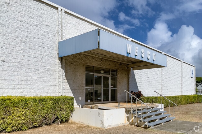
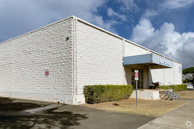
Property Record
1030 Mapunapuna St, Honolulu, HI 96819
NEARBY LISTINGS FOR SALE OR LEASE
Property Detail
1030 Mapunapuna St
Urban Honolulu, HI
Mendonca Tr
1-1-1-007-037-0000
1ST: LOT 37-C MAP 97 LCAPP 1074 3,946 SF 2ND: LOT 2968-B MAP 406 LCAPP 1074 8,804 SF 3RD: LOT 3263-A MAP 467 LCAPP 1074 89,567 SF
Commercialnec
Honolulu
X
Hawaii
15003C0351G
37-c
2024
2.81 AC
2025
Leeward
981300
Hawaii
128,862 SF
DEMOGRAPHICS near 1030 Mapunapuna St
1 Mile
3 Mile
5 Mile
2024 Total Population
23,058
131,616
260,900
2029 Population
22,650
126,832
254,077
Pop Growth 2024-2029
(1.77%)
(3.63%)
(2.62%)
Average Age
40
39
41
2024 Total Households
8,513
36,911
91,977
HH Growth 2024-2029
(2.50%)
(4.19%)
(2.78%)
Median Household Inc
$90,820
$85,659
$80,260
Avg Household Size
2.60
3.10
2.60
2024 Avg HH Vehicles
2.00
2.00
2.00
Median Home Value
$612,961
$770,562
$727,391
Median Year Built
1977
1972
1975
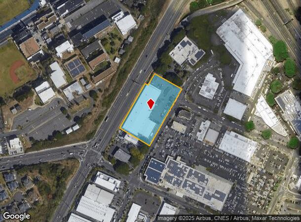
Nearby Places
Map Layers
Map Styles
 Street
 Aerial
- Restaurants
- Banks
- Shops
- Fitness
- Groceries
PUBLIC TRANSPORTATION
AIRPORT
Daniel K Inouye International
DRIVE
WALK
Distance
Daniel K Inouye International
8 min
2.8 mi
Freight Ports
Honolulu Harbor, Oahu
DRIVE
WALK
Distance
Honolulu Harbor, Oahu
11 min
4.6 mi
Nearby Properties
Address
Land Use
TOTAL SIZE
Lot Size
Zoning
Address
Land Use
TOTAL SIZE
Lot Size
Zoning
1,675.63 AC
C/61/60
Address
Land Use
TOTAL SIZE
Lot Size
Zoning
355.21 AC
U/63/80 -
Address
Land Use
TOTAL SIZE
Lot Size
Zoning
1,153,381 SF
425.42 AC
R-5
Address
Land Use
TOTAL SIZE
Lot Size
Zoning
1,725,655 SF
11 AC
I-2
Address
Land Use
TOTAL SIZE
Lot Size
Zoning
1,725,655 SF
11 AC
I-2
Address
Land Use
TOTAL SIZE
Lot Size
Zoning
12,430 SF
86.69 AC
P-1
Address
Land Use
TOTAL SIZE
Lot Size
Zoning
163,285 SF
15.08 AC
R-7.5
Address
Land Use
TOTAL SIZE
Lot Size
Zoning
26,537 SF
2,470.86 AC
I-2
Address
Land Use
TOTAL SIZE
Lot Size
Zoning
1,447,909 SF
12.54 AC
IMX-1
Address
Land Use
TOTAL SIZE
Lot Size
Zoning
919,972 SF
14.45 AC
I-2
Address
Land Use
TOTAL SIZE
Lot Size
Zoning
6.20 AC
I-2
Address
Land Use
TOTAL SIZE
Lot Size
Zoning
960 SF
71.97 AC
P-2
Address
Land Use
TOTAL SIZE
Lot Size
Zoning
16.46 AC
I-2
Address
Land Use
TOTAL SIZE
Lot Size
Zoning
37.94 AC
I-3
Address
Land Use
TOTAL SIZE
Lot Size
Zoning
267,131 SF
6.06 AC
I-2
Address
Land Use
TOTAL SIZE
Lot Size
Zoning
347,039 SF
12.61 AC
IMX-1
Address
Land Use
TOTAL SIZE
Lot Size
Zoning
619,404 SF
10.83 AC
IMX-1
Address
Land Use
TOTAL SIZE
Lot Size
Zoning
262,068 SF
27.25 AC
I-3
Address
Land Use
TOTAL SIZE
Lot Size
Zoning
12.54 AC
IMX-1
Address
Land Use
TOTAL SIZE
Lot Size
Zoning
350,452 SF
9 AC
IMX-1
Address
Land Use
TOTAL SIZE
Lot Size
Zoning
9.58 AC
IMX-1
Address
Land Use
TOTAL SIZE
Lot Size
Zoning
154,018 SF
15.24 AC
F-1
Address
Land Use
TOTAL SIZE
Lot Size
Zoning
9.46 AC
IMX-1
Address
Land Use
TOTAL SIZE
Lot Size
Zoning
12.47 AC
F-1
Address
Land Use
TOTAL SIZE
Lot Size
Zoning
57,554 SF
10.05 AC
I-2
Address
Land Use
TOTAL SIZE
Lot Size
Zoning
390,709 SF
6.78 AC
IMX-1
Address
Land Use
TOTAL SIZE
Lot Size
Zoning
14,553 SF
14.57 AC
B-2
Address
Land Use
TOTAL SIZE
Lot Size
Zoning
117,641 SF
9.61 AC
B-2
Address
Land Use
TOTAL SIZE
Lot Size
Zoning
140,483 SF
5.65 AC
IMX-1
Address
Land Use
TOTAL SIZE
Lot Size
Zoning
245,081 SF
11.42 AC
IMX-1
The World's #1 Commercial Real Estate Marketplace
Connect with us
© 2026 CoStar Group
The information above has been obtained from sources believed reliable. While we do not doubt its accuracy we have not verified it and make no guarantee, warranty or representation about it. It is your responsibility to independently confirm its accuracy and completeness. Any projections, opinions, assumptions, or estimates used are for example only and do not represent the current or future performance of the property. The value of this transaction to you depends on tax and other factors which should be evaluated by your tax, financial, and legal advisors. You and your advisors should conduct a careful, independent investigation of the property to determine to your satisfaction the suitability of the property for your needs.