Property Record
1030 Poplar Ave, Memphis, TN 38105
NEARBY LISTINGS FOR SALE OR LEASE
Property Detail
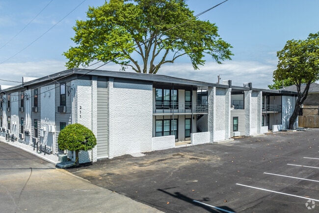
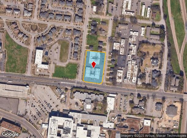
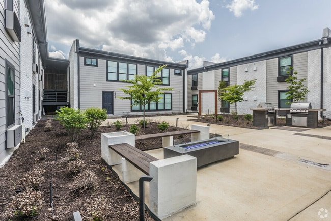
1030 Poplar Ave
Memphis, TN-MS-AR
Roger S Decatur St & Pt
02-0090-0-0007C
NS POPLAR COR COCHRAN NW TO DECATUR
Apartment
Shelby
X
Tennessee
05035C0375E
1&2
0
1.44 AC
2025
Crosstown
002400
Memphis
39,502 SF
DEMOGRAPHICS near 1030 Poplar Ave
1 Mile
3 Mile
5 Mile
2024 Total Population
12,762
99,982
191,229
2029 Population
12,744
100,847
193,193
Pop Growth 2024-2029
(0.14%)
+ 0.87%
+ 1.03%
Average Age
41
39
39
2024 Total Households
6,828
47,952
85,314
HH Growth 2024-2029
(0.31%)
+ 0.62%
+ 0.84%
Median Household Inc
$29,902
$43,689
$39,169
Avg Household Size
1.80
2.00
2.10
2024 Avg HH Vehicles
1.00
1.00
1.00
Median Home Value
$242,307
$233,943
$145,776
Median Year Built
1960
1958
1957
Nearby Places
Map Layers
Map Styles
 Street
 Aerial
- Restaurants
- Banks
- Shops
- Fitness
- Groceries
PUBLIC TRANSPORTATION
TRANSIT/SUBWAY
Pauline Street (Madison Avenue Trolley - Memphis Area Transit Authority Trolley (MataTrolley))
DRIVE
WALK
Distance
Pauline Street (Madison Avenue Trolley - Memphis Area Transit Authority Trolley (MataTrolley))
2 min
15 min
0.8 mi
Dunlap Street (Madison Avenue Trolley - Memphis Area Transit Authority Trolley (MataTrolley))
DRIVE
WALK
Distance
Dunlap Street (Madison Avenue Trolley - Memphis Area Transit Authority Trolley (MataTrolley))
3 min
17 min
0.8 mi
Cleveland Street (Madison Avenue Trolley - Memphis Area Transit Authority Trolley (MataTrolley))
DRIVE
WALK
Distance
Cleveland Street (Madison Avenue Trolley - Memphis Area Transit Authority Trolley (MataTrolley))
3 min
17 min
0.9 mi
Orleans Street (Madison Avenue Trolley - Memphis Area Transit Authority Trolley (MataTrolley))
DRIVE
WALK
Distance
Orleans Street (Madison Avenue Trolley - Memphis Area Transit Authority Trolley (MataTrolley))
3 min
20 min
1.0 mi
AIRPORT
Memphis International
DRIVE
WALK
Distance
Memphis International
17 min
10.8 mi
SALE & LEASE HISTORY
LISTING DATE
SALE/LEASE

May 14, 2020
For Sale
Feb 14, 2025
For Sale
Aug 11, 2023
For Sale
Apr 11, 2023
For Sale
Nearby Properties
Address
Land Use
TOTAL SIZE
Lot Size
Zoning
Address
Land Use
TOTAL SIZE
Lot Size
Zoning
409,950 SF
5.16 AC
CMP-1
Address
Land Use
TOTAL SIZE
Lot Size
Zoning
660,788 SF
8.28 AC
CMP-1
Address
Land Use
TOTAL SIZE
Lot Size
Zoning
61,983 SF
3.95 AC
U
Address
Land Use
TOTAL SIZE
Lot Size
Zoning
237,575 SF
2.34 AC
SE
Address
Land Use
TOTAL SIZE
Lot Size
Zoning
413,375 SF
33.87 AC
U
Address
Land Use
TOTAL SIZE
Lot Size
Zoning
60,363 SF
1.33 AC
SM
Address
Land Use
TOTAL SIZE
Lot Size
Zoning
300,225 SF
9.61 AC
U
Address
Land Use
TOTAL SIZE
Lot Size
Zoning
182,595 SF
3.17 AC
SE
Address
Land Use
TOTAL SIZE
Lot Size
Zoning
131,803 SF
1.33 AC
CBD
Address
Land Use
TOTAL SIZE
Lot Size
Zoning
138,093 SF
7.05 AC
EMP
Address
Land Use
TOTAL SIZE
Lot Size
Zoning
233,547 SF
16.70 AC
SM
Address
Land Use
TOTAL SIZE
Lot Size
Zoning
71,987 SF
2.26 AC
SM
Address
Land Use
TOTAL SIZE
Lot Size
Zoning
516,768 SF
6.11 AC
CMP-1
Address
Land Use
TOTAL SIZE
Lot Size
Zoning
357,917 SF
2.66 AC
SE
Address
Land Use
TOTAL SIZE
Lot Size
Zoning
81,088 SF
23.12 AC
RU-3
Address
Land Use
TOTAL SIZE
Lot Size
Zoning
79,200 SF
1.91 AC
CMP-1
Address
Land Use
TOTAL SIZE
Lot Size
Zoning
99,590 SF
1.73 AC
SE
Address
Land Use
TOTAL SIZE
Lot Size
Zoning
105,244 SF
0.59 AC
CBD
Address
Land Use
TOTAL SIZE
Lot Size
Zoning
116,399 SF
4.30 AC
SDR
Address
Land Use
TOTAL SIZE
Lot Size
Zoning
113,416 SF
3.35 AC
SDR
Address
Land Use
TOTAL SIZE
Lot Size
Zoning
74,369 SF
0.78 AC
SM
Address
Land Use
TOTAL SIZE
Lot Size
Zoning
56,716 SF
0.49 AC
SE
Address
Land Use
TOTAL SIZE
Lot Size
Zoning
237,434 SF
1.99 AC
CBD
Address
Land Use
TOTAL SIZE
Lot Size
Zoning
57,424 SF
0.83 AC
SM
Address
Land Use
TOTAL SIZE
Lot Size
Zoning
2.20 AC
U
Address
Land Use
TOTAL SIZE
Lot Size
Zoning
115,053 SF
4.63 AC
CMU-1
Address
Land Use
TOTAL SIZE
Lot Size
Zoning
2,137 SF
346 AC
R-15
Address
Land Use
TOTAL SIZE
Lot Size
Zoning
109,000 SF
1.18 AC
SE
Address
Land Use
TOTAL SIZE
Lot Size
Zoning
47,430 SF
1.01 AC
CBD
Address
Land Use
TOTAL SIZE
Lot Size
Zoning
76,917 SF
0.60 AC
CBD
The World's #1 Commercial Real Estate Marketplace
Connect with us
© 2025 CoStar Group
The information above has been obtained from sources believed reliable. While we do not doubt its accuracy we have not verified it and make no guarantee, warranty or representation about it. It is your responsibility to independently confirm its accuracy and completeness. Any projections, opinions, assumptions, or estimates used are for example only and do not represent the current or future performance of the property. The value of this transaction to you depends on tax and other factors which should be evaluated by your tax, financial, and legal advisors. You and your advisors should conduct a careful, independent investigation of the property to determine to your satisfaction the suitability of the property for your needs.