Property Record
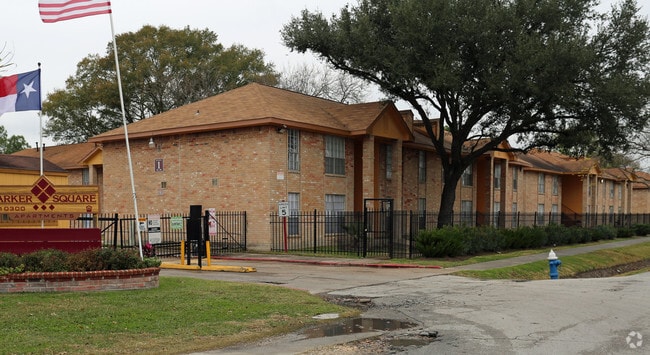
10300 Shady Ln, Houston, TX 77093


Property Detail
10300 Shady Ln
0481090000006
45 R ABST 1572 H&TCRR SEC 2 BLK 1
Governmentalpublicusegeneral
HARRIS
AE The base floodplain where base flood elevations are provided. AE Zones are now used on new format FIRMs instead of A1-A30 Zones.
Texas
2025
9.16 AC
2025
Eastex-Jensen
221000
Houston
148,266 SF
Houston-Pasadena-The Woodlands, TX
NEARBY LISTINGS FOR SALE OR LEASE
DEMOGRAPHICS near 10300 Shady Ln
1 mile
3 mile
5 mile
2025 Total Population
12,100
122,575
302,828
2030 Population
12,833
130,646
324,378
Pop Growth 2025-2030
+ 6.06%
+ 6.58%
+ 7.12%
Average Age
36
36
37
2025 Total Households
3,281
36,549
97,745
HH Growth 2025-2030
+ 6.22%
+ 6.82%
+ 7.44%
Median Household Inc
$43,443
$44,794
$48,448
Avg Household Size
3.50
3.30
3.00
2025 Avg HH Vehicles
2.00
2.00
2.00
Median Home Value
$161,442
$161,586
$186,247
Median Year Built
1959
1964
1967
Nearby Places
Map Layers
Map Styles
 Street
 Aerial
Layers
 Traffic
 Biking
Places
Listings with unknown addresses are not visible on the map
- Restaurants
- Banks
- Shops
- Fitness
- Groceries
PUBLIC TRANSPORTATION
COMMUTER RAIL
Drive
Walk
Distance
16 min
9.2 mi
AIRPORT
George Bush Intcntl/Houston
Drive
Walk
Distance
George Bush Intcntl/Houston
17 min
10.3 mi
William P Hobby
Drive
Walk
Distance
William P Hobby
34 min
20.2 mi
Freight Ports
Port of Houston
Drive
Walk
Distance
Port of Houston
23 min
13.8 mi
Nearby Properties
Address
Land Use
TOTAL SIZE
Lot Size
Zoning
Address
Land Use
TOTAL SIZE
Lot Size
Zoning
545,628 SF
19.41 AC
Address
Land Use
TOTAL SIZE
Lot Size
Zoning
188,582 SF
17.94 AC
Address
Land Use
TOTAL SIZE
Lot Size
Zoning
91,623 SF
9.09 AC
Address
Land Use
TOTAL SIZE
Lot Size
Zoning
200,186 SF
13.20 AC
Address
Land Use
TOTAL SIZE
Lot Size
Zoning
261,236 SF
11.57 AC
Address
Land Use
TOTAL SIZE
Lot Size
Zoning
81,067 SF
35.13 AC
Address
Land Use
TOTAL SIZE
Lot Size
Zoning
219,230 SF
9.92 AC
Address
Land Use
TOTAL SIZE
Lot Size
Zoning
230,024 SF
15.34 AC
Address
Land Use
TOTAL SIZE
Lot Size
Zoning
112,212 SF
10.51 AC
Address
Land Use
TOTAL SIZE
Lot Size
Zoning
69,777 SF
2.36 AC
Address
Land Use
TOTAL SIZE
Lot Size
Zoning
130,309 SF
13.28 AC
Address
Land Use
TOTAL SIZE
Lot Size
Zoning
91,726 SF
6.23 AC
Address
Land Use
TOTAL SIZE
Lot Size
Zoning
139,709 SF
4.76 AC
Address
Land Use
TOTAL SIZE
Lot Size
Zoning
82,951 SF
21.32 AC
Address
Land Use
TOTAL SIZE
Lot Size
Zoning
51,941 SF
3.71 AC
Address
Land Use
TOTAL SIZE
Lot Size
Zoning
102,214 SF
11.26 AC
Address
Land Use
TOTAL SIZE
Lot Size
Zoning
352,503 SF
20.41 AC
Address
Land Use
TOTAL SIZE
Lot Size
Zoning
186,629 SF
9.75 AC
Address
Land Use
TOTAL SIZE
Lot Size
Zoning
264,312 SF
9.78 AC
Address
Land Use
TOTAL SIZE
Lot Size
Zoning
67,380 SF
1.81 AC
Address
Land Use
TOTAL SIZE
Lot Size
Zoning
136,996 SF
29.18 AC
Address
Land Use
TOTAL SIZE
Lot Size
Zoning
129,204 SF
7.03 AC
Address
Land Use
TOTAL SIZE
Lot Size
Zoning
164,377 SF
32.46 AC
Address
Land Use
TOTAL SIZE
Lot Size
Zoning
120,288 SF
9.30 AC
Address
Land Use
TOTAL SIZE
Lot Size
Zoning
105,191 SF
4.56 AC
Address
Land Use
TOTAL SIZE
Lot Size
Zoning
88,462 SF
6.93 AC
Address
Land Use
TOTAL SIZE
Lot Size
Zoning
68,140 SF
8.49 AC
Address
Land Use
TOTAL SIZE
Lot Size
Zoning
79,260 SF
Address
Land Use
TOTAL SIZE
Lot Size
Zoning
81,225 SF
5.03 AC
The World's #1 Commercial Real Estate Marketplace
Connect with us
© 2026 CoStar Group
The information above has been obtained from sources believed reliable. While we do not doubt its accuracy we have not verified it and make no guarantee, warranty or representation about it. It is your responsibility to independently confirm its accuracy and completeness. Any projections, opinions, assumptions, or estimates used are for example only and do not represent the current or future performance of the property. The value of this transaction to you depends on tax and other factors which should be evaluated by your tax, financial, and legal advisors. You and your advisors should conduct a careful, independent investigation of the property to determine to your satisfaction the suitability of the property for your needs.