Property Record
1033 Flying X Rd, Spicewood, TX 78669
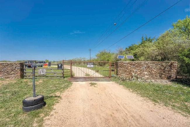

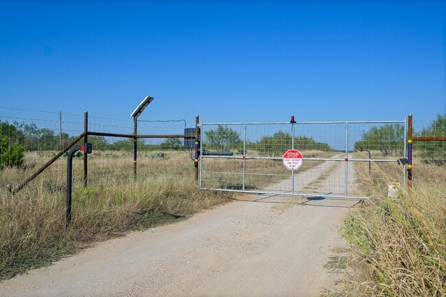
This Property Is For Sale
Property Detail
1033 Flying X Rd
71297
ABS A0775 MA. CATALINA SALINAS, 517.58 ACRES, INCLUDES VARIOUS ABSTS
Agriculturalland
BURNET
AE The base floodplain where base flood elevations are provided. AE Zones are now used on new format FIRMs instead of A1-A30 Zones.
Texas
2024
517.58 AC
2025
Texas Hill Country
960803
Other Market Areas
2,016 SF
NEARBY LISTINGS FOR SALE OR LEASE
-
-
View all Spicewood listings for sale on LoopNet.com
DEMOGRAPHICS near 1033 Flying X Rd
1 mile
3 mile
5 mile
2025 Total Population
12
1,988
3,484
2030 Population
14
2,188
3,852
Pop Growth 2025-2030
+ 16.67%
+ 10.06%
+ 10.56%
Average Age
40
47
48
2025 Total Households
5
830
1,466
HH Growth 2025-2030
+ 20.00%
+ 10.00%
+ 10.64%
Median Household Inc
$112,500
$82,367
$82,949
Avg Household Size
1.80
2.40
2.40
2025 Avg HH Vehicles
2.00
2.00
2.00
Median Home Value
$299,999
$424,193
$407,426
Median Year Built
1992
2003
2004
Nearby Places
Map Layers
Map Styles
 Street
 Aerial
Layers
 Traffic
 Biking
Places
Listings with unknown addresses are not visible on the map
- Restaurants
- Banks
- Shops
- Fitness
- Groceries
Nearby Properties
Address
Land Use
TOTAL SIZE
Lot Size
Zoning
Address
Land Use
TOTAL SIZE
Lot Size
Zoning
320 AC
Address
Land Use
TOTAL SIZE
Lot Size
Zoning
4,660 SF
180.52 AC
Address
Land Use
TOTAL SIZE
Lot Size
Zoning
18,527 SF
136.20 AC
Address
Land Use
TOTAL SIZE
Lot Size
Zoning
15,844 SF
2.36 AC
Address
Land Use
TOTAL SIZE
Lot Size
Zoning
9,650 SF
10.04 AC
Address
Land Use
TOTAL SIZE
Lot Size
Zoning
Address
Land Use
TOTAL SIZE
Lot Size
Zoning
1,840 SF
22.34 AC
Address
Land Use
TOTAL SIZE
Lot Size
Zoning
29.30 AC
Address
Land Use
TOTAL SIZE
Lot Size
Zoning
7,470 SF
1 AC
Address
Land Use
TOTAL SIZE
Lot Size
Zoning
10,200 SF
2.04 AC
Address
Land Use
TOTAL SIZE
Lot Size
Zoning
6,476 SF
17.85 AC
Address
Land Use
TOTAL SIZE
Lot Size
Zoning
3,520 SF
5.68 AC
Address
Land Use
TOTAL SIZE
Lot Size
Zoning
4.36 AC
Address
Land Use
TOTAL SIZE
Lot Size
Zoning
5,136 SF
22.69 AC
Address
Land Use
TOTAL SIZE
Lot Size
Zoning
6,358 SF
36.69 AC
Address
Land Use
TOTAL SIZE
Lot Size
Zoning
3,894 SF
1 AC
Address
Land Use
TOTAL SIZE
Lot Size
Zoning
5,086 SF
3 AC
Address
Land Use
TOTAL SIZE
Lot Size
Zoning
19,525 SF
1.99 AC
Address
Land Use
TOTAL SIZE
Lot Size
Zoning
6.36 AC
Address
Land Use
TOTAL SIZE
Lot Size
Zoning
6,482 SF
109.75 AC
Address
Land Use
TOTAL SIZE
Lot Size
Zoning
2,636 SF
7.62 AC
Address
Land Use
TOTAL SIZE
Lot Size
Zoning
844 SF
7.18 AC
Address
Land Use
TOTAL SIZE
Lot Size
Zoning
3,932 SF
4.24 AC
Address
Land Use
TOTAL SIZE
Lot Size
Zoning
2,620 SF
459.98 AC
Address
Land Use
TOTAL SIZE
Lot Size
Zoning
11.71 AC
Address
Land Use
TOTAL SIZE
Lot Size
Zoning
2,119 SF
1.10 AC
Address
Land Use
TOTAL SIZE
Lot Size
Zoning
Address
Land Use
TOTAL SIZE
Lot Size
Zoning
1,235 SF
6.44 AC
Address
Land Use
TOTAL SIZE
Lot Size
Zoning
4,709 SF
1 AC
The World's #1 Commercial Real Estate Marketplace
Connect with us
© 2026 CoStar Group
The information above has been obtained from sources believed reliable. While we do not doubt its accuracy we have not verified it and make no guarantee, warranty or representation about it. It is your responsibility to independently confirm its accuracy and completeness. Any projections, opinions, assumptions, or estimates used are for example only and do not represent the current or future performance of the property. The value of this transaction to you depends on tax and other factors which should be evaluated by your tax, financial, and legal advisors. You and your advisors should conduct a careful, independent investigation of the property to determine to your satisfaction the suitability of the property for your needs.