Property Record
10344 Division Rd, Columbus, MI 48063
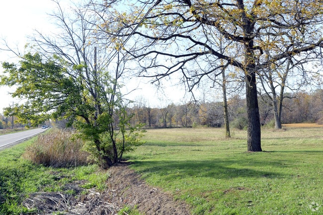

Property Detail
10344 Division Rd
16-031-4003-000
THE W 32 RDS OF E 48 RDS OF S 50 RDS OF E 1/2 OF SW FRAC 1/4 SEC 31 T5N R15E 10 A
Publicstorage
Saint Clair
INDUSTR
Michigan
B and X Area of moderate flood hazard, usually the area between the limits of the 100-year and 500-year floods.
10 AC
2025
St Clair & Lapeer Counties
2025
Detroit
651600
Detroit-Warren-Dearborn, MI
30,000 SF
NEARBY LISTINGS FOR SALE OR LEASE
DEMOGRAPHICS near 10344 Division Rd
1 mile
3 mile
5 mile
2025 Total Population
935
9,096
14,537
2030 Population
944
9,173
14,667
Pop Growth 2025-2030
+ 0.96%
+ 0.85%
+ 0.89%
Average Age
43
43
43
2025 Total Households
416
3,654
5,689
HH Growth 2025-2030
+ 1.20%
+ 0.88%
+ 0.90%
Median Household Inc
$62,938
$71,683
$75,309
Avg Household Size
2.20
2.40
2.50
2025 Avg HH Vehicles
2.00
2.00
2.00
Median Home Value
$237,037
$265,962
$272,373
Median Year Built
1989
1982
1982
Nearby Places
Map Layers
Map Styles
 Street
 Aerial
Layers
 Traffic
 Biking
Places
Listings with unknown addresses are not visible on the map
- Restaurants
- Banks
- Shops
- Fitness
- Groceries
SALE & LEASE HISTORY
LISTING DATE
SALE/LEASE

Dec 05, 2017
For Sale
Aug 09, 2018
For Sale
Nearby Properties
Address
Land Use
TOTAL SIZE
Lot Size
Zoning
Address
Land Use
TOTAL SIZE
Lot Size
Zoning
102,913 SF
B-3
Address
Land Use
TOTAL SIZE
Lot Size
Zoning
86,155 SF
17.46 AC
RM-1
Address
Land Use
TOTAL SIZE
Lot Size
Zoning
83,316 SF
11.93 AC
B-3
Address
Land Use
TOTAL SIZE
Lot Size
Zoning
218,105 SF
12.09 AC
I-1
Address
Land Use
TOTAL SIZE
Lot Size
Zoning
21,520 SF
5.54 AC
B-3
Address
Land Use
TOTAL SIZE
Lot Size
Zoning
20,070 SF
5 AC
CG
Address
Land Use
TOTAL SIZE
Lot Size
Zoning
50,854 SF
3.79 AC
RM-1
Address
Land Use
TOTAL SIZE
Lot Size
Zoning
64,565 SF
16.60 AC
IND20KSF
Address
Land Use
TOTAL SIZE
Lot Size
Zoning
37,807 SF
4.41 AC
B-3
Address
Land Use
TOTAL SIZE
Lot Size
Zoning
31,170 SF
8.16 AC
B-3
Address
Land Use
TOTAL SIZE
Lot Size
Zoning
99,504 SF
10.40 AC
B-3
Address
Land Use
TOTAL SIZE
Lot Size
Zoning
1,104 SF
79.25 AC
CG
Address
Land Use
TOTAL SIZE
Lot Size
Zoning
21,200 SF
22.25 AC
CG
Address
Land Use
TOTAL SIZE
Lot Size
Zoning
27,754 SF
2.58 AC
RM-1
Address
Land Use
TOTAL SIZE
Lot Size
Zoning
26,479 SF
2.95 AC
RM-1
Address
Land Use
TOTAL SIZE
Lot Size
Zoning
25.07 AC
I-1
Address
Land Use
TOTAL SIZE
Lot Size
Zoning
91,910 SF
11.64 AC
B-3
Address
Land Use
TOTAL SIZE
Lot Size
Zoning
17,995 SF
2.66 AC
O
Address
Land Use
TOTAL SIZE
Lot Size
Zoning
11,040 SF
152.52 AC
AG
Address
Land Use
TOTAL SIZE
Lot Size
Zoning
4,416 SF
52.54 AC
RLD
Address
Land Use
TOTAL SIZE
Lot Size
Zoning
27,616 SF
1.86 AC
RM-1
Address
Land Use
TOTAL SIZE
Lot Size
Zoning
21,420 SF
5.11 AC
RM-1
Address
Land Use
TOTAL SIZE
Lot Size
Zoning
13,367 SF
1.22 AC
B-3
Address
Land Use
TOTAL SIZE
Lot Size
Zoning
7,316 SF
47.28 AC
AG
Address
Land Use
TOTAL SIZE
Lot Size
Zoning
9,525 SF
6.56 AC
O
Address
Land Use
TOTAL SIZE
Lot Size
Zoning
47,074 SF
6.47 AC
I-1
Address
Land Use
TOTAL SIZE
Lot Size
Zoning
1.57 AC
Address
Land Use
TOTAL SIZE
Lot Size
Zoning
3,146 SF
16.48 AC
R-4
Address
Land Use
TOTAL SIZE
Lot Size
Zoning
19,360 SF
1.25 AC
RM-1
The World's #1 Commercial Real Estate Marketplace
Connect with us
© 2026 CoStar Group
The information above has been obtained from sources believed reliable. While we do not doubt its accuracy we have not verified it and make no guarantee, warranty or representation about it. It is your responsibility to independently confirm its accuracy and completeness. Any projections, opinions, assumptions, or estimates used are for example only and do not represent the current or future performance of the property. The value of this transaction to you depends on tax and other factors which should be evaluated by your tax, financial, and legal advisors. You and your advisors should conduct a careful, independent investigation of the property to determine to your satisfaction the suitability of the property for your needs.