Property Record
10348 Highway 44, Middleton, ID 83644

NEARBY LISTINGS FOR SALE OR LEASE
Property Detail
10348 Highway 44
3391600000
08-4N-2W NE TX 14102 IN NWNE
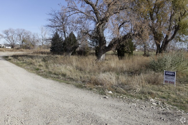
Agriculturalland
Canyon
X
Idaho
16001C0125J
13.56 AC
2024
Middleton
2025
Boise City/Nampa
021901
Boise City, ID
DEMOGRAPHICS near 10348 Highway 44
1 Mile
3 Mile
5 Mile
2024 Total Population
4,373
18,300
51,520
2029 Population
5,337
22,495
62,936
Pop Growth 2024-2029
+ 22.04%
+ 22.92%
+ 22.16%
Average Age
36
37
37
2024 Total Households
1,439
5,941
16,460
HH Growth 2024-2029
+ 22.38%
+ 23.21%
+ 22.42%
Median Household Inc
$62,637
$74,430
$72,445
Avg Household Size
3.10
3.10
3.10
2024 Avg HH Vehicles
3.00
3.00
2.00
Median Home Value
$353,184
$382,549
$370,611
Median Year Built
2003
2005
2004
Nearby Places
Map Layers
Map Styles
 Street
 Aerial
- Restaurants
- Banks
- Shops
- Fitness
- Groceries
PUBLIC TRANSPORTATION
AIRPORT
Boise Air Trml/Gowen Field
DRIVE
WALK
Distance
Boise Air Trml/Gowen Field
57 min
31.2 mi
Freight Ports
Port of Portland
DRIVE
WALK
Distance
Port of Portland
452 min
408.5 mi
Nearby Properties
Address
Land Use
TOTAL SIZE
Lot Size
Zoning
Address
Land Use
TOTAL SIZE
Lot Size
Zoning
15,490 SF
47.33 AC
M1
Address
Land Use
TOTAL SIZE
Lot Size
Zoning
55,920 SF
7.47 AC
M1
Address
Land Use
TOTAL SIZE
Lot Size
Zoning
9.55 AC
Address
Land Use
TOTAL SIZE
Lot Size
Zoning
20.18 AC
Address
Land Use
TOTAL SIZE
Lot Size
Zoning
4.93 AC
Address
Land Use
TOTAL SIZE
Lot Size
Zoning
4.47 AC
Address
Land Use
TOTAL SIZE
Lot Size
Zoning
15.69 AC
M1
Address
Land Use
TOTAL SIZE
Lot Size
Zoning
4.89 AC
M1
Address
Land Use
TOTAL SIZE
Lot Size
Zoning
48,600 SF
2.17 AC
M1
Address
Land Use
TOTAL SIZE
Lot Size
Zoning
13.44 AC
Address
Land Use
TOTAL SIZE
Lot Size
Zoning
1.08 AC
M1
Address
Land Use
TOTAL SIZE
Lot Size
Zoning
1,368 SF
4.73 AC
Address
Land Use
TOTAL SIZE
Lot Size
Zoning
2.36 AC
M1
Address
Land Use
TOTAL SIZE
Lot Size
Zoning
62,950 SF
8.40 AC
M1
Address
Land Use
TOTAL SIZE
Lot Size
Zoning
3.76 AC
Address
Land Use
TOTAL SIZE
Lot Size
Zoning
23.41 AC
C1
Address
Land Use
TOTAL SIZE
Lot Size
Zoning
Address
Land Use
TOTAL SIZE
Lot Size
Zoning
2.79 AC
Address
Land Use
TOTAL SIZE
Lot Size
Zoning
5.96 AC
Address
Land Use
TOTAL SIZE
Lot Size
Zoning
34,130 SF
5.28 AC
M1
Address
Land Use
TOTAL SIZE
Lot Size
Zoning
49.11 AC
C1
Address
Land Use
TOTAL SIZE
Lot Size
Zoning
57.19 AC
Address
Land Use
TOTAL SIZE
Lot Size
Zoning
1,641 SF
20.32 AC
Address
Land Use
TOTAL SIZE
Lot Size
Zoning
21.43 AC
Address
Land Use
TOTAL SIZE
Lot Size
Zoning
1.06 AC
C1
Address
Land Use
TOTAL SIZE
Lot Size
Zoning
2.07 AC
M1
Address
Land Use
TOTAL SIZE
Lot Size
Zoning
15.58 AC
Address
Land Use
TOTAL SIZE
Lot Size
Zoning
1.31 AC
Address
Land Use
TOTAL SIZE
Lot Size
Zoning
2.23 AC
Address
Land Use
TOTAL SIZE
Lot Size
Zoning
1,745 SF
51.42 AC
The World's #1 Commercial Real Estate Marketplace
Connect with us
© 2025 CoStar Group
The information above has been obtained from sources believed reliable. While we do not doubt its accuracy we have not verified it and make no guarantee, warranty or representation about it. It is your responsibility to independently confirm its accuracy and completeness. Any projections, opinions, assumptions, or estimates used are for example only and do not represent the current or future performance of the property. The value of this transaction to you depends on tax and other factors which should be evaluated by your tax, financial, and legal advisors. You and your advisors should conduct a careful, independent investigation of the property to determine to your satisfaction the suitability of the property for your needs.