Property Record
10357 Mulecreek Rd, San Angelo, TX 76901

Current Lease Availabilities
NEARBY LISTINGS FOR SALE OR LEASE
-
-
View all San Angelo listings for lease on LoopNet.com
Property Detail
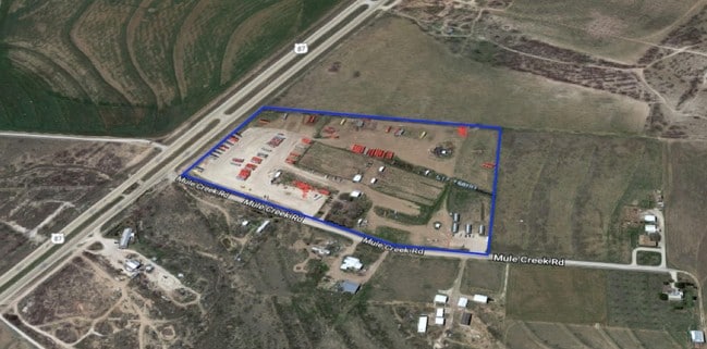
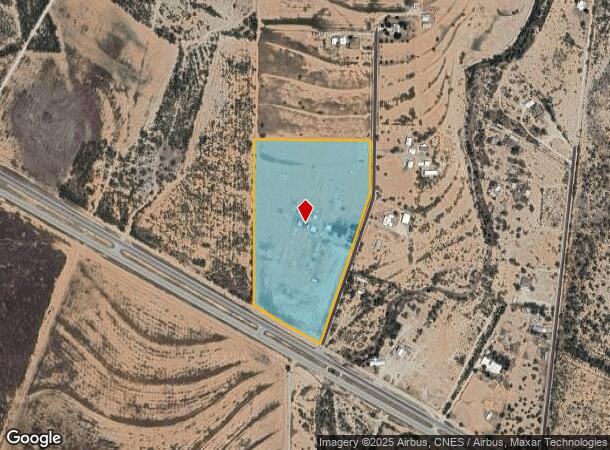
10357 Mulecreek Rd
San Angelo, TX
Mule Creek Sd
70-53000-0000-011-00
Tom Green
Sfr
Texas
X
2 AC
48451C0325E
Texas West Area
2,129 SF
Other Market Areas
DEMOGRAPHICS near 10357 Mulecreek Rd
1 Mile
3 Mile
5 Mile
2024 Total Population
130
1,556
5,338
2029 Population
124
1,497
5,317
Pop Growth 2024-2029
(4.62%)
(3.79%)
(0.39%)
Average Age
37
38
39
2024 Total Households
39
475
1,860
HH Growth 2024-2029
(5.13%)
(4.21%)
(0.32%)
Median Household Inc
$62,500
$53,095
$50,202
Avg Household Size
2.80
2.80
2.70
2024 Avg HH Vehicles
2.00
2.00
2.00
Median Home Value
$154,999
$146,538
$135,033
Median Year Built
1992
1990
1988
Nearby Places
- Restaurants
- Banks
- Shops
- Fitness
- Groceries
PUBLIC TRANSPORTATION
AIRPORT
San Angelo Regional/Mathis Field
DRIVE
WALK
Distance
San Angelo Regional/Mathis Field
35 min
24.9 mi
Freight Ports
Calhoun Port
DRIVE
WALK
Distance
Calhoun Port
414 min
374.4 mi
Nearby Properties
Address
Land Use
TOTAL SIZE
Lot Size
Zoning
Address
Land Use
TOTAL SIZE
Lot Size
Zoning
19,125 SF
39.33 AC
Address
Land Use
TOTAL SIZE
Lot Size
Zoning
9,100 SF
1.12 AC
Address
Land Use
TOTAL SIZE
Lot Size
Zoning
182.76 AC
Address
Land Use
TOTAL SIZE
Lot Size
Zoning
159.77 AC
Address
Land Use
TOTAL SIZE
Lot Size
Zoning
98.19 AC
Address
Land Use
TOTAL SIZE
Lot Size
Zoning
1,428 SF
138.47 AC
Address
Land Use
TOTAL SIZE
Lot Size
Zoning
750 SF
82.22 AC
Address
Land Use
TOTAL SIZE
Lot Size
Zoning
78.06 AC
Address
Land Use
TOTAL SIZE
Lot Size
Zoning
113.75 AC
Address
Land Use
TOTAL SIZE
Lot Size
Zoning
113.57 AC
Address
Land Use
TOTAL SIZE
Lot Size
Zoning
108.89 AC
Address
Land Use
TOTAL SIZE
Lot Size
Zoning
Address
Land Use
TOTAL SIZE
Lot Size
Zoning
102.41 AC
Address
Land Use
TOTAL SIZE
Lot Size
Zoning
Address
Land Use
TOTAL SIZE
Lot Size
Zoning
83.81 AC
Address
Land Use
TOTAL SIZE
Lot Size
Zoning
Address
Land Use
TOTAL SIZE
Lot Size
Zoning
Address
Land Use
TOTAL SIZE
Lot Size
Zoning
49.65 AC
Address
Land Use
TOTAL SIZE
Lot Size
Zoning
1,800 SF
38.42 AC
Address
Land Use
TOTAL SIZE
Lot Size
Zoning
28.90 AC
Address
Land Use
TOTAL SIZE
Lot Size
Zoning
4,757 SF
121.33 AC
Address
Land Use
TOTAL SIZE
Lot Size
Zoning
Address
Land Use
TOTAL SIZE
Lot Size
Zoning
26.09 AC
Address
Land Use
TOTAL SIZE
Lot Size
Zoning
16.25 AC
Address
Land Use
TOTAL SIZE
Lot Size
Zoning
520 SF
3 AC
Address
Land Use
TOTAL SIZE
Lot Size
Zoning
25.08 AC
Address
Land Use
TOTAL SIZE
Lot Size
Zoning
192 SF
24.43 AC
Address
Land Use
TOTAL SIZE
Lot Size
Zoning
784 SF
15.32 AC
The World's #1 Commercial Real Estate Marketplace
Connect with us
© 2025 CoStar Group
The information above has been obtained from sources believed reliable. While we do not doubt its accuracy we have not verified it and make no guarantee, warranty or representation about it. It is your responsibility to independently confirm its accuracy and completeness. Any projections, opinions, assumptions, or estimates used are for example only and do not represent the current or future performance of the property. The value of this transaction to you depends on tax and other factors which should be evaluated by your tax, financial, and legal advisors. You and your advisors should conduct a careful, independent investigation of the property to determine to your satisfaction the suitability of the property for your needs.