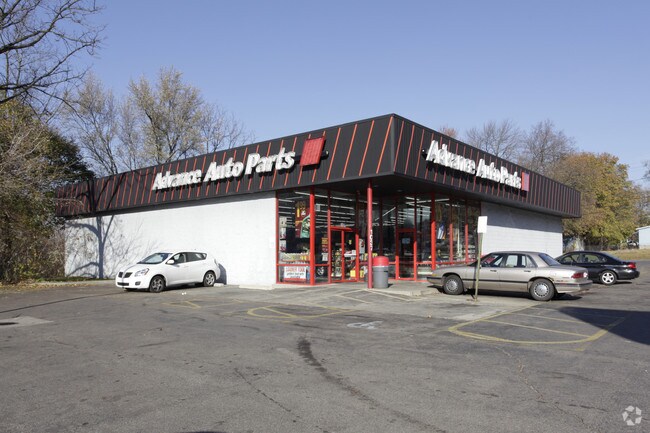
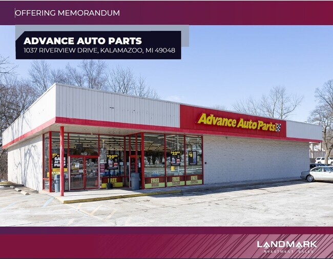
Property Record
1037 Riverview Dr, Kalamazoo, MI 49048

NEARBY LISTINGS FOR SALE OR LEASE
Property Detail
1037 Riverview Dr
Kalamazoo-Portage, MI
Thomas Addition
06-14-105-001
45874, 45876, 45878, 45882 ASSESSORS PLAT OF THOMAS ADDITION LOT 14, LOT 18, & LOT 16. ALSO THE SOUTHERLY 50 FEET OF LOT 15.
Commercialnec
Kalamazoo
AE
Michigan
26077C0187E
13-14
2024
0.74 AC
2025
Central Kalamazoo
000100
West Michigan
6,715 SF
DEMOGRAPHICS near 1037 Riverview Dr
1 Mile
3 Mile
5 Mile
2024 Total Population
8,099
67,638
131,811
2029 Population
8,222
67,795
131,953
Pop Growth 2024-2029
+ 1.52%
+ 0.23%
+ 0.11%
Average Age
35
35
36
2024 Total Households
3,056
26,757
55,360
HH Growth 2024-2029
+ 1.57%
+ 0.25%
+ 0.13%
Median Household Inc
$39,179
$44,953
$48,753
Avg Household Size
2.40
2.30
2.20
2024 Avg HH Vehicles
1.00
2.00
2.00
Median Home Value
$76,330
$134,954
$158,583
Median Year Built
1948
1952
1966
Nearby Places
Map Layers
Map Styles
 Street
 Aerial
- Restaurants
- Banks
- Shops
- Fitness
- Groceries
PUBLIC TRANSPORTATION
COMMUTER RAIL
DRIVE
WALK
Distance
3 min
20 min
1.0 mi
AIRPORT
Kalamazoo/Battle Creek International
DRIVE
WALK
Distance
Kalamazoo/Battle Creek International
17 min
7.2 mi
SALE & LEASE HISTORY
LISTING DATE
SALE/LEASE

Mar 03, 2022
For Sale
Nearby Properties
Address
Land Use
TOTAL SIZE
Lot Size
Zoning
Address
Land Use
TOTAL SIZE
Lot Size
Zoning
632,218 SF
10.84 AC
M-1
Address
Land Use
TOTAL SIZE
Lot Size
Zoning
329,276 SF
43.86 AC
RM-1
Address
Land Use
TOTAL SIZE
Lot Size
Zoning
429,500 SF
2 AC
CCBD
Address
Land Use
TOTAL SIZE
Lot Size
Zoning
877,422 SF
38.18 AC
M-2
Address
Land Use
TOTAL SIZE
Lot Size
Zoning
201,940 SF
9.30 AC
RM-36
Address
Land Use
TOTAL SIZE
Lot Size
Zoning
110,686 SF
9.45 AC
CCBD
Address
Land Use
TOTAL SIZE
Lot Size
Zoning
390,900 SF
14 AC
I-M IND
Address
Land Use
TOTAL SIZE
Lot Size
Zoning
275,595 SF
0.65 AC
CCBD
Address
Land Use
TOTAL SIZE
Lot Size
Zoning
Address
Land Use
TOTAL SIZE
Lot Size
Zoning
50,826 SF
0.79 AC
CCBD
Address
Land Use
TOTAL SIZE
Lot Size
Zoning
12.58 AC
Address
Land Use
TOTAL SIZE
Lot Size
Zoning
274,412 SF
12.10 AC
RM-1
Address
Land Use
TOTAL SIZE
Lot Size
Zoning
99,092 SF
1.45 AC
CCBD
Address
Land Use
TOTAL SIZE
Lot Size
Zoning
98,401 SF
2.94 AC
RM-15
Address
Land Use
TOTAL SIZE
Lot Size
Zoning
217,600 SF
21.30 AC
N/A
Address
Land Use
TOTAL SIZE
Lot Size
Zoning
171,772 SF
0.68 AC
CCBD
Address
Land Use
TOTAL SIZE
Lot Size
Zoning
185,528 SF
17.20 AC
R5
Address
Land Use
TOTAL SIZE
Lot Size
Zoning
49,894 SF
7.09 AC
RM-15
Address
Land Use
TOTAL SIZE
Lot Size
Zoning
232,072 SF
21.21 AC
PUD
Address
Land Use
TOTAL SIZE
Lot Size
Zoning
183,820 SF
5.24 AC
CC
Address
Land Use
TOTAL SIZE
Lot Size
Zoning
129,780 SF
0.78 AC
CCBD
Address
Land Use
TOTAL SIZE
Lot Size
Zoning
98,360 SF
13.58 AC
R4
Address
Land Use
TOTAL SIZE
Lot Size
Zoning
42,386 SF
1.55 AC
RM-15
Address
Land Use
TOTAL SIZE
Lot Size
Zoning
143,760 SF
10.25 AC
M-2
Address
Land Use
TOTAL SIZE
Lot Size
Zoning
118,104 SF
10.40 AC
R4
Address
Land Use
TOTAL SIZE
Lot Size
Zoning
9.65 AC
RM-36
Address
Land Use
TOTAL SIZE
Lot Size
Zoning
Address
Land Use
TOTAL SIZE
Lot Size
Zoning
86,855 SF
0.54 AC
CCBD
Address
Land Use
TOTAL SIZE
Lot Size
Zoning
313,777 SF
15.30 AC
M-2
Address
Land Use
TOTAL SIZE
Lot Size
Zoning
49,216 SF
2.90 AC
RM-2
The World's #1 Commercial Real Estate Marketplace
Connect with us
© 2025 CoStar Group
The information above has been obtained from sources believed reliable. While we do not doubt its accuracy we have not verified it and make no guarantee, warranty or representation about it. It is your responsibility to independently confirm its accuracy and completeness. Any projections, opinions, assumptions, or estimates used are for example only and do not represent the current or future performance of the property. The value of this transaction to you depends on tax and other factors which should be evaluated by your tax, financial, and legal advisors. You and your advisors should conduct a careful, independent investigation of the property to determine to your satisfaction the suitability of the property for your needs.