Property Record
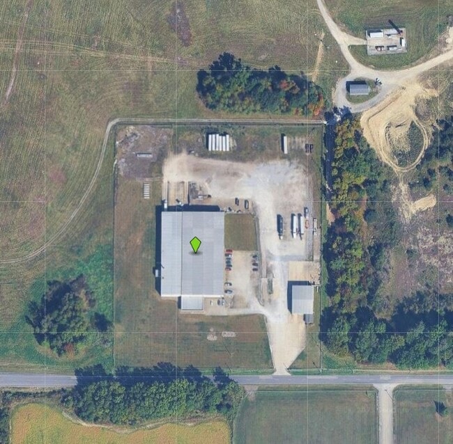
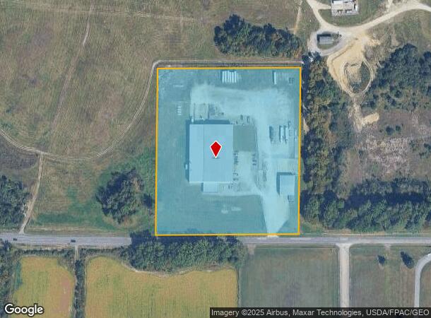
10370 W South Range Rd, Salem, OH 44460
NEARBY LISTINGS FOR SALE OR LEASE
-
-
View all Salem listings for sale on LoopNet.com
Property Detail
10370 W South Range Rd
Youngstown/Warren/Boardman
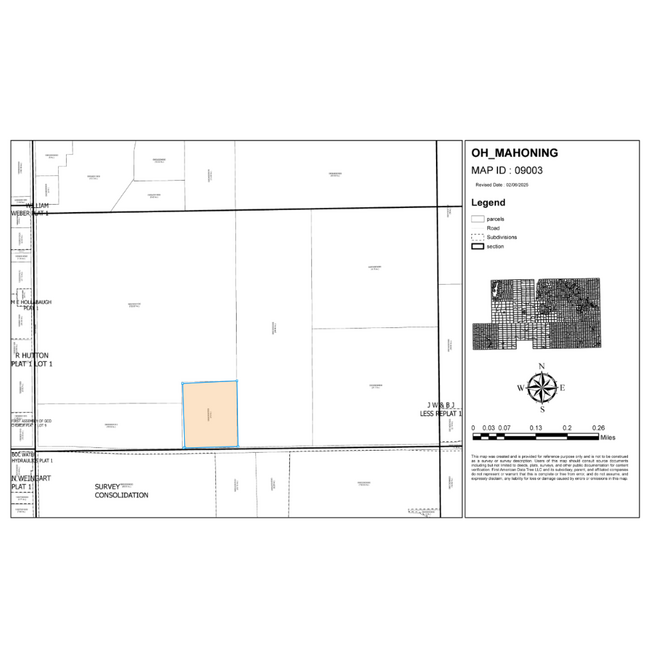
Green Township Sec 18
Youngstown-Warren-Boardman, OH-PA
SEC 18
09-003-0-005.00-0
Mahoning
Storebuilding
Ohio
2024
18
2024
10 AC
813400
Mahoning County
51,136 SF
DEMOGRAPHICS near 10370 W South Range Rd
1 Mile
3 Mile
5 Mile
2024 Total Population
273
8,908
22,116
2029 Population
261
8,803
21,771
Pop Growth 2024-2029
(4.40%)
(1.18%)
(1.56%)
Average Age
45
44
44
2024 Total Households
109
3,701
9,338
HH Growth 2024-2029
(4.59%)
(1.24%)
(1.57%)
Median Household Inc
$69,107
$63,369
$53,826
Avg Household Size
2.50
2.30
2.30
2024 Avg HH Vehicles
3.00
2.00
2.00
Median Home Value
$245,454
$168,259
$151,443
Median Year Built
1977
1959
1962
Nearby Places
Map Layers
Map Styles
 Street
 Aerial
- Restaurants
- Banks
- Shops
- Fitness
- Groceries
PUBLIC TRANSPORTATION
AIRPORT
Akron-Canton Regional
DRIVE
WALK
Distance
Akron-Canton Regional
59 min
35.4 mi
Nearby Properties
Address
Land Use
TOTAL SIZE
Lot Size
Zoning
Address
Land Use
TOTAL SIZE
Lot Size
Zoning
27.88 AC
Address
Land Use
TOTAL SIZE
Lot Size
Zoning
58,425 SF
5.46 AC
Address
Land Use
TOTAL SIZE
Lot Size
Zoning
1,728 SF
21.65 AC
Address
Land Use
TOTAL SIZE
Lot Size
Zoning
72,432 SF
5.05 AC
Address
Land Use
TOTAL SIZE
Lot Size
Zoning
13,544 SF
6.71 AC
Address
Land Use
TOTAL SIZE
Lot Size
Zoning
28,814 SF
1.17 AC
Address
Land Use
TOTAL SIZE
Lot Size
Zoning
51,560 SF
5.18 AC
Address
Land Use
TOTAL SIZE
Lot Size
Zoning
59,912 SF
2.17 AC
Address
Land Use
TOTAL SIZE
Lot Size
Zoning
42,673 SF
2.09 AC
Address
Land Use
TOTAL SIZE
Lot Size
Zoning
57,108 SF
1.38 AC
Address
Land Use
TOTAL SIZE
Lot Size
Zoning
22,712 SF
4 AC
Address
Land Use
TOTAL SIZE
Lot Size
Zoning
51,578 SF
2.54 AC
Address
Land Use
TOTAL SIZE
Lot Size
Zoning
139,764 SF
17.47 AC
Address
Land Use
TOTAL SIZE
Lot Size
Zoning
42,713 SF
4.09 AC
Address
Land Use
TOTAL SIZE
Lot Size
Zoning
18,750 SF
2.35 AC
Address
Land Use
TOTAL SIZE
Lot Size
Zoning
20,416 SF
33.29 AC
A
Address
Land Use
TOTAL SIZE
Lot Size
Zoning
7,358 SF
3.26 AC
Address
Land Use
TOTAL SIZE
Lot Size
Zoning
49,200 SF
6.78 AC
Address
Land Use
TOTAL SIZE
Lot Size
Zoning
31,538 SF
2.48 AC
Address
Land Use
TOTAL SIZE
Lot Size
Zoning
18,020 SF
0.29 AC
Address
Land Use
TOTAL SIZE
Lot Size
Zoning
39,994 SF
2.34 AC
Address
Land Use
TOTAL SIZE
Lot Size
Zoning
44,440 SF
3.74 AC
Address
Land Use
TOTAL SIZE
Lot Size
Zoning
17,805 SF
148.58 AC
Address
Land Use
TOTAL SIZE
Lot Size
Zoning
4,116 SF
35.39 AC
Address
Land Use
TOTAL SIZE
Lot Size
Zoning
10,518 SF
20.56 AC
A
Address
Land Use
TOTAL SIZE
Lot Size
Zoning
15,699 SF
4.77 AC
Address
Land Use
TOTAL SIZE
Lot Size
Zoning
20,160 SF
3.38 AC
Address
Land Use
TOTAL SIZE
Lot Size
Zoning
8,335 SF
150.22 AC
Address
Land Use
TOTAL SIZE
Lot Size
Zoning
18,695 SF
1.33 AC
The World's #1 Commercial Real Estate Marketplace
Connect with us
© 2025 CoStar Group
The information above has been obtained from sources believed reliable. While we do not doubt its accuracy we have not verified it and make no guarantee, warranty or representation about it. It is your responsibility to independently confirm its accuracy and completeness. Any projections, opinions, assumptions, or estimates used are for example only and do not represent the current or future performance of the property. The value of this transaction to you depends on tax and other factors which should be evaluated by your tax, financial, and legal advisors. You and your advisors should conduct a careful, independent investigation of the property to determine to your satisfaction the suitability of the property for your needs.