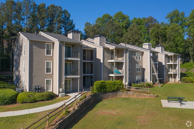
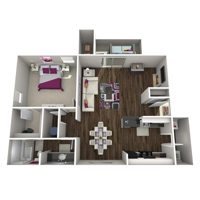
Property Record
1038 S Hairston Rd, Stone Mountain, GA 30088
NEARBY LISTINGS FOR SALE OR LEASE
Property Detail
1038 S Hairston Rd
Atlanta-Sandy Springs-Roswell, GA
Hra Ltd
15-225-02-012
10 X 255 X 10 X 85 X 70 X 120 X 70 X 185 X 185 X 166 X 162 195 X 239 X 594 X 380 X 393 X 150 X 55 X 148 X 298 X 116 X 112 X
Governmentalpublicusegeneral
DeKalb
AE
Georgia
13089C0089J
2
2025
14.87 AC
2025
Stone Mountain
023217
Atlanta
175,082 SF
DEMOGRAPHICS near 1038 S Hairston Rd
1 Mile
3 Mile
5 Mile
2024 Total Population
11,934
89,193
244,368
2029 Population
11,768
88,513
243,520
Pop Growth 2024-2029
(1.39%)
(0.76%)
(0.35%)
Average Age
38
39
38
2024 Total Households
4,397
32,464
90,978
HH Growth 2024-2029
(1.57%)
(0.77%)
(0.28%)
Median Household Inc
$45,488
$54,169
$56,035
Avg Household Size
2.60
2.70
2.60
2024 Avg HH Vehicles
2.00
2.00
2.00
Median Home Value
$172,919
$187,345
$206,527
Median Year Built
1977
1979
1980
Nearby Places
Map Layers
Map Styles
 Street
 Aerial
- Restaurants
- Banks
- Shops
- Fitness
- Groceries
PUBLIC TRANSPORTATION
AIRPORT
Hartsfield - Jackson Atlanta International
DRIVE
WALK
Distance
Hartsfield - Jackson Atlanta International
31 min
20.0 mi
Freight Ports
Georgia Ports - Savannah
DRIVE
WALK
Distance
Georgia Ports - Savannah
284 min
251.8 mi
Nearby Properties
Address
Land Use
TOTAL SIZE
Lot Size
Zoning
Address
Land Use
TOTAL SIZE
Lot Size
Zoning
988,394 SF
102.84 AC
RM100
Address
Land Use
TOTAL SIZE
Lot Size
Zoning
287,674 SF
17.63 AC
R75: SF RE
Address
Land Use
TOTAL SIZE
Lot Size
Zoning
295,718 SF
25.64 AC
RM85
Address
Land Use
TOTAL SIZE
Lot Size
Zoning
224,812 SF
19.29 AC
RM75
Address
Land Use
TOTAL SIZE
Lot Size
Zoning
251,327 SF
19.92 AC
X
Address
Land Use
TOTAL SIZE
Lot Size
Zoning
446,287 SF
31 AC
RM100
Address
Land Use
TOTAL SIZE
Lot Size
Zoning
71,208 SF
15 AC
X
Address
Land Use
TOTAL SIZE
Lot Size
Zoning
312,258 SF
24.80 AC
X
Address
Land Use
TOTAL SIZE
Lot Size
Zoning
292,395 SF
19.65 AC
RM100
Address
Land Use
TOTAL SIZE
Lot Size
Zoning
384,545 SF
35.93 AC
RM100
Address
Land Use
TOTAL SIZE
Lot Size
Zoning
158,939 SF
14.09 AC
RM85
Address
Land Use
TOTAL SIZE
Lot Size
Zoning
285,494 SF
19.35 AC
Address
Land Use
TOTAL SIZE
Lot Size
Zoning
495,922 SF
30.90 AC
RM100
Address
Land Use
TOTAL SIZE
Lot Size
Zoning
249,668 SF
16.76 AC
RM100
Address
Land Use
TOTAL SIZE
Lot Size
Zoning
244,898 SF
15 AC
RM85
Address
Land Use
TOTAL SIZE
Lot Size
Zoning
23,072 SF
5.48 AC
C1
Address
Land Use
TOTAL SIZE
Lot Size
Zoning
118,371 SF
15 AC
R75
Address
Land Use
TOTAL SIZE
Lot Size
Zoning
34,138 SF
10.97 AC
MR1
Address
Land Use
TOTAL SIZE
Lot Size
Zoning
277,816 SF
18.15 AC
RM100
Address
Land Use
TOTAL SIZE
Lot Size
Zoning
182,405 SF
20.85 AC
C1
Address
Land Use
TOTAL SIZE
Lot Size
Zoning
210,070 SF
14.81 AC
RM100
Address
Land Use
TOTAL SIZE
Lot Size
Zoning
174,655 SF
14.12 AC
X
Address
Land Use
TOTAL SIZE
Lot Size
Zoning
83,910 SF
10.90 AC
RCH
Address
Land Use
TOTAL SIZE
Lot Size
Zoning
152,302 SF
14.10 AC
C-1
Address
Land Use
TOTAL SIZE
Lot Size
Zoning
137,574 SF
10.40 AC
RM100
Address
Land Use
TOTAL SIZE
Lot Size
Zoning
96,556 SF
11.67 AC
X
Address
Land Use
TOTAL SIZE
Lot Size
Zoning
128,149 SF
10.86 AC
RM100
Address
Land Use
TOTAL SIZE
Lot Size
Zoning
140,120 SF
15 AC
OD
Address
Land Use
TOTAL SIZE
Lot Size
Zoning
85,706 SF
7.20 AC
X
The World's #1 Commercial Real Estate Marketplace
Connect with us
© 2025 CoStar Group
The information above has been obtained from sources believed reliable. While we do not doubt its accuracy we have not verified it and make no guarantee, warranty or representation about it. It is your responsibility to independently confirm its accuracy and completeness. Any projections, opinions, assumptions, or estimates used are for example only and do not represent the current or future performance of the property. The value of this transaction to you depends on tax and other factors which should be evaluated by your tax, financial, and legal advisors. You and your advisors should conduct a careful, independent investigation of the property to determine to your satisfaction the suitability of the property for your needs.