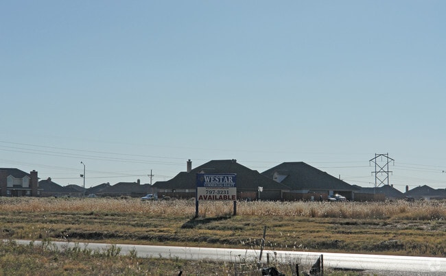
Property Record
103Rd St, Lubbock, TX 79424

Property Detail
103Rd St
Lubbock, TX
LAKERIDGE ESTATES TRS A B C1 & D THRU F
R317555
LUBBOCK
Residentialacreage
Texas
B and X Area of moderate flood hazard, usually the area between the limits of the 100-year and 500-year floods.
a
2025
1.17 AC
2025
South Outer Lubbock
010411
Lubbock
NEARBY LISTINGS FOR SALE OR LEASE
DEMOGRAPHICS near 103Rd St
1 mile
3 mile
5 mile
2025 Total Population
9,972
80,136
169,151
2030 Population
10,428
83,687
176,925
Pop Growth 2025-2030
+ 4.57%
+ 4.43%
+ 4.60%
Average Age
43
39
37
2025 Total Households
3,982
32,382
67,191
HH Growth 2025-2030
+ 4.75%
+ 4.56%
+ 4.76%
Median Household Inc
$122,414
$84,806
$69,123
Avg Household Size
2.50
2.40
2.50
2025 Avg HH Vehicles
2.00
2.00
2.00
Median Home Value
$358,737
$268,298
$238,988
Median Year Built
2001
1991
1986
Nearby Places
Map Layers
Map Styles
 Street
 Aerial
Transit
 Traffic
 Biking
Places
Listings with unknown addresses are not visible on the map
- Restaurants
- Banks
- Shops
- Fitness
- Groceries
PUBLIC TRANSPORTATION
AIRPORT
Lubbock Preston Smith International
Drive
Walk
Distance
Lubbock Preston Smith International
33 min
20.2 mi
Freight Ports
Tulsa Port Of Catoosa
Drive
Walk
Distance
Tulsa Port Of Catoosa
516 min
477.5 mi
Nearby Properties
Address
Land Use
TOTAL SIZE
Lot Size
Zoning
Address
Land Use
TOTAL SIZE
Lot Size
Zoning
791,096 SF
63.76 AC
Address
Land Use
TOTAL SIZE
Lot Size
Zoning
329,448 SF
13.27 AC
Address
Land Use
TOTAL SIZE
Lot Size
Zoning
418,925 SF
37.22 AC
Address
Land Use
TOTAL SIZE
Lot Size
Zoning
137,860 SF
13.89 AC
Address
Land Use
TOTAL SIZE
Lot Size
Zoning
189,540 SF
20.95 AC
Address
Land Use
TOTAL SIZE
Lot Size
Zoning
187,545 SF
11.27 AC
Address
Land Use
TOTAL SIZE
Lot Size
Zoning
138,202 SF
11.33 AC
Address
Land Use
TOTAL SIZE
Lot Size
Zoning
172,263 SF
11.01 AC
Address
Land Use
TOTAL SIZE
Lot Size
Zoning
167,208 SF
10.09 AC
Address
Land Use
TOTAL SIZE
Lot Size
Zoning
169,139 SF
12.07 AC
Address
Land Use
TOTAL SIZE
Lot Size
Zoning
172,627 SF
8.12 AC
Address
Land Use
TOTAL SIZE
Lot Size
Zoning
199,854 SF
19.21 AC
Address
Land Use
TOTAL SIZE
Lot Size
Zoning
220,236 SF
13.42 AC
Address
Land Use
TOTAL SIZE
Lot Size
Zoning
198,209 SF
9.98 AC
Address
Land Use
TOTAL SIZE
Lot Size
Zoning
60,258 SF
8.99 AC
Address
Land Use
TOTAL SIZE
Lot Size
Zoning
49,538 SF
3.65 AC
Address
Land Use
TOTAL SIZE
Lot Size
Zoning
65,582 SF
3.74 AC
Address
Land Use
TOTAL SIZE
Lot Size
Zoning
57,897 SF
4.24 AC
Address
Land Use
TOTAL SIZE
Lot Size
Zoning
75,080 SF
0.04 AC
Address
Land Use
TOTAL SIZE
Lot Size
Zoning
63,341 SF
9.31 AC
Address
Land Use
TOTAL SIZE
Lot Size
Zoning
177,154 SF
8.79 AC
Address
Land Use
TOTAL SIZE
Lot Size
Zoning
83,300 SF
2.07 AC
Address
Land Use
TOTAL SIZE
Lot Size
Zoning
175,958 SF
8.13 AC
Address
Land Use
TOTAL SIZE
Lot Size
Zoning
125,017 SF
6.95 AC
Address
Land Use
TOTAL SIZE
Lot Size
Zoning
66,804 SF
8.24 AC
Address
Land Use
TOTAL SIZE
Lot Size
Zoning
65,798 SF
4.11 AC
Address
Land Use
TOTAL SIZE
Lot Size
Zoning
65,986 SF
7.72 AC
Address
Land Use
TOTAL SIZE
Lot Size
Zoning
38,414 SF
3.33 AC
Address
Land Use
TOTAL SIZE
Lot Size
Zoning
95,000 SF
12.33 AC
Address
Land Use
TOTAL SIZE
Lot Size
Zoning
247,475 SF
53 AC
The World's #1 Commercial Real Estate Marketplace
Connect with us
© 2026 CoStar Group
The information above has been obtained from sources believed reliable. While we do not doubt its accuracy we have not verified it and make no guarantee, warranty or representation about it. It is your responsibility to independently confirm its accuracy and completeness. Any projections, opinions, assumptions, or estimates used are for example only and do not represent the current or future performance of the property. The value of this transaction to you depends on tax and other factors which should be evaluated by your tax, financial, and legal advisors. You and your advisors should conduct a careful, independent investigation of the property to determine to your satisfaction the suitability of the property for your needs.