Property Record
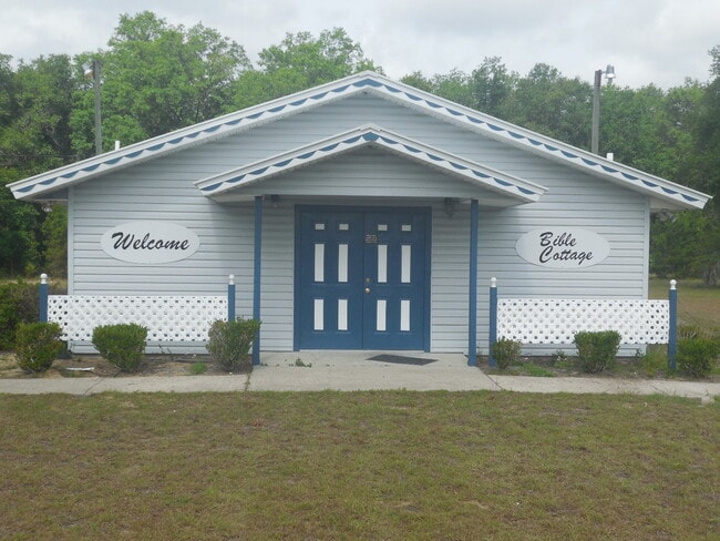
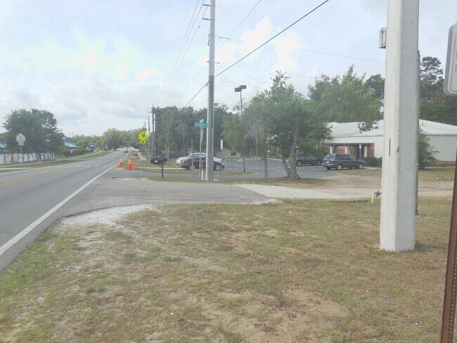
104 N Orange St, Interlachen, FL 32148

Property Detail
104 N Orange St
Palatka, FL
WILLIAM B AVERYS AKA LEAMYS MB1 P39 BLK 4 LOTS 23 24 13 14 BLK 5 LOTS 15 16 21 22 BLK 6 LOTS 17 19 20 + PT OF CLOSED SYRACUSE AVE + OR1762 P715 PT OF CLOSED LEAMY + PRESCOTT AVE
10-10-24-0150-0040-0230
Putnam
Religious
Florida
B and X Area of moderate flood hazard, usually the area between the limits of the 100-year and 500-year floods.
23
2025
11.63 AC
2025
Florida Central North Area
950300
Other Market Areas
1,508 SF
NEARBY LISTINGS FOR SALE OR LEASE
-
-
View all Interlachen listings for sale on LoopNet.com
DEMOGRAPHICS near 104 N Orange St
1 mile
3 mile
5 mile
2025 Total Population
1,080
8,748
12,532
2030 Population
1,134
9,235
13,265
Pop Growth 2025-2030
+ 5.00%
+ 5.57%
+ 5.85%
Average Age
44
44
44
2025 Total Households
438
3,550
5,043
HH Growth 2025-2030
+ 5.25%
+ 5.83%
+ 6.09%
Median Household Inc
$50,122
$48,813
$49,462
Avg Household Size
2.50
2.40
2.50
2025 Avg HH Vehicles
2.00
2.00
2.00
Median Home Value
$91,944
$99,281
$101,354
Median Year Built
1990
1988
1989
Nearby Places
Map Layers
Map Styles
 Street
 Aerial
Layers
 Traffic
 Biking
Places
Listings with unknown addresses are not visible on the map
- Restaurants
- Banks
- Shops
- Fitness
- Groceries
PUBLIC TRANSPORTATION
AIRPORT
Gainesville Regional
Drive
Walk
Distance
Gainesville Regional
45 min
32.0 mi
Freight Ports
Jacksonville Port
Drive
Walk
Distance
Jacksonville Port
103 min
65.3 mi
SALE & LEASE HISTORY
LISTING DATE
SALE/LEASE

May 06, 2022
For Sale
Nearby Properties
Address
Land Use
TOTAL SIZE
Lot Size
Zoning
Address
Land Use
TOTAL SIZE
Lot Size
Zoning
4,864 SF
39.09 AC
Address
Land Use
TOTAL SIZE
Lot Size
Zoning
97,000 SF
19.64 AC
Address
Land Use
TOTAL SIZE
Lot Size
Zoning
499.30 AC
Address
Land Use
TOTAL SIZE
Lot Size
Zoning
53,086 SF
11.05 AC
Address
Land Use
TOTAL SIZE
Lot Size
Zoning
23,138 SF
7.80 AC
Address
Land Use
TOTAL SIZE
Lot Size
Zoning
11,918 SF
3.91 AC
Address
Land Use
TOTAL SIZE
Lot Size
Zoning
11,683 SF
1.24 AC
Address
Land Use
TOTAL SIZE
Lot Size
Zoning
3.84 AC
Address
Land Use
TOTAL SIZE
Lot Size
Zoning
3,774 SF
7.02 AC
Address
Land Use
TOTAL SIZE
Lot Size
Zoning
3,504 SF
1.28 AC
Address
Land Use
TOTAL SIZE
Lot Size
Zoning
11,864 SF
3 AC
Address
Land Use
TOTAL SIZE
Lot Size
Zoning
14,306 SF
7.13 AC
Address
Land Use
TOTAL SIZE
Lot Size
Zoning
2,330 SF
1.91 AC
Address
Land Use
TOTAL SIZE
Lot Size
Zoning
9,000 SF
1.64 AC
Address
Land Use
TOTAL SIZE
Lot Size
Zoning
3,478 SF
6.87 AC
Address
Land Use
TOTAL SIZE
Lot Size
Zoning
Address
Land Use
TOTAL SIZE
Lot Size
Zoning
Address
Land Use
TOTAL SIZE
Lot Size
Zoning
756 SF
1.35 AC
Address
Land Use
TOTAL SIZE
Lot Size
Zoning
1,452 SF
2.89 AC
Address
Land Use
TOTAL SIZE
Lot Size
Zoning
8,640 SF
2.72 AC
Address
Land Use
TOTAL SIZE
Lot Size
Zoning
7,200 SF
24.47 AC
Address
Land Use
TOTAL SIZE
Lot Size
Zoning
11,037 SF
2.72 AC
Address
Land Use
TOTAL SIZE
Lot Size
Zoning
6,336 SF
0.62 AC
Address
Land Use
TOTAL SIZE
Lot Size
Zoning
6,708 SF
1.06 AC
Address
Land Use
TOTAL SIZE
Lot Size
Zoning
3,304 SF
3.90 AC
Address
Land Use
TOTAL SIZE
Lot Size
Zoning
7,790 SF
4.14 AC
Address
Land Use
TOTAL SIZE
Lot Size
Zoning
2,100 SF
3.95 AC
Address
Land Use
TOTAL SIZE
Lot Size
Zoning
1,712 SF
0.99 AC
Address
Land Use
TOTAL SIZE
Lot Size
Zoning
307.36 AC
Address
Land Use
TOTAL SIZE
Lot Size
Zoning
992 SF
26.78 AC
The World's #1 Commercial Real Estate Marketplace
Connect with us
© 2026 CoStar Group
The information above has been obtained from sources believed reliable. While we do not doubt its accuracy we have not verified it and make no guarantee, warranty or representation about it. It is your responsibility to independently confirm its accuracy and completeness. Any projections, opinions, assumptions, or estimates used are for example only and do not represent the current or future performance of the property. The value of this transaction to you depends on tax and other factors which should be evaluated by your tax, financial, and legal advisors. You and your advisors should conduct a careful, independent investigation of the property to determine to your satisfaction the suitability of the property for your needs.