Property Record
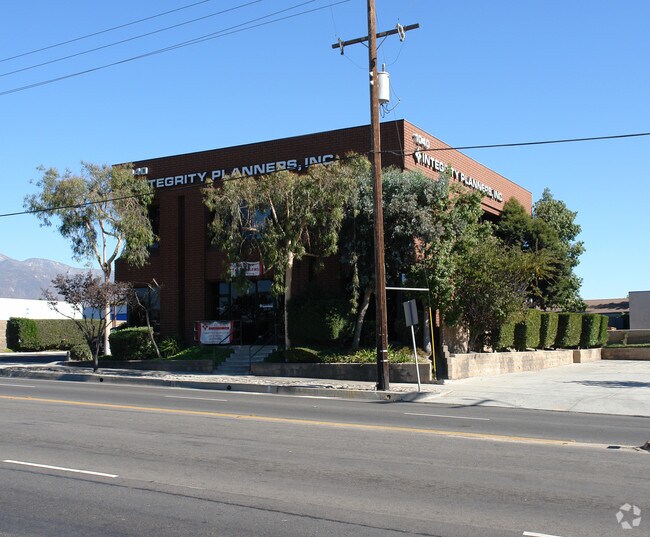
1040 N Benson Ave, Upland, CA 91786


Property Detail
1040 N Benson Ave
1006-532-07
PARCEL MAP 4829 PARCEL 3
Officecondo
San Bernardino
B and X Area of moderate flood hazard, usually the area between the limits of the 100-year and 500-year floods.
California
2025
0.35 AC
2025
Upland/Montclair
000817
Inland Empire (California)
5,152 SF
Riverside-San Bernardino-Ontario, CA
NEARBY LISTINGS FOR SALE OR LEASE
DEMOGRAPHICS near 1040 N Benson Ave
1 mile
3 mile
5 mile
2025 Total Population
16,101
151,841
384,415
2030 Population
16,228
152,607
385,373
Pop Growth 2025-2030
+ 0.79%
+ 0.50%
+ 0.25%
Average Age
37
39
39
2025 Total Households
6,016
49,714
120,526
HH Growth 2025-2030
+ 0.90%
+ 0.51%
+ 0.25%
Median Household Inc
$89,762
$99,965
$94,092
Avg Household Size
2.60
2.90
3.00
2025 Avg HH Vehicles
2.00
2.00
2.00
Median Home Value
$676,208
$740,908
$714,329
Median Year Built
1978
1971
1973
Nearby Places
Map Layers
Map Styles
 Street
 Aerial
Layers
 Traffic
 Biking
Places
Listings with unknown addresses are not visible on the map
- Restaurants
- Banks
- Shops
- Fitness
- Groceries
PUBLIC TRANSPORTATION
COMMUTER RAIL
Montclair (San Bernardino Line - Southern California Regional Rail Authority (Metrolink))
Drive
Walk
Distance
Montclair (San Bernardino Line - Southern California Regional Rail Authority (Metrolink))
4 min
2.1 mi
Upland (San Bernardino Line - Southern California Regional Rail Authority (Metrolink))
Drive
Walk
Distance
Upland (San Bernardino Line - Southern California Regional Rail Authority (Metrolink))
5 min
2.8 mi
AIRPORT
Ontario International
Drive
Walk
Distance
Ontario International
12 min
7.2 mi
Freight Ports
Port of Long Beach
Drive
Walk
Distance
Port of Long Beach
63 min
49.6 mi
SALE & LEASE HISTORY
LISTING DATE
SALE/LEASE

Oct 25, 2023
For Lease
Mar 01, 2021
For Lease
Jul 25, 2022
For Lease
Jan 23, 2025
For Lease
Feb 06, 2018
For Lease
Aug 31, 2018
For Lease
Apr 13, 2021
For Lease
Nearby Properties
Address
Land Use
TOTAL SIZE
Lot Size
Zoning
Address
Land Use
TOTAL SIZE
Lot Size
Zoning
376,610 SF
25.22 AC
Address
Land Use
TOTAL SIZE
Lot Size
Zoning
788,560 SF
36.86 AC
Address
Land Use
TOTAL SIZE
Lot Size
Zoning
672,929 SF
90.10 AC
CLE*
Address
Land Use
TOTAL SIZE
Lot Size
Zoning
167,013 SF
30.60 AC
CLE*
Address
Land Use
TOTAL SIZE
Lot Size
Zoning
43,129 SF
21.20 AC
CLE*
Address
Land Use
TOTAL SIZE
Lot Size
Zoning
134,182 SF
1.56 AC
CLE*
Address
Land Use
TOTAL SIZE
Lot Size
Zoning
167,512 SF
8.35 AC
Address
Land Use
TOTAL SIZE
Lot Size
Zoning
296,080 SF
14.57 AC
CLRM2000*
Address
Land Use
TOTAL SIZE
Lot Size
Zoning
224,998 SF
2.61 AC
CLI*
Address
Land Use
TOTAL SIZE
Lot Size
Zoning
120,943 SF
CLE*
Address
Land Use
TOTAL SIZE
Lot Size
Zoning
250,772 SF
23.93 AC
CLE*
Address
Land Use
TOTAL SIZE
Lot Size
Zoning
538,944 SF
20.73 AC
Address
Land Use
TOTAL SIZE
Lot Size
Zoning
125,663 SF
7.04 AC
Address
Land Use
TOTAL SIZE
Lot Size
Zoning
218,376 SF
12.50 AC
Address
Land Use
TOTAL SIZE
Lot Size
Zoning
249,672 SF
13.80 AC
Address
Land Use
TOTAL SIZE
Lot Size
Zoning
1.86 AC
Address
Land Use
TOTAL SIZE
Lot Size
Zoning
99,508 SF
16.74 AC
CLE*
Address
Land Use
TOTAL SIZE
Lot Size
Zoning
175,000 SF
15.24 AC
Address
Land Use
TOTAL SIZE
Lot Size
Zoning
180,868 SF
8.24 AC
Address
Land Use
TOTAL SIZE
Lot Size
Zoning
119,109 SF
10.39 AC
CLE*
Address
Land Use
TOTAL SIZE
Lot Size
Zoning
108,751 SF
16.41 AC
CLCP*
Address
Land Use
TOTAL SIZE
Lot Size
Zoning
178,472 SF
2.85 AC
CLE*
Address
Land Use
TOTAL SIZE
Lot Size
Zoning
73,190 SF
5.43 AC
Address
Land Use
TOTAL SIZE
Lot Size
Zoning
110,969 SF
3.06 AC
CLE*
Address
Land Use
TOTAL SIZE
Lot Size
Zoning
94,742 SF
4.91 AC
CLCP-E*
Address
Land Use
TOTAL SIZE
Lot Size
Zoning
129,480 SF
6.39 AC
Address
Land Use
TOTAL SIZE
Lot Size
Zoning
112,960 SF
6.30 AC
Address
Land Use
TOTAL SIZE
Lot Size
Zoning
203,092 SF
10 AC
Address
Land Use
TOTAL SIZE
Lot Size
Zoning
455,226 SF
18.15 AC
Address
Land Use
TOTAL SIZE
Lot Size
Zoning
240,226 SF
10.10 AC
The World's #1 Commercial Real Estate Marketplace
Connect with us
© 2026 CoStar Group
The information above has been obtained from sources believed reliable. While we do not doubt its accuracy we have not verified it and make no guarantee, warranty or representation about it. It is your responsibility to independently confirm its accuracy and completeness. Any projections, opinions, assumptions, or estimates used are for example only and do not represent the current or future performance of the property. The value of this transaction to you depends on tax and other factors which should be evaluated by your tax, financial, and legal advisors. You and your advisors should conduct a careful, independent investigation of the property to determine to your satisfaction the suitability of the property for your needs.