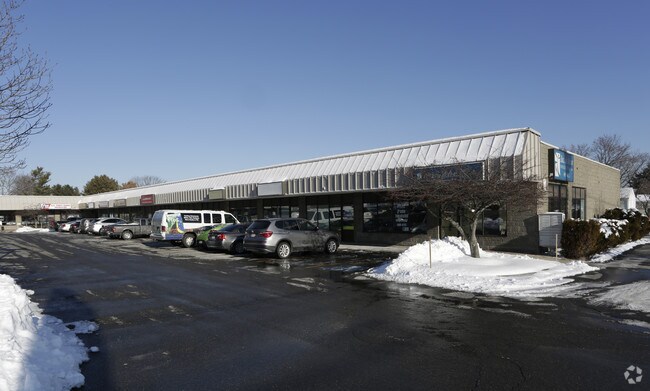
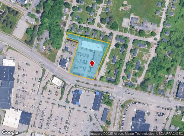
Property Record
1041 Brighton Ave, Portland, ME 04102
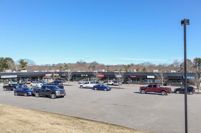
NEARBY LISTINGS FOR SALE OR LEASE
Property Detail
1041 Brighton Ave
PTLD-000274-000000-D001001
Thomas Toye Iii
Commercialnec
Cumberland
X
Maine
23005C0687F
2.31 AC
2024
SW Cumberland County
2024
Portland/South Portland
002001
Portland-South Portland, ME
24,150 SF
DEMOGRAPHICS near 1041 Brighton Ave
1 Mile
3 Mile
5 Mile
2024 Total Population
5,121
59,014
115,641
2029 Population
5,270
60,714
119,276
Pop Growth 2024-2029
+ 2.91%
+ 2.88%
+ 3.14%
Average Age
44
41
41
2024 Total Households
2,156
25,945
52,856
HH Growth 2024-2029
+ 2.92%
+ 2.97%
+ 3.27%
Median Household Inc
$68,509
$70,899
$71,136
Avg Household Size
2.20
2.20
2.10
2024 Avg HH Vehicles
2.00
2.00
2.00
Median Home Value
$327,032
$356,694
$377,096
Median Year Built
1957
1956
1957
Nearby Places
Map Layers
Map Styles
 Street
 Aerial
- Restaurants
- Banks
- Shops
- Fitness
- Groceries
PUBLIC TRANSPORTATION
COMMUTER RAIL
Portland (Downeaster - Amtrak)
DRIVE
WALK
Distance
Portland (Downeaster - Amtrak)
6 min
2.9 mi
AIRPORT
Portland International Jetport
DRIVE
WALK
Distance
Portland International Jetport
9 min
3.5 mi
Freight Ports
Portland, ME
DRIVE
WALK
Distance
Portland, ME
9 min
4.8 mi
SALE & LEASE HISTORY
LISTING DATE
SALE/LEASE

May 22, 2020
For Lease
Mar 24, 2017
For Sale
Mar 22, 2024
For Lease
Mar 22, 2024
For Sale
Mar 14, 2022
For Lease
Mar 08, 2021
For Lease
Jan 15, 2025
For Lease
Feb 07, 2018
For Lease
Apr 11, 2017
For Lease
Apr 11, 2017
For Sale
Nearby Properties
Address
Land Use
TOTAL SIZE
Lot Size
Zoning
Address
Land Use
TOTAL SIZE
Lot Size
Zoning
86.50 AC
Address
Land Use
TOTAL SIZE
Lot Size
Zoning
212.57 AC
Address
Land Use
TOTAL SIZE
Lot Size
Zoning
84,636 SF
31.70 AC
22
Address
Land Use
TOTAL SIZE
Lot Size
Zoning
408.26 AC
Address
Land Use
TOTAL SIZE
Lot Size
Zoning
45.50 AC
Address
Land Use
TOTAL SIZE
Lot Size
Zoning
8.11 AC
Address
Land Use
TOTAL SIZE
Lot Size
Zoning
12.51 AC
Address
Land Use
TOTAL SIZE
Lot Size
Zoning
732,640 SF
Address
Land Use
TOTAL SIZE
Lot Size
Zoning
20.35 AC
Address
Land Use
TOTAL SIZE
Lot Size
Zoning
133,492 SF
27.60 AC
Address
Land Use
TOTAL SIZE
Lot Size
Zoning
53.27 AC
22
Address
Land Use
TOTAL SIZE
Lot Size
Zoning
20.61 AC
TIFD
Address
Land Use
TOTAL SIZE
Lot Size
Zoning
176,100 SF
9.71 AC
Z
Address
Land Use
TOTAL SIZE
Lot Size
Zoning
26,584 SF
2.79 AC
Address
Land Use
TOTAL SIZE
Lot Size
Zoning
285,570 SF
1.37 AC
Address
Land Use
TOTAL SIZE
Lot Size
Zoning
135,968 SF
7.02 AC
Address
Land Use
TOTAL SIZE
Lot Size
Zoning
115,965 SF
6.27 AC
Z
Address
Land Use
TOTAL SIZE
Lot Size
Zoning
25.12 AC
Address
Land Use
TOTAL SIZE
Lot Size
Zoning
217 SF
8.65 AC
Address
Land Use
TOTAL SIZE
Lot Size
Zoning
173,617 SF
15.28 AC
Address
Land Use
TOTAL SIZE
Lot Size
Zoning
125,719 SF
18.79 AC
Address
Land Use
TOTAL SIZE
Lot Size
Zoning
20.33 AC
Z
Address
Land Use
TOTAL SIZE
Lot Size
Zoning
139,588 SF
0.85 AC
16
Address
Land Use
TOTAL SIZE
Lot Size
Zoning
78,396 SF
8.60 AC
Address
Land Use
TOTAL SIZE
Lot Size
Zoning
17.95 AC
11
Address
Land Use
TOTAL SIZE
Lot Size
Zoning
8.62 AC
Z
Address
Land Use
TOTAL SIZE
Lot Size
Zoning
19.08 AC
Address
Land Use
TOTAL SIZE
Lot Size
Zoning
152,378 SF
29.34 AC
21
Address
Land Use
TOTAL SIZE
Lot Size
Zoning
6.37 AC
BKH
Address
Land Use
TOTAL SIZE
Lot Size
Zoning
14.51 AC
Z
The World's #1 Commercial Real Estate Marketplace
Connect with us
© 2025 CoStar Group
The information above has been obtained from sources believed reliable. While we do not doubt its accuracy we have not verified it and make no guarantee, warranty or representation about it. It is your responsibility to independently confirm its accuracy and completeness. Any projections, opinions, assumptions, or estimates used are for example only and do not represent the current or future performance of the property. The value of this transaction to you depends on tax and other factors which should be evaluated by your tax, financial, and legal advisors. You and your advisors should conduct a careful, independent investigation of the property to determine to your satisfaction the suitability of the property for your needs.