Property Record
1043 Hunley Sullivans Rd, Awendaw, SC 29429

NEARBY LISTINGS FOR SALE OR LEASE
-
-
View all Awendaw listings for sale on LoopNet.com
Property Detail
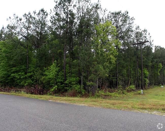
1043 Hunley Sullivans Rd
Charleston-North Charleston, SC
Sixteen Miles House Tract
629-00-00-303
MAPPLATB S19 MAPPLATP 0143 SUBDIVISIONNAME HUNLEY SULLIVANS INDUSTRIAL PARK LOT 1B
Commercialnec
Charleston
X
South Carolina
45019C0355K
1b
2025
2.14 AC
2024
E Charleston County
005002
Charleston/N Charleston
DEMOGRAPHICS near 1043 Hunley Sullivans Rd
1 Mile
3 Mile
5 Mile
2024 Total Population
248
947
6,629
2029 Population
276
1,044
7,236
Pop Growth 2024-2029
+ 11.29%
+ 10.24%
+ 9.16%
Average Age
46
45
42
2024 Total Households
97
365
2,367
HH Growth 2024-2029
+ 11.34%
+ 10.14%
+ 9.17%
Median Household Inc
$59,721
$65,593
$103,709
Avg Household Size
2.50
2.60
2.80
2024 Avg HH Vehicles
2.00
2.00
2.00
Median Home Value
$523,809
$503,247
$540,650
Median Year Built
2004
2003
2009
Nearby Places
Map Layers
Map Styles
 Street
 Aerial
- Restaurants
- Banks
- Shops
- Fitness
- Groceries
PUBLIC TRANSPORTATION
AIRPORT
Charleston AFB/International
DRIVE
WALK
Distance
Charleston AFB/International
44 min
30.6 mi
Freight Ports
Wando Welch Terminal
DRIVE
WALK
Distance
Wando Welch Terminal
22 min
15.3 mi
Nearby Properties
Address
Land Use
TOTAL SIZE
Lot Size
Zoning
Address
Land Use
TOTAL SIZE
Lot Size
Zoning
1,140.98 AC
Address
Land Use
TOTAL SIZE
Lot Size
Zoning
355.34 AC
Address
Land Use
TOTAL SIZE
Lot Size
Zoning
6,250 SF
1.64 AC
Address
Land Use
TOTAL SIZE
Lot Size
Zoning
6,300 SF
360.79 AC
Address
Land Use
TOTAL SIZE
Lot Size
Zoning
18,730 SF
3.58 AC
Address
Land Use
TOTAL SIZE
Lot Size
Zoning
61.13 AC
Address
Land Use
TOTAL SIZE
Lot Size
Zoning
11.99 AC
Address
Land Use
TOTAL SIZE
Lot Size
Zoning
10,282 SF
1.96 AC
Address
Land Use
TOTAL SIZE
Lot Size
Zoning
9,152 SF
1.14 AC
Address
Land Use
TOTAL SIZE
Lot Size
Zoning
1,530 SF
2.91 AC
Address
Land Use
TOTAL SIZE
Lot Size
Zoning
28.17 AC
Address
Land Use
TOTAL SIZE
Lot Size
Zoning
0.99 AC
Address
Land Use
TOTAL SIZE
Lot Size
Zoning
2,624 SF
8.22 AC
Address
Land Use
TOTAL SIZE
Lot Size
Zoning
2,856 SF
4.01 AC
Address
Land Use
TOTAL SIZE
Lot Size
Zoning
1.34 AC
Address
Land Use
TOTAL SIZE
Lot Size
Zoning
3.93 AC
Address
Land Use
TOTAL SIZE
Lot Size
Zoning
116.80 AC
Address
Land Use
TOTAL SIZE
Lot Size
Zoning
7.74 AC
Address
Land Use
TOTAL SIZE
Lot Size
Zoning
2,103 SF
2.83 AC
Address
Land Use
TOTAL SIZE
Lot Size
Zoning
2.48 AC
Address
Land Use
TOTAL SIZE
Lot Size
Zoning
3.67 AC
Address
Land Use
TOTAL SIZE
Lot Size
Zoning
1.63 AC
Address
Land Use
TOTAL SIZE
Lot Size
Zoning
4.76 AC
Address
Land Use
TOTAL SIZE
Lot Size
Zoning
9.89 AC
Address
Land Use
TOTAL SIZE
Lot Size
Zoning
504 SF
4 AC
Address
Land Use
TOTAL SIZE
Lot Size
Zoning
1,568 SF
4.97 AC
Address
Land Use
TOTAL SIZE
Lot Size
Zoning
3.63 AC
Address
Land Use
TOTAL SIZE
Lot Size
Zoning
10.45 AC
Address
Land Use
TOTAL SIZE
Lot Size
Zoning
3.63 AC
The World's #1 Commercial Real Estate Marketplace
Connect with us
© 2026 CoStar Group
The information above has been obtained from sources believed reliable. While we do not doubt its accuracy we have not verified it and make no guarantee, warranty or representation about it. It is your responsibility to independently confirm its accuracy and completeness. Any projections, opinions, assumptions, or estimates used are for example only and do not represent the current or future performance of the property. The value of this transaction to you depends on tax and other factors which should be evaluated by your tax, financial, and legal advisors. You and your advisors should conduct a careful, independent investigation of the property to determine to your satisfaction the suitability of the property for your needs.