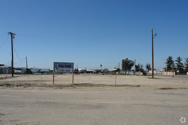
Property Record
1045 Avenue 200, Tulare, CA 93274


NEARBY LISTINGS FOR SALE OR LEASE
Property Detail
1045 Avenue 200
191-260-014-000
PAR 2 PAR MAP 3526 V36 P29 PM
Industrialgeneral
Tulare
AO
California
06107C1264E
5.29 AC
2024
Tulare
2025
Visalia/Porterville
002901
Visalia-Porterville, CA
DEMOGRAPHICS near 1045 Avenue 200
1 Mile
3 Mile
5 Mile
2024 Total Population
868
10,278
60,324
2029 Population
908
10,628
62,423
Pop Growth 2024-2029
+ 4.61%
+ 3.41%
+ 3.48%
Average Age
34
33
34
2024 Total Households
242
3,034
17,678
HH Growth 2024-2029
+ 4.55%
+ 3.36%
+ 3.42%
Median Household Inc
$53,035
$56,491
$58,895
Avg Household Size
3.30
3.30
3.30
2024 Avg HH Vehicles
2.00
2.00
2.00
Median Home Value
$209,259
$273,178
$272,203
Median Year Built
1986
1990
1982
Nearby Places
Map Layers
Map Styles
 Street
 Aerial
- Restaurants
- Banks
- Shops
- Fitness
- Groceries
Nearby Properties
Address
Land Use
TOTAL SIZE
Lot Size
Zoning
Address
Land Use
TOTAL SIZE
Lot Size
Zoning
453,531 SF
40.36 AC
Address
Land Use
TOTAL SIZE
Lot Size
Zoning
297,022 SF
96.88 AC
M-2
Address
Land Use
TOTAL SIZE
Lot Size
Zoning
490,197 SF
27.65 AC
M-2
Address
Land Use
TOTAL SIZE
Lot Size
Zoning
276,459 SF
14.50 AC
M-2
Address
Land Use
TOTAL SIZE
Lot Size
Zoning
47,670 SF
17.92 AC
M-2
Address
Land Use
TOTAL SIZE
Lot Size
Zoning
88,948 SF
81.19 AC
C-4
Address
Land Use
TOTAL SIZE
Lot Size
Zoning
92,093 SF
9.48 AC
M-2
Address
Land Use
TOTAL SIZE
Lot Size
Zoning
136,630 SF
6.35 AC
M2
Address
Land Use
TOTAL SIZE
Lot Size
Zoning
44,237 SF
5.57 AC
M2
Address
Land Use
TOTAL SIZE
Lot Size
Zoning
Address
Land Use
TOTAL SIZE
Lot Size
Zoning
58,152 SF
5.74 AC
C-4
Address
Land Use
TOTAL SIZE
Lot Size
Zoning
67,610 SF
5.12 AC
M-2
Address
Land Use
TOTAL SIZE
Lot Size
Zoning
60,691 SF
12.66 AC
M-1
Address
Land Use
TOTAL SIZE
Lot Size
Zoning
9,600 SF
3.47 AC
M-1
Address
Land Use
TOTAL SIZE
Lot Size
Zoning
3,319 SF
158.46 AC
AE40
Address
Land Use
TOTAL SIZE
Lot Size
Zoning
7,614 SF
157.80 AC
Address
Land Use
TOTAL SIZE
Lot Size
Zoning
128.55 AC
AE40
Address
Land Use
TOTAL SIZE
Lot Size
Zoning
85,106 SF
7.37 AC
Address
Land Use
TOTAL SIZE
Lot Size
Zoning
42.92 AC
M2
Address
Land Use
TOTAL SIZE
Lot Size
Zoning
51,750 SF
5.52 AC
M-1
Address
Land Use
TOTAL SIZE
Lot Size
Zoning
19,851 SF
5.94 AC
M1
Address
Land Use
TOTAL SIZE
Lot Size
Zoning
10.97 AC
C3
Address
Land Use
TOTAL SIZE
Lot Size
Zoning
43,810 SF
8.18 AC
Address
Land Use
TOTAL SIZE
Lot Size
Zoning
80 AC
AE40
Address
Land Use
TOTAL SIZE
Lot Size
Zoning
80 AC
AE40
Address
Land Use
TOTAL SIZE
Lot Size
Zoning
1,800 SF
4.83 AC
M-2
The World's #1 Commercial Real Estate Marketplace
Connect with us
© 2025 CoStar Group
The information above has been obtained from sources believed reliable. While we do not doubt its accuracy we have not verified it and make no guarantee, warranty or representation about it. It is your responsibility to independently confirm its accuracy and completeness. Any projections, opinions, assumptions, or estimates used are for example only and do not represent the current or future performance of the property. The value of this transaction to you depends on tax and other factors which should be evaluated by your tax, financial, and legal advisors. You and your advisors should conduct a careful, independent investigation of the property to determine to your satisfaction the suitability of the property for your needs.