Property Record
10459 Church St, Rancho Cucamonga, CA 91730


NEARBY LISTINGS FOR SALE OR LEASE
-
-
View all Rancho Cucamonga listings for sale on LoopNet.com
Property Detail
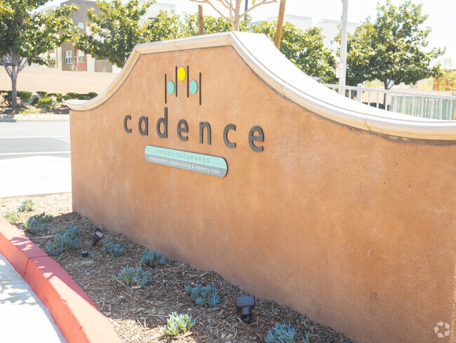
10459 Church St
Riverside-San Bernardino-Ontario, CA
Tract No. 17435
1077-881-13
TRACT 2202 NLY 500 FT LOT 4 LYING S OF SLY LI CHURCH ST EX THAT PTN BEG SW COR OF LAND CONVEYED TO SAN BERNARDINO COUNTY FLOOD CONTROL DIST REC BK 4394 PG 460 TH ALG WLY LI N 0 DEG 32 MIN 05 SECONDS E 239 FT TH ALG LI PERPENDICULAR TO SD WL
Retirementnursinghomecombined
San Bernardino
A
California
06071C8630J
4
2024
3.32 AC
2025
Rancho Cucamonga
002028
Inland Empire (California)
103,037 SF
DEMOGRAPHICS near 10459 Church St
1 Mile
3 Mile
5 Mile
2024 Total Population
25,325
146,779
285,940
2029 Population
25,742
149,051
290,212
Pop Growth 2024-2029
+ 1.65%
+ 1.55%
+ 1.49%
Average Age
37
38
38
2024 Total Households
9,354
51,625
92,447
HH Growth 2024-2029
+ 1.67%
+ 1.60%
+ 1.56%
Median Household Inc
$80,945
$94,521
$95,039
Avg Household Size
2.70
2.80
3.00
2024 Avg HH Vehicles
2.00
2.00
2.00
Median Home Value
$544,687
$624,600
$640,882
Median Year Built
1985
1986
1984
Nearby Places
Map Layers
Map Styles
 Street
 Aerial
- Restaurants
- Banks
- Shops
- Fitness
- Groceries
PUBLIC TRANSPORTATION
COMMUTER RAIL
Rancho Cucamonga (San Bernardino Line - Southern California Regional Rail Authority (Metrolink))
DRIVE
WALK
Distance
Rancho Cucamonga (San Bernardino Line - Southern California Regional Rail Authority (Metrolink))
6 min
2.9 mi
East Ontario (Riverside Line - Southern California Regional Rail Authority (Metrolink))
DRIVE
WALK
Distance
East Ontario (Riverside Line - Southern California Regional Rail Authority (Metrolink))
10 min
5.5 mi
AIRPORT
Ontario International
DRIVE
WALK
Distance
Ontario International
10 min
5.5 mi
John Wayne/Orange County
DRIVE
WALK
Distance
John Wayne/Orange County
58 min
47.4 mi
Nearby Properties
Address
Land Use
TOTAL SIZE
Lot Size
Zoning
Address
Land Use
TOTAL SIZE
Lot Size
Zoning
707,551 SF
20.36 AC
Address
Land Use
TOTAL SIZE
Lot Size
Zoning
502,314 SF
40.06 AC
Address
Land Use
TOTAL SIZE
Lot Size
Zoning
275,783 SF
11.82 AC
Address
Land Use
TOTAL SIZE
Lot Size
Zoning
261,114 SF
11.23 AC
Address
Land Use
TOTAL SIZE
Lot Size
Zoning
293,860 SF
16.10 AC
Address
Land Use
TOTAL SIZE
Lot Size
Zoning
145,111 SF
48.01 AC
Address
Land Use
TOTAL SIZE
Lot Size
Zoning
453,960 SF
18.54 AC
Address
Land Use
TOTAL SIZE
Lot Size
Zoning
591,495 SF
18.29 AC
Address
Land Use
TOTAL SIZE
Lot Size
Zoning
104,537 SF
30.72 AC
Address
Land Use
TOTAL SIZE
Lot Size
Zoning
611,573 SF
26.64 AC
Address
Land Use
TOTAL SIZE
Lot Size
Zoning
87,909 SF
30.12 AC
Address
Land Use
TOTAL SIZE
Lot Size
Zoning
286,732 SF
9.58 AC
Address
Land Use
TOTAL SIZE
Lot Size
Zoning
261,357 SF
10.03 AC
Address
Land Use
TOTAL SIZE
Lot Size
Zoning
314,580 SF
24 AC
Address
Land Use
TOTAL SIZE
Lot Size
Zoning
830,300 SF
39.99 AC
Address
Land Use
TOTAL SIZE
Lot Size
Zoning
190,724 SF
10.69 AC
Address
Land Use
TOTAL SIZE
Lot Size
Zoning
387,965 SF
10.92 AC
Address
Land Use
TOTAL SIZE
Lot Size
Zoning
468,682 SF
19.40 AC
Address
Land Use
TOTAL SIZE
Lot Size
Zoning
174,092 SF
4.42 AC
Address
Land Use
TOTAL SIZE
Lot Size
Zoning
358,375 SF
9.30 AC
Address
Land Use
TOTAL SIZE
Lot Size
Zoning
183,039 SF
8.30 AC
Address
Land Use
TOTAL SIZE
Lot Size
Zoning
246,012 SF
5.97 AC
Address
Land Use
TOTAL SIZE
Lot Size
Zoning
314,559 SF
9.34 AC
Address
Land Use
TOTAL SIZE
Lot Size
Zoning
Address
Land Use
TOTAL SIZE
Lot Size
Zoning
329,030 SF
15.98 AC
Address
Land Use
TOTAL SIZE
Lot Size
Zoning
303,915 SF
11.13 AC
Address
Land Use
TOTAL SIZE
Lot Size
Zoning
125,768 SF
15.90 AC
Address
Land Use
TOTAL SIZE
Lot Size
Zoning
84,378 SF
15.32 AC
Address
Land Use
TOTAL SIZE
Lot Size
Zoning
421,465 SF
18.83 AC
Address
Land Use
TOTAL SIZE
Lot Size
Zoning
401,226 SF
17.62 AC
The World's #1 Commercial Real Estate Marketplace
Connect with us
© 2026 CoStar Group
The information above has been obtained from sources believed reliable. While we do not doubt its accuracy we have not verified it and make no guarantee, warranty or representation about it. It is your responsibility to independently confirm its accuracy and completeness. Any projections, opinions, assumptions, or estimates used are for example only and do not represent the current or future performance of the property. The value of this transaction to you depends on tax and other factors which should be evaluated by your tax, financial, and legal advisors. You and your advisors should conduct a careful, independent investigation of the property to determine to your satisfaction the suitability of the property for your needs.