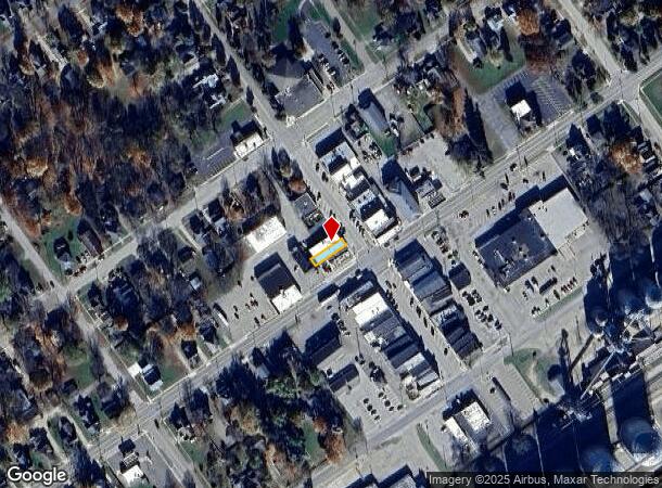
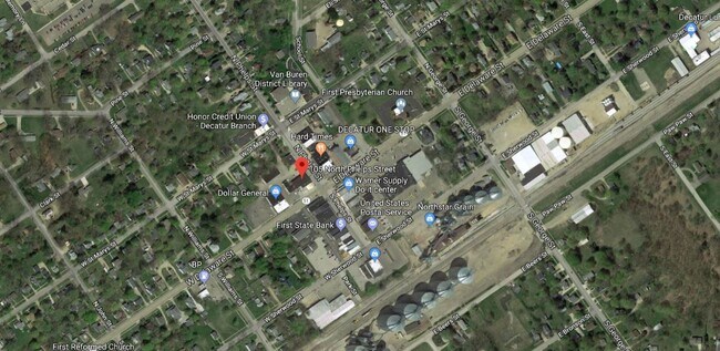
Property Record
105 N Phelps St, Decatur, MI 49045

NEARBY LISTINGS FOR SALE OR LEASE
-
-
View all Decatur listings for sale on LoopNet.com
Property Detail
105 N Phelps St
Kalamazoo-Portage, MI
Original Of Decatur
80-43-040-229-00
643 20-4-14 739-224,225 806-101 1323-116 * BEG ON W L PHELPS ST AT PT 53.5' NWLY FROM SE COR LOT 1, BEING CEN BRICK WALL, TH
Bartavern
Van Buren
X
Michigan
26159C0450C
1
2024
0.05 AC
2025
Van Buren County
011601
West Michigan
3,696 SF
DEMOGRAPHICS near 105 N Phelps St
1 Mile
3 Mile
5 Mile
2024 Total Population
1,996
3,126
5,089
2029 Population
1,967
3,100
5,079
Pop Growth 2024-2029
(1.45%)
(0.83%)
(0.20%)
Average Age
40
41
43
2024 Total Households
795
1,232
2,004
HH Growth 2024-2029
(1.76%)
(1.14%)
(0.45%)
Median Household Inc
$52,754
$54,277
$55,482
Avg Household Size
2.50
2.50
2.50
2024 Avg HH Vehicles
2.00
2.00
2.00
Median Home Value
$122,851
$144,931
$163,547
Median Year Built
1953
1960
1968
Nearby Places
Map Layers
Map Styles
 Street
 Aerial
- Restaurants
- Banks
- Shops
- Fitness
- Groceries
PUBLIC TRANSPORTATION
AIRPORT
Kalamazoo/Battle Creek International
DRIVE
WALK
Distance
Kalamazoo/Battle Creek International
40 min
29.5 mi
Freight Ports
Port Milwaukee
DRIVE
WALK
Distance
Port Milwaukee
255 min
214.8 mi
SALE & LEASE HISTORY
LISTING DATE
SALE/LEASE

Sep 19, 2018
For Sale
May 05, 2022
For Sale
Nearby Properties
Address
Land Use
TOTAL SIZE
Lot Size
Zoning
Address
Land Use
TOTAL SIZE
Lot Size
Zoning
9,284 SF
2.31 AC
Address
Land Use
TOTAL SIZE
Lot Size
Zoning
4,970 SF
269 AC
Address
Land Use
TOTAL SIZE
Lot Size
Zoning
1,680 SF
32.97 AC
C-1
Address
Land Use
TOTAL SIZE
Lot Size
Zoning
4,970 SF
229 AC
Address
Land Use
TOTAL SIZE
Lot Size
Zoning
291.73 AC
AG
Address
Land Use
TOTAL SIZE
Lot Size
Zoning
2,522 SF
189.06 AC
Address
Land Use
TOTAL SIZE
Lot Size
Zoning
11,796 SF
2.12 AC
Address
Land Use
TOTAL SIZE
Lot Size
Zoning
101,880 SF
3.30 AC
Address
Land Use
TOTAL SIZE
Lot Size
Zoning
62,566 SF
20 AC
Address
Land Use
TOTAL SIZE
Lot Size
Zoning
0.88 AC
Address
Land Use
TOTAL SIZE
Lot Size
Zoning
203.94 AC
Address
Land Use
TOTAL SIZE
Lot Size
Zoning
3,233 SF
20.30 AC
C-1
Address
Land Use
TOTAL SIZE
Lot Size
Zoning
218 AC
AG
Address
Land Use
TOTAL SIZE
Lot Size
Zoning
130 AC
Address
Land Use
TOTAL SIZE
Lot Size
Zoning
185.86 AC
AG
Address
Land Use
TOTAL SIZE
Lot Size
Zoning
3,729 SF
75.02 AC
Address
Land Use
TOTAL SIZE
Lot Size
Zoning
53,600 SF
Address
Land Use
TOTAL SIZE
Lot Size
Zoning
152.10 AC
Address
Land Use
TOTAL SIZE
Lot Size
Zoning
80,044 SF
2.67 AC
Address
Land Use
TOTAL SIZE
Lot Size
Zoning
1,638 SF
120 AC
Address
Land Use
TOTAL SIZE
Lot Size
Zoning
148.49 AC
AG
Address
Land Use
TOTAL SIZE
Lot Size
Zoning
2,688 SF
38.84 AC
AG
Address
Land Use
TOTAL SIZE
Lot Size
Zoning
139.58 AC
Address
Land Use
TOTAL SIZE
Lot Size
Zoning
131.52 AC
Address
Land Use
TOTAL SIZE
Lot Size
Zoning
784 SF
100 AC
Address
Land Use
TOTAL SIZE
Lot Size
Zoning
87.42 AC
AG
Address
Land Use
TOTAL SIZE
Lot Size
Zoning
2,295 SF
74 AC
Address
Land Use
TOTAL SIZE
Lot Size
Zoning
120 AC
Address
Land Use
TOTAL SIZE
Lot Size
Zoning
1,575 SF
117.04 AC
AG
Address
Land Use
TOTAL SIZE
Lot Size
Zoning
116.76 AC
AG
The World's #1 Commercial Real Estate Marketplace
Connect with us
© 2025 CoStar Group
The information above has been obtained from sources believed reliable. While we do not doubt its accuracy we have not verified it and make no guarantee, warranty or representation about it. It is your responsibility to independently confirm its accuracy and completeness. Any projections, opinions, assumptions, or estimates used are for example only and do not represent the current or future performance of the property. The value of this transaction to you depends on tax and other factors which should be evaluated by your tax, financial, and legal advisors. You and your advisors should conduct a careful, independent investigation of the property to determine to your satisfaction the suitability of the property for your needs.