Property Record
105 N Service Rd E, Ruston, LA 71270

Property Detail
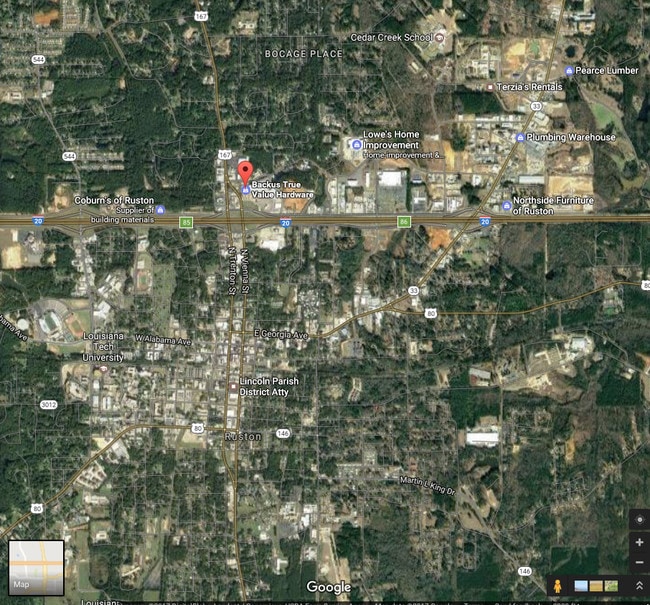
105 N Service Rd E
Ruston, LA
THREE TRACTS LOCATED IN SEC 13-18-3 L/P LA CONTG 1553 AC 1159 AC AND 0247 ACRES (FROM HELEN DBARKSDALE ET AL 259-227) LESS
5443
LINCOLN
Commercialnec
Louisiana
B and X Area of moderate flood hazard, usually the area between the limits of the 100-year and 500-year floods.
1
2025
13.18 AC
2025
Louisiana North Area
960500
Other Market Areas
155,626 SF
NEARBY LISTINGS FOR SALE OR LEASE
DEMOGRAPHICS near 105 N Service Rd E
1 mile
3 mile
5 mile
2025 Total Population
3,554
24,013
33,169
2030 Population
3,527
23,942
33,146
Pop Growth 2025-2030
(0.76%)
(0.30%)
(0.07%)
Average Age
35
34
35
2025 Total Households
1,614
9,191
12,486
HH Growth 2025-2030
(0.68%)
(0.27%)
(0.06%)
Median Household Inc
$46,309
$34,705
$35,309
Avg Household Size
2.20
2.30
2.30
2025 Avg HH Vehicles
2.00
2.00
2.00
Median Home Value
$288,571
$224,632
$220,449
Median Year Built
1982
1985
1985
Nearby Places
Map Layers
Map Styles
 Street
 Aerial
Transit
 Traffic
 Biking
Places
Listings with unknown addresses are not visible on the map
- Restaurants
- Banks
- Shops
- Fitness
- Groceries
SALE & LEASE HISTORY
LISTING DATE
SALE/LEASE

Sep 25, 2016
For Lease
May 26, 2017
For Lease
Nearby Properties
Address
Land Use
TOTAL SIZE
Lot Size
Zoning
Address
Land Use
TOTAL SIZE
Lot Size
Zoning
225,000 SF
30 AC
Address
Land Use
TOTAL SIZE
Lot Size
Zoning
100,000 SF
Address
Land Use
TOTAL SIZE
Lot Size
Zoning
105,290 SF
11.12 AC
Address
Land Use
TOTAL SIZE
Lot Size
Zoning
206,447 SF
Address
Land Use
TOTAL SIZE
Lot Size
Zoning
17,028 SF
12.28 AC
Address
Land Use
TOTAL SIZE
Lot Size
Zoning
264,355 SF
20.26 AC
Address
Land Use
TOTAL SIZE
Lot Size
Zoning
25,184 SF
12.54 AC
Address
Land Use
TOTAL SIZE
Lot Size
Zoning
138,249 SF
4.89 AC
Address
Land Use
TOTAL SIZE
Lot Size
Zoning
66,930 SF
7.80 AC
Address
Land Use
TOTAL SIZE
Lot Size
Zoning
31,716 SF
4.99 AC
Address
Land Use
TOTAL SIZE
Lot Size
Zoning
110,675 SF
15.14 AC
Address
Land Use
TOTAL SIZE
Lot Size
Zoning
55,929 SF
3.35 AC
Address
Land Use
TOTAL SIZE
Lot Size
Zoning
13,926 SF
7.94 AC
Address
Land Use
TOTAL SIZE
Lot Size
Zoning
88,229 SF
6.44 AC
Address
Land Use
TOTAL SIZE
Lot Size
Zoning
26,838 SF
9.64 AC
Address
Land Use
TOTAL SIZE
Lot Size
Zoning
17,418 SF
11.16 AC
Address
Land Use
TOTAL SIZE
Lot Size
Zoning
25,638 SF
19.33 AC
Address
Land Use
TOTAL SIZE
Lot Size
Zoning
24,348 SF
4.60 AC
Address
Land Use
TOTAL SIZE
Lot Size
Zoning
33,140 SF
2.79 AC
Address
Land Use
TOTAL SIZE
Lot Size
Zoning
56,560 SF
2.94 AC
Address
Land Use
TOTAL SIZE
Lot Size
Zoning
72,169 SF
19.84 AC
Address
Land Use
TOTAL SIZE
Lot Size
Zoning
52,824 SF
2.16 AC
Address
Land Use
TOTAL SIZE
Lot Size
Zoning
58,868 SF
6.46 AC
Address
Land Use
TOTAL SIZE
Lot Size
Zoning
43,738 SF
6.92 AC
Address
Land Use
TOTAL SIZE
Lot Size
Zoning
31,938 SF
9.36 AC
Address
Land Use
TOTAL SIZE
Lot Size
Zoning
10,374 SF
6.91 AC
Address
Land Use
TOTAL SIZE
Lot Size
Zoning
51,976 SF
2.31 AC
Address
Land Use
TOTAL SIZE
Lot Size
Zoning
34,414 SF
3.87 AC
Address
Land Use
TOTAL SIZE
Lot Size
Zoning
42,885 SF
19.48 AC
The World's #1 Commercial Real Estate Marketplace
Connect with us
© 2026 CoStar Group
The information above has been obtained from sources believed reliable. While we do not doubt its accuracy we have not verified it and make no guarantee, warranty or representation about it. It is your responsibility to independently confirm its accuracy and completeness. Any projections, opinions, assumptions, or estimates used are for example only and do not represent the current or future performance of the property. The value of this transaction to you depends on tax and other factors which should be evaluated by your tax, financial, and legal advisors. You and your advisors should conduct a careful, independent investigation of the property to determine to your satisfaction the suitability of the property for your needs.