Property Record
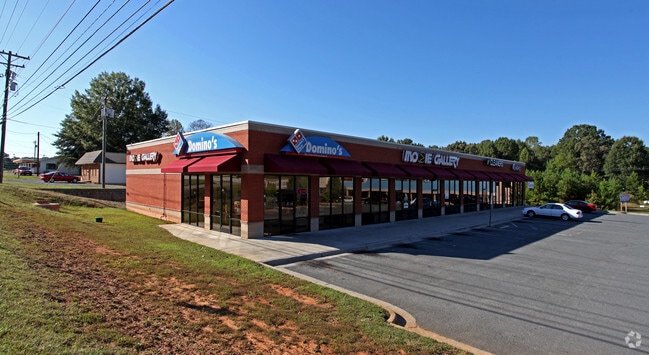
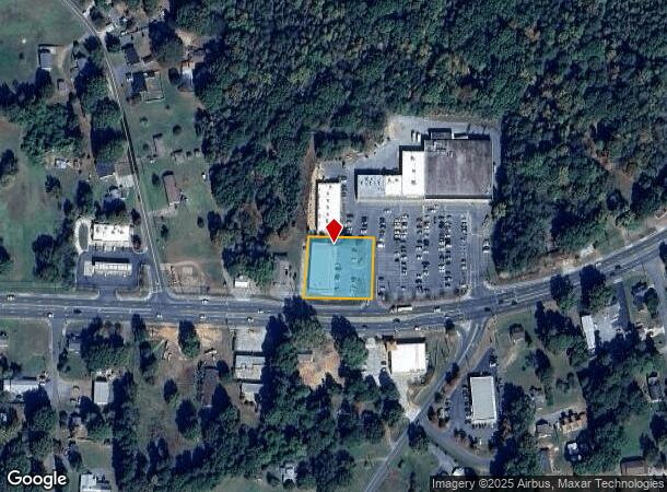
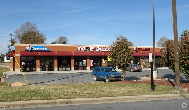
1050 Main St W, Locust, NC 28097
NEARBY LISTINGS FOR SALE OR LEASE
Property Detail
1050 Main St W
5575-03-00-3649
BLDG 1050 W MAIN ST 557503047
Communitycenter
Stanly
X
North Carolina
3710557500J
pt 5
2025
0.70 AC
2025
Stanly County
930801
Charlotte
8,160 SF
Albemarle, NC
DEMOGRAPHICS near 1050 Main St W
1 Mile
3 Mile
5 Mile
2024 Total Population
2,067
8,490
17,287
2029 Population
2,235
9,269
19,057
Pop Growth 2024-2029
+ 8.13%
+ 9.18%
+ 10.24%
Average Age
42
41
40
2024 Total Households
866
3,357
6,639
HH Growth 2024-2029
+ 8.08%
+ 8.79%
+ 9.56%
Median Household Inc
$43,303
$64,932
$74,155
Avg Household Size
2.30
2.50
2.60
2024 Avg HH Vehicles
2.00
2.00
2.00
Median Home Value
$218,269
$245,392
$254,963
Median Year Built
1993
1992
1995
Nearby Places
Map Layers
Map Styles
 Street
 Aerial
- Restaurants
- Banks
- Shops
- Fitness
- Groceries
PUBLIC TRANSPORTATION
AIRPORT
Concord-Padgett Regional
DRIVE
WALK
Distance
Concord-Padgett Regional
38 min
27.5 mi
Charlotte/Douglas International
DRIVE
WALK
Distance
Charlotte/Douglas International
53 min
32.5 mi
Freight Ports
Port of Wilmington
DRIVE
WALK
Distance
Port of Wilmington
228 min
181.1 mi
SALE & LEASE HISTORY
LISTING DATE
SALE/LEASE

Mar 14, 2018
For Lease
Dec 20, 2017
For Lease
Nearby Properties
Address
Land Use
TOTAL SIZE
Lot Size
Zoning
Address
Land Use
TOTAL SIZE
Lot Size
Zoning
152,220 SF
9.99 AC
HC
Address
Land Use
TOTAL SIZE
Lot Size
Zoning
47,081 SF
10.51 AC
CBI
Address
Land Use
TOTAL SIZE
Lot Size
Zoning
9,930 SF
601.95 AC
AO
Address
Land Use
TOTAL SIZE
Lot Size
Zoning
33,636 SF
10 AC
HC
Address
Land Use
TOTAL SIZE
Lot Size
Zoning
130,260 SF
18 AC
CBI
Address
Land Use
TOTAL SIZE
Lot Size
Zoning
17,790 SF
18.27 AC
CBI
Address
Land Use
TOTAL SIZE
Lot Size
Zoning
23,923 SF
15.13 AC
MULTIPLE
Address
Land Use
TOTAL SIZE
Lot Size
Zoning
1,440 SF
28.98 AC
MULTIPLE
Address
Land Use
TOTAL SIZE
Lot Size
Zoning
27,500 SF
13.57 AC
C 24/27
Address
Land Use
TOTAL SIZE
Lot Size
Zoning
45,892 SF
5.66 AC
HC
Address
Land Use
TOTAL SIZE
Lot Size
Zoning
286.37 AC
AO
Address
Land Use
TOTAL SIZE
Lot Size
Zoning
14,393 SF
9.18 AC
MULTIPLE
Address
Land Use
TOTAL SIZE
Lot Size
Zoning
122,110 SF
36.90 AC
I
Address
Land Use
TOTAL SIZE
Lot Size
Zoning
16,356 SF
3.23 AC
HC
Address
Land Use
TOTAL SIZE
Lot Size
Zoning
17,559 SF
1.70 AC
CC
Address
Land Use
TOTAL SIZE
Lot Size
Zoning
14,004 SF
0.82 AC
MULTIPLE
Address
Land Use
TOTAL SIZE
Lot Size
Zoning
51,686 SF
30.01 AC
IND
Address
Land Use
TOTAL SIZE
Lot Size
Zoning
7,200 SF
12.81 AC
MULTIPLE
Address
Land Use
TOTAL SIZE
Lot Size
Zoning
10,594 SF
7.33 AC
CBI
Address
Land Use
TOTAL SIZE
Lot Size
Zoning
42,775 SF
8 AC
Address
Land Use
TOTAL SIZE
Lot Size
Zoning
24,644 SF
3.08 AC
HC
Address
Land Use
TOTAL SIZE
Lot Size
Zoning
21 AC
HC
Address
Land Use
TOTAL SIZE
Lot Size
Zoning
29,553 SF
7.86 AC
CBI
Address
Land Use
TOTAL SIZE
Lot Size
Zoning
10,196 SF
0.82 AC
CC
Address
Land Use
TOTAL SIZE
Lot Size
Zoning
10,080 SF
3.35 AC
HC
Address
Land Use
TOTAL SIZE
Lot Size
Zoning
7.49 AC
HC
Address
Land Use
TOTAL SIZE
Lot Size
Zoning
30,732 SF
2.29 AC
HC
Address
Land Use
TOTAL SIZE
Lot Size
Zoning
32,500 SF
13.66 AC
Address
Land Use
TOTAL SIZE
Lot Size
Zoning
84,146 SF
13.70 AC
I
Address
Land Use
TOTAL SIZE
Lot Size
Zoning
10,000 SF
7.53 AC
OPS
The World's #1 Commercial Real Estate Marketplace
Connect with us
© 2025 CoStar Group
The information above has been obtained from sources believed reliable. While we do not doubt its accuracy we have not verified it and make no guarantee, warranty or representation about it. It is your responsibility to independently confirm its accuracy and completeness. Any projections, opinions, assumptions, or estimates used are for example only and do not represent the current or future performance of the property. The value of this transaction to you depends on tax and other factors which should be evaluated by your tax, financial, and legal advisors. You and your advisors should conduct a careful, independent investigation of the property to determine to your satisfaction the suitability of the property for your needs.