Property Record
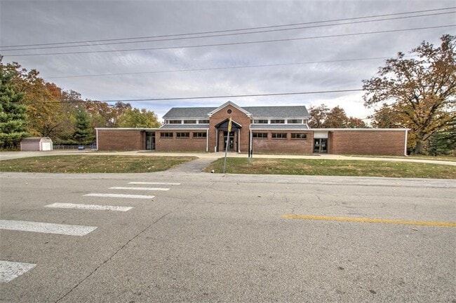
1050 S 44Th St, Decatur, IL 62521


Property Detail
1050 S 44Th St
09-13-20-202-016
NW1/4 NE1/4 BEG SW COR L 127 ~ON BAKERWOODS EST 3RD ADD ~N295.11 W375 S295 E375 ~TO POB
Taxexempt
MACON
MUNICIPAL
Illinois
B and X Area of moderate flood hazard, usually the area between the limits of the 100-year and 500-year floods.
2.54 AC
0
Springfield/Decatur
2024
Other Market Areas
002401
Decatur, IL
NEARBY LISTINGS FOR SALE OR LEASE
-
-
View all Decatur listings for sale on LoopNet.com
DEMOGRAPHICS near 1050 S 44Th St
1 mile
3 mile
5 mile
2025 Total Population
2,706
22,509
62,788
2030 Population
2,605
21,994
62,256
Pop Growth 2025-2030
(3.73%)
(2.29%)
(0.85%)
Average Age
48
42
40
2025 Total Households
1,250
9,901
26,954
HH Growth 2025-2030
(3.76%)
(2.42%)
(0.90%)
Median Household Inc
$77,525
$63,598
$49,109
Avg Household Size
2.10
2.20
2.20
2025 Avg HH Vehicles
2.00
2.00
2.00
Median Home Value
$134,264
$116,030
$97,769
Median Year Built
1966
1960
1962
Nearby Places
Map Layers
Map Styles
 Street
 Aerial
Layers
 Traffic
 Biking
Places
Listings with unknown addresses are not visible on the map
- Restaurants
- Banks
- Shops
- Fitness
- Groceries
SALE & LEASE HISTORY
LISTING DATE
SALE/LEASE

Nov 14, 2025
For Sale
Nearby Properties
Address
Land Use
TOTAL SIZE
Lot Size
Zoning
Address
Land Use
TOTAL SIZE
Lot Size
Zoning
87.31 AC
MUNICIPAL
Address
Land Use
TOTAL SIZE
Lot Size
Zoning
76.02 AC
MUNICIPAL
Address
Land Use
TOTAL SIZE
Lot Size
Zoning
68.23 AC
MUNICIPAL
Address
Land Use
TOTAL SIZE
Lot Size
Zoning
23.63 AC
MUNICIPAL
Address
Land Use
TOTAL SIZE
Lot Size
Zoning
Address
Land Use
TOTAL SIZE
Lot Size
Zoning
25.59 AC
MUNICIPAL
Address
Land Use
TOTAL SIZE
Lot Size
Zoning
54.49 AC
MUNICIPAL
Address
Land Use
TOTAL SIZE
Lot Size
Zoning
35.07 AC
MUNICIPAL
Address
Land Use
TOTAL SIZE
Lot Size
Zoning
Address
Land Use
TOTAL SIZE
Lot Size
Zoning
6.36 AC
MUNICIPAL
Address
Land Use
TOTAL SIZE
Lot Size
Zoning
2.61 AC
MUNICIPAL
Address
Land Use
TOTAL SIZE
Lot Size
Zoning
4.21 AC
MUNICIPAL
Address
Land Use
TOTAL SIZE
Lot Size
Zoning
21,555 SF
4.99 AC
MUNICIPAL
Address
Land Use
TOTAL SIZE
Lot Size
Zoning
1 AC
MUNICIPAL
Address
Land Use
TOTAL SIZE
Lot Size
Zoning
51.03 AC
MUNICIPAL
Address
Land Use
TOTAL SIZE
Lot Size
Zoning
4.64 AC
MUNICIPAL
Address
Land Use
TOTAL SIZE
Lot Size
Zoning
5 AC
MUNICIPAL
Address
Land Use
TOTAL SIZE
Lot Size
Zoning
1.24 AC
MUNICIPAL
Address
Land Use
TOTAL SIZE
Lot Size
Zoning
6.20 AC
MUNICIPAL
Address
Land Use
TOTAL SIZE
Lot Size
Zoning
7.74 AC
MUNICIPAL
Address
Land Use
TOTAL SIZE
Lot Size
Zoning
4.05 AC
MUNICIPAL
Address
Land Use
TOTAL SIZE
Lot Size
Zoning
1.24 AC
MUNICIPAL
Address
Land Use
TOTAL SIZE
Lot Size
Zoning
6.28 AC
MUNICIPAL
Address
Land Use
TOTAL SIZE
Lot Size
Zoning
3.47 AC
MUNICIPAL
Address
Land Use
TOTAL SIZE
Lot Size
Zoning
8.22 AC
MUNICIPAL
Address
Land Use
TOTAL SIZE
Lot Size
Zoning
2.89 AC
MUNICIPAL
Address
Land Use
TOTAL SIZE
Lot Size
Zoning
56.07 AC
MUNICIPAL
Address
Land Use
TOTAL SIZE
Lot Size
Zoning
7.50 AC
MUNICIPAL
Address
Land Use
TOTAL SIZE
Lot Size
Zoning
2.21 AC
MUNICIPAL
Address
Land Use
TOTAL SIZE
Lot Size
Zoning
2.24 AC
MUNICIPAL
The World's #1 Commercial Real Estate Marketplace
Connect with us
© 2026 CoStar Group
The information above has been obtained from sources believed reliable. While we do not doubt its accuracy we have not verified it and make no guarantee, warranty or representation about it. It is your responsibility to independently confirm its accuracy and completeness. Any projections, opinions, assumptions, or estimates used are for example only and do not represent the current or future performance of the property. The value of this transaction to you depends on tax and other factors which should be evaluated by your tax, financial, and legal advisors. You and your advisors should conduct a careful, independent investigation of the property to determine to your satisfaction the suitability of the property for your needs.