Property Record
1055 S 42Nd St, Phoenix, AZ 85034

Save to a Folder
{{folder.Name}}
{{folder.ListingIds.length}} Properties
{{folder.ListingIds.length}} Property
Create a New Folder
Property Detail
1055 S 42Nd St
121-31-072A
SKY HARBOR THREE MCR 328-15
Municipalproperty
MARICOPA
A-2
Arizona
C and X Area of minimal flood hazard, usually depicted on FIRMs as above the 500-year flood level.
1
0
112.57 AC
2025
North Airport
113900
Phoenix
252,306 SF
Phoenix-Mesa-Chandler, AZ
NEARBY LISTINGS FOR SALE OR LEASE
DEMOGRAPHICS near 1055 S 42Nd St
1 mile
3 mile
5 mile
2025 Total Population
404
89,473
348,497
2030 Population
415
93,121
363,882
Pop Growth 2025-2030
+ 2.72%
+ 4.08%
+ 4.41%
Average Age
32
33
35
2025 Total Households
278
34,879
142,311
HH Growth 2025-2030
+ 2.16%
+ 4.27%
+ 4.74%
Median Household Inc
$69,619
$60,715
$70,489
Avg Household Size
1.40
2.40
2.30
2025 Avg HH Vehicles
1.00
2.00
2.00
Median Home Value
$299,999
$385,975
$475,527
Median Year Built
2010
1983
1979
Nearby Places
Map Layers
Map Styles
 Street
 Aerial
Layers
 Traffic
 Biking
Places
Listings with unknown addresses are not visible on the map
- Restaurants
- Banks
- Shops
- Fitness
- Groceries
PUBLIC TRANSPORTATION
AIRPORT
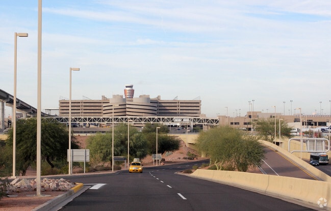
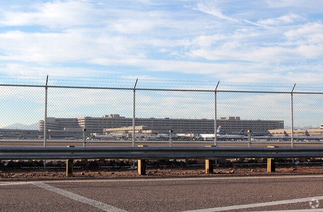
Phoenix Sky Harbor International
Drive
Walk
Distance
Phoenix Sky Harbor International
5 min
1.5 mi
Phoenix-Mesa Gateway
Drive
Walk
Distance
Phoenix-Mesa Gateway
43 min
28.3 mi
Nearby Properties
Address
Land Use
TOTAL SIZE
Lot Size
Zoning
Address
Land Use
TOTAL SIZE
Lot Size
Zoning
2,901,193 SF
20.73 AC
A-1
Address
Land Use
TOTAL SIZE
Lot Size
Zoning
75,000 SF
12.19 AC
I-1
Address
Land Use
TOTAL SIZE
Lot Size
Zoning
1,748,324 SF
29.35 AC
M-H
Address
Land Use
TOTAL SIZE
Lot Size
Zoning
1,949,842 SF
40 AC
I-1
Address
Land Use
TOTAL SIZE
Lot Size
Zoning
2.63 AC
I-1
Address
Land Use
TOTAL SIZE
Lot Size
Zoning
111,886 SF
3.46 AC
C-G
Address
Land Use
TOTAL SIZE
Lot Size
Zoning
3.62 AC
Address
Land Use
TOTAL SIZE
Lot Size
Zoning
Address
Land Use
TOTAL SIZE
Lot Size
Zoning
199,677 SF
14.55 AC
C-3
Address
Land Use
TOTAL SIZE
Lot Size
Zoning
81,816 SF
7.95 AC
Address
Land Use
TOTAL SIZE
Lot Size
Zoning
106,575 SF
2.50 AC
I-1
Address
Land Use
TOTAL SIZE
Lot Size
Zoning
5.13 AC
Address
Land Use
TOTAL SIZE
Lot Size
Zoning
94,162 SF
9.40 AC
I-2
Address
Land Use
TOTAL SIZE
Lot Size
Zoning
925,428 SF
86.02 AC
M-H
Address
Land Use
TOTAL SIZE
Lot Size
Zoning
2.54 AC
Address
Land Use
TOTAL SIZE
Lot Size
Zoning
Address
Land Use
TOTAL SIZE
Lot Size
Zoning
4.76 AC
C-G
Address
Land Use
TOTAL SIZE
Lot Size
Zoning
1,020,776 SF
11.33 AC
I-1
Address
Land Use
TOTAL SIZE
Lot Size
Zoning
331,050 SF
39 AC
I-1
Address
Land Use
TOTAL SIZE
Lot Size
Zoning
462,201 SF
6.74 AC
I-1
Address
Land Use
TOTAL SIZE
Lot Size
Zoning
522,676 SF
264.16 AC
I-1
Address
Land Use
TOTAL SIZE
Lot Size
Zoning
697,894 SF
8.43 AC
PAD
Address
Land Use
TOTAL SIZE
Lot Size
Zoning
709,191 SF
52.85 AC
I-1
Address
Land Use
TOTAL SIZE
Lot Size
Zoning
76,801 SF
4.79 AC
R1-6
Address
Land Use
TOTAL SIZE
Lot Size
Zoning
5.18 AC
Address
Land Use
TOTAL SIZE
Lot Size
Zoning
82,581 SF
3.06 AC
C3
Address
Land Use
TOTAL SIZE
Lot Size
Zoning
32,968 SF
2.10 AC
I-P
Address
Land Use
TOTAL SIZE
Lot Size
Zoning
635,169 SF
92.76 AC
I-1
Address
Land Use
TOTAL SIZE
Lot Size
Zoning
498,595 SF
9.01 AC
C-C
Address
Land Use
TOTAL SIZE
Lot Size
Zoning
511,014 SF
5.01 AC
I-1
The World's #1 Commercial Real Estate Marketplace
Connect with us
© 2026 CoStar Group
The information above has been obtained from sources believed reliable. While we do not doubt its accuracy we have not verified it and make no guarantee, warranty or representation about it. It is your responsibility to independently confirm its accuracy and completeness. Any projections, opinions, assumptions, or estimates used are for example only and do not represent the current or future performance of the property. The value of this transaction to you depends on tax and other factors which should be evaluated by your tax, financial, and legal advisors. You and your advisors should conduct a careful, independent investigation of the property to determine to your satisfaction the suitability of the property for your needs.