Property Record
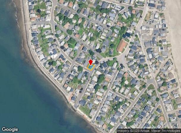
1055 Shirley St, Winthrop, MA 02152
NEARBY LISTINGS FOR SALE OR LEASE
-
-
View all Winthrop listings for lease on LoopNet.com
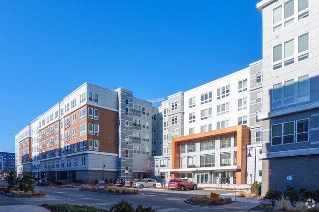
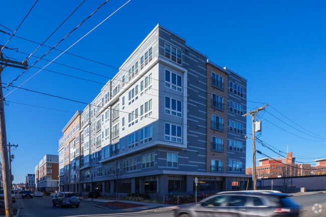
Property Detail
1055 Shirley St
Boston-Cambridge-Newton, MA-NH
& Triton Ave
WINT-000005-000000-000052
Suffolk
Vacantlandnec
Massachusetts
AE
52
25025C0101J
0.05 AC
2025
NW Suffolk County
2025
Boston
180400
DEMOGRAPHICS near 1055 Shirley St
1 Mile
3 Mile
5 Mile
2024 Total Population
48,959
320,177
749,169
2029 Population
46,381
307,092
725,055
Pop Growth 2024-2029
(5.27%)
(4.09%)
(3.22%)
Average Age
37
38
38
2024 Total Households
16,535
129,065
313,589
HH Growth 2024-2029
(5.53%)
(4.08%)
(3.33%)
Median Household Inc
$69,082
$83,892
$96,042
Avg Household Size
2.80
2.40
2.20
2024 Avg HH Vehicles
1.00
1.00
1.00
Median Home Value
$473,552
$651,670
$741,903
Median Year Built
1948
1951
1949
Nearby Places
Map Layers
Map Styles
 Street
 Aerial
- Restaurants
- Banks
- Shops
- Fitness
- Groceries
PUBLIC TRANSPORTATION
COMMUTER RAIL
Chelsea (Newburyport/Rockport Line - MBTA)
DRIVE
WALK
Distance
Chelsea (Newburyport/Rockport Line - MBTA)
14 min
7.4 mi
South Station (Fairmount Line - Massachusetts Bay Transportation Authority Commuter Rail (Purple Line), Framingham/Worcester Line - Massachusetts Bay Transportation Authority Commuter Rail (Purple Line), Franklin Line - Massachusetts Bay Transportation Authority Commuter Rail (Purple Line), Greenbush Line - Massachusetts Bay Transportation Authority Commuter Rail (Purple Line), Kingston/Plymouth Line - Massachusetts Bay Transportation Authority Commuter Rail (Purple Line), Middleborough/Lakeville Line - Massachusetts Bay Transportation Authority Commuter Rail (Purple Line), Needham Line - Massachusetts Bay Transportation Authority Commuter Rail (Purple Line), Providence/Stoughton Line - Massachusetts Bay Transportation Authority Commuter Rail (Purple Line))
DRIVE
WALK
Distance
South Station (Fairmount Line - Massachusetts Bay Transportation Authority Commuter Rail (Purple Line), Framingham/Worcester Line - Massachusetts Bay Transportation Authority Commuter Rail (Purple Line), Franklin Line - Massachusetts Bay Transportation Authority Commuter Rail (Purple Line), Greenbush Line - Massachusetts Bay Transportation Authority Commuter Rail (Purple Line), Kingston/Plymouth Line - Massachusetts Bay Transportation Authority Commuter Rail (Purple Line), Middleborough/Lakeville Line - Massachusetts Bay Transportation Authority Commuter Rail (Purple Line), Needham Line - Massachusetts Bay Transportation Authority Commuter Rail (Purple Line), Providence/Stoughton Line - Massachusetts Bay Transportation Authority Commuter Rail (Purple Line))
16 min
8.4 mi
AIRPORT
General Edward Lawrence Logan International
DRIVE
WALK
Distance
General Edward Lawrence Logan International
13 min
6.6 mi
Freight Ports
Port of Boston
DRIVE
WALK
Distance
Port of Boston
19 min
9.2 mi
SALE & LEASE HISTORY
LISTING DATE
SALE/LEASE

Jul 12, 2021
For Lease
Nearby Properties
Address
Land Use
TOTAL SIZE
Lot Size
Zoning
Address
Land Use
TOTAL SIZE
Lot Size
Zoning
164,959 SF
96.81 AC
E
Address
Land Use
TOTAL SIZE
Lot Size
Zoning
102.18 AC
E
Address
Land Use
TOTAL SIZE
Lot Size
Zoning
10.52 AC
C
Address
Land Use
TOTAL SIZE
Lot Size
Zoning
154.16 AC
E
Address
Land Use
TOTAL SIZE
Lot Size
Zoning
5,668 SF
20.05 AC
A
Address
Land Use
TOTAL SIZE
Lot Size
Zoning
391,884 SF
108.79 AC
C
Address
Land Use
TOTAL SIZE
Lot Size
Zoning
28,858 SF
32.04 AC
E
Address
Land Use
TOTAL SIZE
Lot Size
Zoning
214,895 SF
3.30 AC
A
Address
Land Use
TOTAL SIZE
Lot Size
Zoning
192,881 SF
6.08 AC
C
Address
Land Use
TOTAL SIZE
Lot Size
Zoning
192,031 SF
8.34 AC
Address
Land Use
TOTAL SIZE
Lot Size
Zoning
115,045 SF
6.90 AC
C
Address
Land Use
TOTAL SIZE
Lot Size
Zoning
81.22 AC
E
Address
Land Use
TOTAL SIZE
Lot Size
Zoning
29.47 AC
HB
Address
Land Use
TOTAL SIZE
Lot Size
Zoning
333,370 SF
10.34 AC
C
Address
Land Use
TOTAL SIZE
Lot Size
Zoning
84,855 SF
10.25 AC
Address
Land Use
TOTAL SIZE
Lot Size
Zoning
135,379 SF
15.05 AC
RB
Address
Land Use
TOTAL SIZE
Lot Size
Zoning
157,000 SF
3.25 AC
I
Address
Land Use
TOTAL SIZE
Lot Size
Zoning
84,614 SF
1.28 AC
Address
Land Use
TOTAL SIZE
Lot Size
Zoning
288,792 SF
0.73 AC
EA
Address
Land Use
TOTAL SIZE
Lot Size
Zoning
101,304 SF
3.09 AC
E
Address
Land Use
TOTAL SIZE
Lot Size
Zoning
189,098 SF
0.24 AC
Address
Land Use
TOTAL SIZE
Lot Size
Zoning
87,150 SF
26.62 AC
E
Address
Land Use
TOTAL SIZE
Lot Size
Zoning
24.56 AC
E
Address
Land Use
TOTAL SIZE
Lot Size
Zoning
44,360 SF
1.35 AC
E
Address
Land Use
TOTAL SIZE
Lot Size
Zoning
39.99 AC
Address
Land Use
TOTAL SIZE
Lot Size
Zoning
22.95 AC
E
Address
Land Use
TOTAL SIZE
Lot Size
Zoning
57,766 SF
1.86 AC
I
Address
Land Use
TOTAL SIZE
Lot Size
Zoning
10,124 SF
10.26 AC
Address
Land Use
TOTAL SIZE
Lot Size
Zoning
97,988 SF
0.69 AC
GB
Address
Land Use
TOTAL SIZE
Lot Size
Zoning
100 SF
2.97 AC
EA
The World's #1 Commercial Real Estate Marketplace
Connect with us
© 2025 CoStar Group
The information above has been obtained from sources believed reliable. While we do not doubt its accuracy we have not verified it and make no guarantee, warranty or representation about it. It is your responsibility to independently confirm its accuracy and completeness. Any projections, opinions, assumptions, or estimates used are for example only and do not represent the current or future performance of the property. The value of this transaction to you depends on tax and other factors which should be evaluated by your tax, financial, and legal advisors. You and your advisors should conduct a careful, independent investigation of the property to determine to your satisfaction the suitability of the property for your needs.