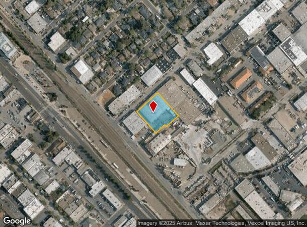
Property Record
1055 Terminal Way, San Carlos, CA 94070

NEARBY LISTINGS FOR SALE OR LEASE
Property Detail
1055 Terminal Way
046-131-080
ON SELY LN OF TERMINAL WAY COM 125 FT NELY FR OLD CO RD SAN CARLOS ACREAGE
Miscellaneous
San Mateo
X
California
06081C0169G
0.74 AC
2024
Belmont/San Carlos
2025
San Francisco
609100
San Francisco-Redwood City-South San Francisco, CA
18,000 SF
DEMOGRAPHICS near 1055 Terminal Way
1 Mile
3 Mile
5 Mile
2024 Total Population
14,705
131,751
266,292
2029 Population
14,095
125,671
254,321
Pop Growth 2024-2029
(4.15%)
(4.61%)
(4.50%)
Average Age
41
41
41
2024 Total Households
5,959
49,626
98,237
HH Growth 2024-2029
(4.14%)
(4.75%)
(4.64%)
Median Household Inc
$170,886
$160,387
$156,859
Avg Household Size
2.40
2.60
2.60
2024 Avg HH Vehicles
2.00
2.00
2.00
Median Home Value
$1,140,391
$1,133,955
$1,130,670
Median Year Built
1958
1968
1968
Nearby Places
Map Layers
Map Styles
 Street
 Aerial
- Restaurants
- Banks
- Shops
- Fitness
- Groceries
PUBLIC TRANSPORTATION
TRANSIT/SUBWAY
San Carlos (Caltrain - Caltrain (Caltrain))
DRIVE
WALK
Distance
San Carlos (Caltrain - Caltrain (Caltrain))
1 min
6 min
0.3 mi
COMMUTER RAIL
San Carlos (Caltrain - Caltrain (Caltrain))
DRIVE
WALK
Distance
San Carlos (Caltrain - Caltrain (Caltrain))
1 min
6 min
0.3 mi
DRIVE
WALK
Distance
4 min
1.5 mi
AIRPORT
San Francisco International
DRIVE
WALK
Distance
San Francisco International
19 min
12.4 mi
Norman Y Mineta San Jose International
DRIVE
WALK
Distance
Norman Y Mineta San Jose International
29 min
21.7 mi
Metro Oakland International
DRIVE
WALK
Distance
Metro Oakland International
37 min
28.1 mi
Freight Ports
Port of Redwood City
DRIVE
WALK
Distance
Port of Redwood City
10 min
4.6 mi
Nearby Properties
Address
Land Use
TOTAL SIZE
Lot Size
Zoning
Address
Land Use
TOTAL SIZE
Lot Size
Zoning
738,000 SF
56.46 AC
TP0000
Address
Land Use
TOTAL SIZE
Lot Size
Zoning
8.31 AC
EA00CA
Address
Land Use
TOTAL SIZE
Lot Size
Zoning
491,030 SF
2.74 AC
Address
Land Use
TOTAL SIZE
Lot Size
Zoning
330,071 SF
1.64 AC
Address
Land Use
TOTAL SIZE
Lot Size
Zoning
Address
Land Use
TOTAL SIZE
Lot Size
Zoning
223,321 SF
8.39 AC
M10000
Address
Land Use
TOTAL SIZE
Lot Size
Zoning
Address
Land Use
TOTAL SIZE
Lot Size
Zoning
378,534 SF
2.24 AC
Address
Land Use
TOTAL SIZE
Lot Size
Zoning
40,000 SF
1.60 AC
Address
Land Use
TOTAL SIZE
Lot Size
Zoning
190,245 SF
16.88 AC
M10000
Address
Land Use
TOTAL SIZE
Lot Size
Zoning
2,024 SF
2.07 AC
Address
Land Use
TOTAL SIZE
Lot Size
Zoning
395,625 SF
5.08 AC
Address
Land Use
TOTAL SIZE
Lot Size
Zoning
458,111 SF
2.26 AC
Address
Land Use
TOTAL SIZE
Lot Size
Zoning
1,849 SF
4.72 AC
CB0000
Address
Land Use
TOTAL SIZE
Lot Size
Zoning
2.69 AC
ML001R
Address
Land Use
TOTAL SIZE
Lot Size
Zoning
12,944 SF
12.37 AC
Address
Land Use
TOTAL SIZE
Lot Size
Zoning
366,384 SF
3.63 AC
Address
Land Use
TOTAL SIZE
Lot Size
Zoning
249,198 SF
1.14 AC
Address
Land Use
TOTAL SIZE
Lot Size
Zoning
2,023 SF
1.31 AC
Address
Land Use
TOTAL SIZE
Lot Size
Zoning
262,189 SF
1.16 AC
Address
Land Use
TOTAL SIZE
Lot Size
Zoning
187,781 SF
6.67 AC
CP0000
Address
Land Use
TOTAL SIZE
Lot Size
Zoning
12.14 AC
Address
Land Use
TOTAL SIZE
Lot Size
Zoning
55,422 SF
2.41 AC
PM0002
Address
Land Use
TOTAL SIZE
Lot Size
Zoning
239,430 SF
17.78 AC
CB0000
Address
Land Use
TOTAL SIZE
Lot Size
Zoning
Address
Land Use
TOTAL SIZE
Lot Size
Zoning
204,006 SF
9.02 AC
TP0000
Address
Land Use
TOTAL SIZE
Lot Size
Zoning
164,732 SF
7.02 AC
Address
Land Use
TOTAL SIZE
Lot Size
Zoning
141,180 SF
2.41 AC
Address
Land Use
TOTAL SIZE
Lot Size
Zoning
147,022 SF
7.17 AC
Address
Land Use
TOTAL SIZE
Lot Size
Zoning
221,200 SF
0.77 AC
The World's #1 Commercial Real Estate Marketplace
Connect with us
© 2025 CoStar Group
The information above has been obtained from sources believed reliable. While we do not doubt its accuracy we have not verified it and make no guarantee, warranty or representation about it. It is your responsibility to independently confirm its accuracy and completeness. Any projections, opinions, assumptions, or estimates used are for example only and do not represent the current or future performance of the property. The value of this transaction to you depends on tax and other factors which should be evaluated by your tax, financial, and legal advisors. You and your advisors should conduct a careful, independent investigation of the property to determine to your satisfaction the suitability of the property for your needs.