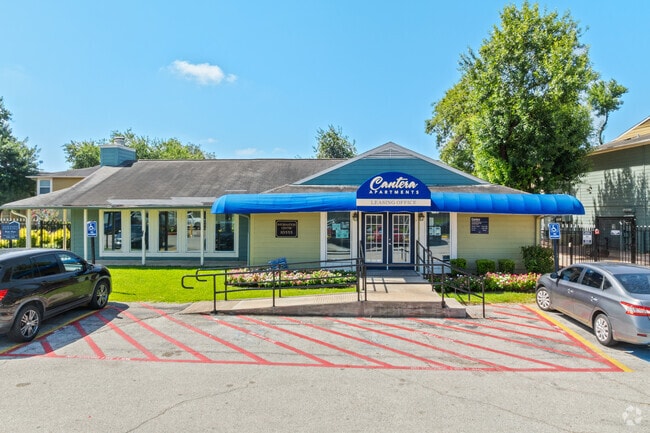
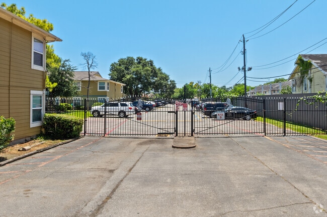
Property Record
10555 Spice Ln, Houston, TX 77072

NEARBY LISTINGS FOR SALE OR LEASE
Property Detail
10555 Spice Ln
1107380000001
Westhampton Place
Apartment
RES B BLK 2 WESTHAMPTON PLACE
AE
Harris
48157C0165L
Texas
2024
9.15 AC
2025
Alief
453202
Houston
241,208 SF
Houston-The Woodlands-Sugar Land, TX
DEMOGRAPHICS near 10555 Spice Ln
1 Mile
3 Mile
5 Mile
2024 Total Population
37,197
210,017
534,840
2029 Population
37,983
215,182
555,018
Pop Growth 2024-2029
+ 2.11%
+ 2.46%
+ 3.77%
Average Age
33
36
36
2024 Total Households
12,769
72,697
197,892
HH Growth 2024-2029
+ 2.00%
+ 2.51%
+ 3.72%
Median Household Inc
$31,486
$39,156
$44,753
Avg Household Size
2.80
2.80
2.60
2024 Avg HH Vehicles
1.00
2.00
2.00
Median Home Value
$150,276
$166,769
$210,348
Median Year Built
1980
1979
1980
Nearby Places
Map Layers
Map Styles
 Street
 Aerial
- Restaurants
- Banks
- Shops
- Fitness
- Groceries
PUBLIC TRANSPORTATION
AIRPORT
William P Hobby
DRIVE
WALK
Distance
William P Hobby
36 min
23.7 mi
George Bush Intcntl/Houston
DRIVE
WALK
Distance
George Bush Intcntl/Houston
42 min
34.3 mi
Freight Ports
Port of Houston
DRIVE
WALK
Distance
Port of Houston
38 min
24.1 mi
Nearby Properties
Address
Land Use
TOTAL SIZE
Lot Size
Zoning
Address
Land Use
TOTAL SIZE
Lot Size
Zoning
1,020,766 SF
3.08 AC
Address
Land Use
TOTAL SIZE
Lot Size
Zoning
627,632 SF
24.12 AC
Address
Land Use
TOTAL SIZE
Lot Size
Zoning
816,006 SF
40.26 AC
Address
Land Use
TOTAL SIZE
Lot Size
Zoning
188,178 SF
18.49 AC
Address
Land Use
TOTAL SIZE
Lot Size
Zoning
771,720 SF
19.28 AC
Address
Land Use
TOTAL SIZE
Lot Size
Zoning
362,473 SF
15.65 AC
Address
Land Use
TOTAL SIZE
Lot Size
Zoning
539,308 SF
21 AC
Address
Land Use
TOTAL SIZE
Lot Size
Zoning
351,042 SF
5 AC
Address
Land Use
TOTAL SIZE
Lot Size
Zoning
526,945 SF
23.05 AC
Address
Land Use
TOTAL SIZE
Lot Size
Zoning
700,828 SF
3.82 AC
Address
Land Use
TOTAL SIZE
Lot Size
Zoning
394,544 SF
2.62 AC
Address
Land Use
TOTAL SIZE
Lot Size
Zoning
183,015 SF
9.91 AC
Address
Land Use
TOTAL SIZE
Lot Size
Zoning
697,180 SF
2.90 AC
Address
Land Use
TOTAL SIZE
Lot Size
Zoning
843,830 SF
28.57 AC
Address
Land Use
TOTAL SIZE
Lot Size
Zoning
665,550 SF
3.58 AC
Address
Land Use
TOTAL SIZE
Lot Size
Zoning
340,944 SF
12.88 AC
Address
Land Use
TOTAL SIZE
Lot Size
Zoning
322,894 SF
17.51 AC
Address
Land Use
TOTAL SIZE
Lot Size
Zoning
725,466 SF
9.69 AC
Address
Land Use
TOTAL SIZE
Lot Size
Zoning
574,191 SF
8.32 AC
Address
Land Use
TOTAL SIZE
Lot Size
Zoning
355,887 SF
13.89 AC
Address
Land Use
TOTAL SIZE
Lot Size
Zoning
237,987 SF
12.18 AC
Address
Land Use
TOTAL SIZE
Lot Size
Zoning
269,067 SF
17.98 AC
Address
Land Use
TOTAL SIZE
Lot Size
Zoning
364,674 SF
13.79 AC
Address
Land Use
TOTAL SIZE
Lot Size
Zoning
302,764 SF
13.12 AC
Address
Land Use
TOTAL SIZE
Lot Size
Zoning
588,954 SF
7.07 AC
Address
Land Use
TOTAL SIZE
Lot Size
Zoning
275,996 SF
11 AC
Address
Land Use
TOTAL SIZE
Lot Size
Zoning
307,488 SF
11 AC
Address
Land Use
TOTAL SIZE
Lot Size
Zoning
274,158 SF
10.51 AC
Address
Land Use
TOTAL SIZE
Lot Size
Zoning
619,738 SF
8.12 AC
Address
Land Use
TOTAL SIZE
Lot Size
Zoning
280,309 SF
9.98 AC
The World's #1 Commercial Real Estate Marketplace
Connect with us
© 2025 CoStar Group
The information above has been obtained from sources believed reliable. While we do not doubt its accuracy we have not verified it and make no guarantee, warranty or representation about it. It is your responsibility to independently confirm its accuracy and completeness. Any projections, opinions, assumptions, or estimates used are for example only and do not represent the current or future performance of the property. The value of this transaction to you depends on tax and other factors which should be evaluated by your tax, financial, and legal advisors. You and your advisors should conduct a careful, independent investigation of the property to determine to your satisfaction the suitability of the property for your needs.