Property Record
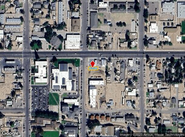
1059 N College Ave, Thatcher, AZ 85552


NEARBY LISTINGS FOR SALE OR LEASE
Property Detail
1059 N College Ave
104-10-061A
Thatcher
Countyproperty
THATCHER; BEG PNT 90 S OF THE NW COR BLK 13 TH S 35; E 100; N 35; W 100 TO POB 129/372 & 534
X
Graham
04009C1500D
Arizona
2024
0.08 AC
2026
Arizona SE & Sierra Vista Area
961202
Other Market Areas
1,800 SF
Safford, AZ
DEMOGRAPHICS near 1059 N College Ave
1 Mile
3 Mile
5 Mile
2024 Total Population
2,940
10,001
22,629
2029 Population
2,998
10,557
24,230
Pop Growth 2024-2029
+ 1.97%
+ 5.56%
+ 7.07%
Average Age
33
37
37
2024 Total Households
963
3,564
8,040
HH Growth 2024-2029
+ 1.87%
+ 5.70%
+ 7.09%
Median Household Inc
$68,819
$63,020
$60,533
Avg Household Size
3.00
2.80
2.80
2024 Avg HH Vehicles
2.00
2.00
2.00
Median Home Value
$296,874
$225,081
$183,180
Median Year Built
1989
1991
1988
Nearby Places
Map Layers
Map Styles
 Street
 Aerial
- Restaurants
- Banks
- Shops
- Fitness
- Groceries
SALE & LEASE HISTORY
LISTING DATE
SALE/LEASE

Sep 10, 2019
For Sale
Oct 28, 2021
For Sale
Nearby Properties
Address
Land Use
TOTAL SIZE
Lot Size
Zoning
Address
Land Use
TOTAL SIZE
Lot Size
Zoning
58,561 SF
11.75 AC
Address
Land Use
TOTAL SIZE
Lot Size
Zoning
207,922 SF
21.39 AC
Address
Land Use
TOTAL SIZE
Lot Size
Zoning
108,180 SF
47.47 AC
Address
Land Use
TOTAL SIZE
Lot Size
Zoning
95,920 SF
12.23 AC
Address
Land Use
TOTAL SIZE
Lot Size
Zoning
33,539 SF
22.26 AC
Address
Land Use
TOTAL SIZE
Lot Size
Zoning
94,361 SF
10.65 AC
Address
Land Use
TOTAL SIZE
Lot Size
Zoning
128,419 SF
7.43 AC
Address
Land Use
TOTAL SIZE
Lot Size
Zoning
49,283 SF
20.35 AC
Address
Land Use
TOTAL SIZE
Lot Size
Zoning
48,494 SF
11.13 AC
Address
Land Use
TOTAL SIZE
Lot Size
Zoning
56,564 SF
5.27 AC
Address
Land Use
TOTAL SIZE
Lot Size
Zoning
17,725 SF
8.70 AC
Address
Land Use
TOTAL SIZE
Lot Size
Zoning
49,585 SF
4.95 AC
Address
Land Use
TOTAL SIZE
Lot Size
Zoning
64,022 SF
3.43 AC
Address
Land Use
TOTAL SIZE
Lot Size
Zoning
43,932 SF
2.26 AC
Address
Land Use
TOTAL SIZE
Lot Size
Zoning
22,912 SF
2.87 AC
Address
Land Use
TOTAL SIZE
Lot Size
Zoning
42,672 SF
7.56 AC
Address
Land Use
TOTAL SIZE
Lot Size
Zoning
104,895 SF
7.94 AC
Address
Land Use
TOTAL SIZE
Lot Size
Zoning
31,613 SF
1.59 AC
Address
Land Use
TOTAL SIZE
Lot Size
Zoning
21,435 SF
264.62 AC
Address
Land Use
TOTAL SIZE
Lot Size
Zoning
18,687 SF
0.17 AC
Address
Land Use
TOTAL SIZE
Lot Size
Zoning
59,698 SF
6.02 AC
Address
Land Use
TOTAL SIZE
Lot Size
Zoning
45,764 SF
3.03 AC
Address
Land Use
TOTAL SIZE
Lot Size
Zoning
36,448 SF
4.52 AC
Address
Land Use
TOTAL SIZE
Lot Size
Zoning
27,946 SF
0.75 AC
Address
Land Use
TOTAL SIZE
Lot Size
Zoning
105,798 SF
4.64 AC
Address
Land Use
TOTAL SIZE
Lot Size
Zoning
36,565 SF
2.57 AC
Address
Land Use
TOTAL SIZE
Lot Size
Zoning
13,280 SF
1.99 AC
Address
Land Use
TOTAL SIZE
Lot Size
Zoning
11,865 SF
7.42 AC
Address
Land Use
TOTAL SIZE
Lot Size
Zoning
36,926 SF
5.20 AC
Address
Land Use
TOTAL SIZE
Lot Size
Zoning
22,789 SF
5.44 AC
The World's #1 Commercial Real Estate Marketplace
Connect with us
© 2025 CoStar Group
The information above has been obtained from sources believed reliable. While we do not doubt its accuracy we have not verified it and make no guarantee, warranty or representation about it. It is your responsibility to independently confirm its accuracy and completeness. Any projections, opinions, assumptions, or estimates used are for example only and do not represent the current or future performance of the property. The value of this transaction to you depends on tax and other factors which should be evaluated by your tax, financial, and legal advisors. You and your advisors should conduct a careful, independent investigation of the property to determine to your satisfaction the suitability of the property for your needs.