Property Record
1059 Old York Rd, East Windsor, NJ 08520
NEARBY LISTINGS FOR SALE OR LEASE
Property Detail
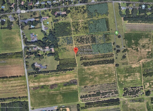
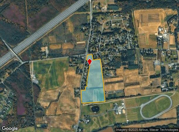
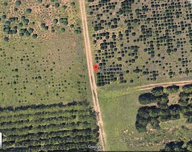
1059 Old York Rd
Trenton, NJ
ADDITIONAL LOTS: DEVEL. EASEMENT
01-00041-0000-00007-0000-QFARM
Mercer
Farms
New Jersey
X
7
34021C0257F
30 AC
2024
Trenton
2025
Northern New Jersey
004409
DEMOGRAPHICS near 1059 Old York Rd
1 Mile
3 Mile
5 Mile
2024 Total Population
921
15,577
59,505
2029 Population
893
15,392
58,722
Pop Growth 2024-2029
(3.04%)
(1.19%)
(1.32%)
Average Age
44
41
41
2024 Total Households
305
5,223
21,136
HH Growth 2024-2029
(3.61%)
(1.38%)
(1.58%)
Median Household Inc
$158,841
$121,768
$119,824
Avg Household Size
2.70
2.90
2.80
2024 Avg HH Vehicles
2.00
2.00
2.00
Median Home Value
$413,725
$382,824
$425,861
Median Year Built
1968
1977
1980
Nearby Places
Map Layers
Map Styles
 Street
 Aerial
- Restaurants
- Banks
- Shops
- Fitness
- Groceries
PUBLIC TRANSPORTATION
COMMUTER RAIL
Princeton Junction (Northeast Corridor Line - NJ Transit Commuter Rail (NJ Transit), Princeton Branch - NJ Transit Commuter Rail (NJ Transit))
DRIVE
WALK
Distance
Princeton Junction (Northeast Corridor Line - NJ Transit Commuter Rail (NJ Transit), Princeton Branch - NJ Transit Commuter Rail (NJ Transit))
17 min
9.7 mi
AIRPORT
Trenton Mercer
DRIVE
WALK
Distance
Trenton Mercer
34 min
20.9 mi
Freight Ports
New York Container Terminal
DRIVE
WALK
Distance
New York Container Terminal
52 min
40.0 mi
SALE & LEASE HISTORY
LISTING DATE
SALE/LEASE

Feb 21, 2020
For Sale
Nearby Properties
Address
Land Use
TOTAL SIZE
Lot Size
Zoning
Address
Land Use
TOTAL SIZE
Lot Size
Zoning
57.09 AC
R-1
Address
Land Use
TOTAL SIZE
Lot Size
Zoning
110.44 AC
OW
Address
Land Use
TOTAL SIZE
Lot Size
Zoning
376,379 SF
81.40 AC
PRC
Address
Land Use
TOTAL SIZE
Lot Size
Zoning
606,000 SF
51.49 AC
PUD
Address
Land Use
TOTAL SIZE
Lot Size
Zoning
12.30 AC
R-1
Address
Land Use
TOTAL SIZE
Lot Size
Zoning
27.57 AC
PUD
Address
Land Use
TOTAL SIZE
Lot Size
Zoning
15 AC
PUD
Address
Land Use
TOTAL SIZE
Lot Size
Zoning
16,402 SF
940.58 AC
PEC
Address
Land Use
TOTAL SIZE
Lot Size
Zoning
107,069 SF
16.02 AC
HC
Address
Land Use
TOTAL SIZE
Lot Size
Zoning
8.93 AC
PUD
Address
Land Use
TOTAL SIZE
Lot Size
Zoning
38.54 AC
OW
Address
Land Use
TOTAL SIZE
Lot Size
Zoning
149,897 SF
18.95 AC
HC2
Address
Land Use
TOTAL SIZE
Lot Size
Zoning
7.50 AC
R-4
Address
Land Use
TOTAL SIZE
Lot Size
Zoning
11.30 AC
R-3
Address
Land Use
TOTAL SIZE
Lot Size
Zoning
138,000 SF
7.92 AC
TC
Address
Land Use
TOTAL SIZE
Lot Size
Zoning
38,630 SF
11.09 AC
HC2
Address
Land Use
TOTAL SIZE
Lot Size
Zoning
15.62 AC
PCD
Address
Land Use
TOTAL SIZE
Lot Size
Zoning
94,482 SF
19.10 AC
HC2
Address
Land Use
TOTAL SIZE
Lot Size
Zoning
468.52 AC
PEC
Address
Land Use
TOTAL SIZE
Lot Size
Zoning
17.90 AC
R-PE
Address
Land Use
TOTAL SIZE
Lot Size
Zoning
130,410 SF
10.40 AC
RM
Address
Land Use
TOTAL SIZE
Lot Size
Zoning
20.20 AC
RR
Address
Land Use
TOTAL SIZE
Lot Size
Zoning
23,791 SF
8.06 AC
PUD
Address
Land Use
TOTAL SIZE
Lot Size
Zoning
4,437 SF
317.46 AC
PEC
Address
Land Use
TOTAL SIZE
Lot Size
Zoning
Address
Land Use
TOTAL SIZE
Lot Size
Zoning
326.46 AC
AR
Address
Land Use
TOTAL SIZE
Lot Size
Zoning
32.64 AC
OW
Address
Land Use
TOTAL SIZE
Lot Size
Zoning
8.48 AC
HC2
Address
Land Use
TOTAL SIZE
Lot Size
Zoning
16.06 AC
I
Address
Land Use
TOTAL SIZE
Lot Size
Zoning
35.02 AC
R1
The World's #1 Commercial Real Estate Marketplace
Connect with us
© 2025 CoStar Group
The information above has been obtained from sources believed reliable. While we do not doubt its accuracy we have not verified it and make no guarantee, warranty or representation about it. It is your responsibility to independently confirm its accuracy and completeness. Any projections, opinions, assumptions, or estimates used are for example only and do not represent the current or future performance of the property. The value of this transaction to you depends on tax and other factors which should be evaluated by your tax, financial, and legal advisors. You and your advisors should conduct a careful, independent investigation of the property to determine to your satisfaction the suitability of the property for your needs.