Property Record
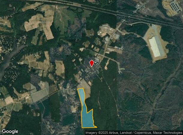
6400 Emmaus Church Rd, Providence Forge, VA 23140

NEARBY LISTINGS FOR SALE OR LEASE
Property Detail
6400 Emmaus Church Rd
Richmond, VA
Parrish
31 6 7
New Kent
Sfr
Virginia
X
5.06 AC
51036C0075D
New Kent County
3,338 SF
Richmond VA
DEMOGRAPHICS near 6400 Emmaus Church Rd
1 Mile
3 Mile
5 Mile
2024 Total Population
300
4,762
12,728
2029 Population
367
5,816
15,480
Pop Growth 2024-2029
+ 22.33%
+ 22.13%
+ 21.62%
Average Age
44
43
43
2024 Total Households
118
1,905
4,905
HH Growth 2024-2029
+ 22.88%
+ 22.41%
+ 21.79%
Median Household Inc
$55,454
$72,847
$98,576
Avg Household Size
2.60
2.50
2.60
2024 Avg HH Vehicles
2.00
2.00
3.00
Median Home Value
$265,908
$303,985
$313,850
Median Year Built
1995
1996
1997
Nearby Places
Map Layers
Map Styles
 Street
 Aerial
- Restaurants
- Banks
- Shops
- Fitness
- Groceries
PUBLIC TRANSPORTATION
AIRPORT
Richmond International
DRIVE
WALK
Distance
Richmond International
22 min
14.1 mi
Freight Ports
Virginia Port Authority - Richmond
DRIVE
WALK
Distance
Virginia Port Authority - Richmond
36 min
24.8 mi
SALE & LEASE HISTORY
LISTING DATE
SALE/LEASE

Nov 15, 2018
For Sale
Mar 01, 2019
For Lease
Nearby Properties
Address
Land Use
TOTAL SIZE
Lot Size
Zoning
Address
Land Use
TOTAL SIZE
Lot Size
Zoning
64,793 SF
10 AC
R2
Address
Land Use
TOTAL SIZE
Lot Size
Zoning
12,685 SF
17.98 AC
EO
Address
Land Use
TOTAL SIZE
Lot Size
Zoning
244.92 AC
PUD
Address
Land Use
TOTAL SIZE
Lot Size
Zoning
6,384 SF
6.84 AC
EO
Address
Land Use
TOTAL SIZE
Lot Size
Zoning
96.70 AC
PUD
Address
Land Use
TOTAL SIZE
Lot Size
Zoning
44.38 AC
PUD
Address
Land Use
TOTAL SIZE
Lot Size
Zoning
408.60 AC
IND
Address
Land Use
TOTAL SIZE
Lot Size
Zoning
42.36 AC
PUD
Address
Land Use
TOTAL SIZE
Lot Size
Zoning
296.73 AC
EO
Address
Land Use
TOTAL SIZE
Lot Size
Zoning
29,649 SF
6.82 AC
BUS
Address
Land Use
TOTAL SIZE
Lot Size
Zoning
14,820 SF
102.90 AC
IND
Address
Land Use
TOTAL SIZE
Lot Size
Zoning
24.89 AC
PUD
Address
Land Use
TOTAL SIZE
Lot Size
Zoning
141.06 AC
EO
Address
Land Use
TOTAL SIZE
Lot Size
Zoning
8,755 SF
2.83 AC
PUD
Address
Land Use
TOTAL SIZE
Lot Size
Zoning
43.72 AC
EO
Address
Land Use
TOTAL SIZE
Lot Size
Zoning
28.51 AC
PUD
Address
Land Use
TOTAL SIZE
Lot Size
Zoning
10.17 AC
PUD
Address
Land Use
TOTAL SIZE
Lot Size
Zoning
9,587 SF
10 AC
PUD
Address
Land Use
TOTAL SIZE
Lot Size
Zoning
2,500 SF
25.60 AC
A1
Address
Land Use
TOTAL SIZE
Lot Size
Zoning
829 SF
4.83 AC
BUS
Address
Land Use
TOTAL SIZE
Lot Size
Zoning
4,161 SF
188.56 AC
PUD
Address
Land Use
TOTAL SIZE
Lot Size
Zoning
3,286 SF
55.86 AC
A1
Address
Land Use
TOTAL SIZE
Lot Size
Zoning
17 AC
EO
Address
Land Use
TOTAL SIZE
Lot Size
Zoning
23.80 AC
IND
Address
Land Use
TOTAL SIZE
Lot Size
Zoning
6,267 SF
10 AC
EO
Address
Land Use
TOTAL SIZE
Lot Size
Zoning
2,520 SF
51.20 AC
PUD
Address
Land Use
TOTAL SIZE
Lot Size
Zoning
146.12 AC
EO
Address
Land Use
TOTAL SIZE
Lot Size
Zoning
9,086 SF
1.88 AC
BUS
Address
Land Use
TOTAL SIZE
Lot Size
Zoning
744 SF
222.66 AC
IND
Address
Land Use
TOTAL SIZE
Lot Size
Zoning
3,151 SF
1.38 AC
PUD
The World's #1 Commercial Real Estate Marketplace
Connect with us
© 2025 CoStar Group
The information above has been obtained from sources believed reliable. While we do not doubt its accuracy we have not verified it and make no guarantee, warranty or representation about it. It is your responsibility to independently confirm its accuracy and completeness. Any projections, opinions, assumptions, or estimates used are for example only and do not represent the current or future performance of the property. The value of this transaction to you depends on tax and other factors which should be evaluated by your tax, financial, and legal advisors. You and your advisors should conduct a careful, independent investigation of the property to determine to your satisfaction the suitability of the property for your needs.