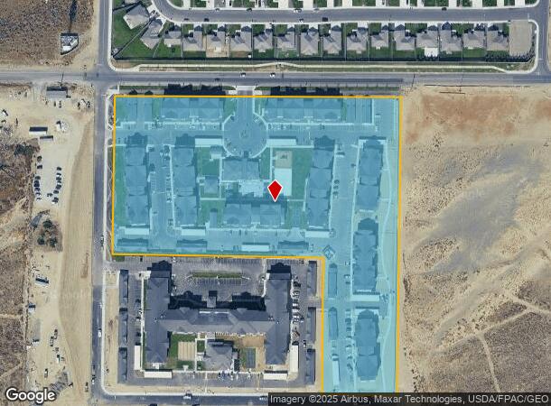
Property Record
10602 Burns Rd, Pasco, WA 99301

NEARBY LISTINGS FOR SALE OR LEASE
Property Detail
10602 Burns Rd
Kennewick-Richland, WA
07-09-29
115-210-050
Franklin
Multifamilydwelling
Washington
2025
11.59 AC
2025
Yakima/Kennewick
020606
Other Market Areas
19,900 SF
DEMOGRAPHICS near 10602 Burns Rd
1 Mile
3 Mile
5 Mile
2024 Total Population
3,414
45,702
113,646
2029 Population
3,706
49,569
122,638
Pop Growth 2024-2029
+ 8.55%
+ 8.46%
+ 7.91%
Average Age
37
35
37
2024 Total Households
1,192
16,227
41,671
HH Growth 2024-2029
+ 8.47%
+ 8.41%
+ 7.84%
Median Household Inc
$121,697
$84,476
$91,218
Avg Household Size
2.90
2.80
2.70
2024 Avg HH Vehicles
3.00
2.00
2.00
Median Home Value
$393,470
$327,131
$341,581
Median Year Built
2006
1997
1995
Nearby Places
Map Layers
Map Styles
 Street
 Aerial
- Restaurants
- Banks
- Shops
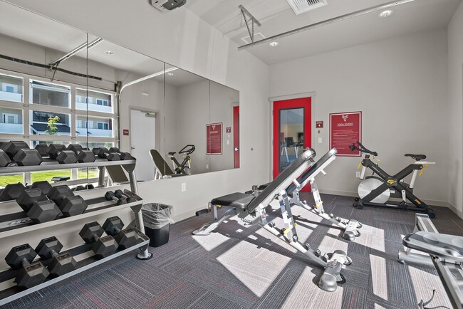
- Fitness
- Groceries
PUBLIC TRANSPORTATION
COMMUTER RAIL
Pasco Amtrak Station (Empire Builder - Amtrak)
DRIVE
WALK
Distance
Pasco Amtrak Station (Empire Builder - Amtrak)
13 min
8.8 mi
AIRPORT
Tri-Cities
DRIVE
WALK
Distance
Tri-Cities
14 min
7.5 mi
Freight Ports
Port of Tacoma
DRIVE
WALK
Distance
Port of Tacoma
266 min
232.3 mi
Nearby Properties
Address
Land Use
TOTAL SIZE
Lot Size
Zoning
Address
Land Use
TOTAL SIZE
Lot Size
Zoning
562,186 SF
7.61 AC
Address
Land Use
TOTAL SIZE
Lot Size
Zoning
277,530 SF
14.99 AC
Address
Land Use
TOTAL SIZE
Lot Size
Zoning
449,397 SF
44.57 AC
Address
Land Use
TOTAL SIZE
Lot Size
Zoning
428,225 SF
12.60 AC
Address
Land Use
TOTAL SIZE
Lot Size
Zoning
351,217 SF
60.86 AC
Address
Land Use
TOTAL SIZE
Lot Size
Zoning
183,266 SF
10 AC
Address
Land Use
TOTAL SIZE
Lot Size
Zoning
220,970 SF
1.28 AC
Address
Land Use
TOTAL SIZE
Lot Size
Zoning
76,783 SF
4 AC
Address
Land Use
TOTAL SIZE
Lot Size
Zoning
67,893 SF
3.28 AC
Address
Land Use
TOTAL SIZE
Lot Size
Zoning
72,220 SF
2.62 AC
Address
Land Use
TOTAL SIZE
Lot Size
Zoning
213,654 SF
21.01 AC
Address
Land Use
TOTAL SIZE
Lot Size
Zoning
81,497 SF
16.69 AC
Address
Land Use
TOTAL SIZE
Lot Size
Zoning
69,488 SF
1.69 AC
Address
Land Use
TOTAL SIZE
Lot Size
Zoning
69,697 SF
16.83 AC
Address
Land Use
TOTAL SIZE
Lot Size
Zoning
116,318 SF
2.74 AC
Address
Land Use
TOTAL SIZE
Lot Size
Zoning
96,486 SF
13.24 AC
Address
Land Use
TOTAL SIZE
Lot Size
Zoning
39,875 SF
1.80 AC
Address
Land Use
TOTAL SIZE
Lot Size
Zoning
86,104 SF
3.26 AC
Address
Land Use
TOTAL SIZE
Lot Size
Zoning
61,068 SF
0.78 AC
Address
Land Use
TOTAL SIZE
Lot Size
Zoning
160,160 SF
16.25 AC
58
Address
Land Use
TOTAL SIZE
Lot Size
Zoning
75,210 SF
4.70 AC
Address
Land Use
TOTAL SIZE
Lot Size
Zoning
32,808 SF
2.45 AC
Address
Land Use
TOTAL SIZE
Lot Size
Zoning
72,085 SF
1.75 AC
Address
Land Use
TOTAL SIZE
Lot Size
Zoning
59,838 SF
5.47 AC
Address
Land Use
TOTAL SIZE
Lot Size
Zoning
91,608 SF
6.60 AC
Address
Land Use
TOTAL SIZE
Lot Size
Zoning
99,409 SF
9.08 AC
Address
Land Use
TOTAL SIZE
Lot Size
Zoning
87,117 SF
3.94 AC
Address
Land Use
TOTAL SIZE
Lot Size
Zoning
106,478 SF
2.37 AC
Address
Land Use
TOTAL SIZE
Lot Size
Zoning
110,242 SF
24.22 AC
The World's #1 Commercial Real Estate Marketplace
Connect with us
© 2026 CoStar Group
The information above has been obtained from sources believed reliable. While we do not doubt its accuracy we have not verified it and make no guarantee, warranty or representation about it. It is your responsibility to independently confirm its accuracy and completeness. Any projections, opinions, assumptions, or estimates used are for example only and do not represent the current or future performance of the property. The value of this transaction to you depends on tax and other factors which should be evaluated by your tax, financial, and legal advisors. You and your advisors should conduct a careful, independent investigation of the property to determine to your satisfaction the suitability of the property for your needs.