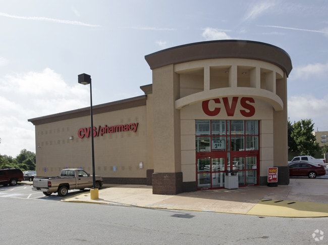
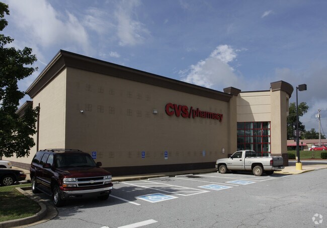
Property Record
1063 S Pendleton St, Easley, SC 29642

Property Detail
1063 S Pendleton St
5018-08-98-3442
HWY 135 LOT 006 PLAT 260/9A PLAT 288/18 PLAT 554/8
Drugstorepharmacycvswalgreens
PICKENS
GENERAL CO
South Carolina
B and X Area of moderate flood hazard, usually the area between the limits of the 100-year and 500-year floods.
6
2025
1.55 AC
2025
Pickens County
010804
Greenville/Spartanburg
10,755 SF
Greenville-Anderson-Greer, SC
NEARBY LISTINGS FOR SALE OR LEASE
DEMOGRAPHICS near 1063 S Pendleton St
1 mile
3 mile
5 mile
2025 Total Population
5,861
31,232
53,573
2030 Population
6,167
32,952
56,405
Pop Growth 2025-2030
+ 5.22%
+ 5.51%
+ 5.29%
Average Age
41
41
41
2025 Total Households
2,519
13,003
21,580
HH Growth 2025-2030
+ 5.48%
+ 5.77%
+ 5.57%
Median Household Inc
$53,121
$58,194
$64,075
Avg Household Size
2.30
2.40
2.40
2025 Avg HH Vehicles
2.00
2.00
2.00
Median Home Value
$215,745
$239,722
$252,024
Median Year Built
1979
1985
1990
Nearby Places
Map Layers
Map Styles
 Street
 Aerial
Transit
 Traffic
 Biking
Places
Listings with unknown addresses are not visible on the map
- Restaurants
- Banks
- Shops
- Fitness
- Groceries
PUBLIC TRANSPORTATION
AIRPORT
Greenville Spartanburg International
Drive
Walk
Distance
Greenville Spartanburg International
43 min
28.1 mi
Freight Ports
North Charleston Terminal
Drive
Walk
Distance
North Charleston Terminal
246 min
214.5 mi
Nearby Properties
Address
Land Use
TOTAL SIZE
Lot Size
Zoning
Address
Land Use
TOTAL SIZE
Lot Size
Zoning
81,245 SF
8.49 AC
GC
Address
Land Use
TOTAL SIZE
Lot Size
Zoning
2,291 SF
6.44 AC
GR2
Address
Land Use
TOTAL SIZE
Lot Size
Zoning
21.71 AC
GR2
Address
Land Use
TOTAL SIZE
Lot Size
Zoning
19,164 SF
3.22 AC
GC
Address
Land Use
TOTAL SIZE
Lot Size
Zoning
9,800 SF
5.94 AC
R10
Address
Land Use
TOTAL SIZE
Lot Size
Zoning
24,362 SF
3.84 AC
GENERAL CO
Address
Land Use
TOTAL SIZE
Lot Size
Zoning
19,088 SF
3 AC
CC
Address
Land Use
TOTAL SIZE
Lot Size
Zoning
10,906 SF
2.59 AC
CORE COMME
Address
Land Use
TOTAL SIZE
Lot Size
Zoning
3.60 AC
CORE COMME
Address
Land Use
TOTAL SIZE
Lot Size
Zoning
3,344 SF
3.04 AC
GR2
Address
Land Use
TOTAL SIZE
Lot Size
Zoning
44,601 SF
3 AC
Address
Land Use
TOTAL SIZE
Lot Size
Zoning
162.06 AC
R10
Address
Land Use
TOTAL SIZE
Lot Size
Zoning
177,695 SF
20.43 AC
Address
Land Use
TOTAL SIZE
Lot Size
Zoning
16.29 AC
GENERAL CO
Address
Land Use
TOTAL SIZE
Lot Size
Zoning
4,200 SF
0.98 AC
GC
Address
Land Use
TOTAL SIZE
Lot Size
Zoning
6,670 SF
4 AC
GR2
Address
Land Use
TOTAL SIZE
Lot Size
Zoning
1,532 SF
9.03 AC
GR2
Address
Land Use
TOTAL SIZE
Lot Size
Zoning
3,044 SF
2 AC
GENERAL RE
Address
Land Use
TOTAL SIZE
Lot Size
Zoning
3,325 SF
16.01 AC
R10
Address
Land Use
TOTAL SIZE
Lot Size
Zoning
5,427 SF
1.34 AC
Address
Land Use
TOTAL SIZE
Lot Size
Zoning
8.75 AC
Address
Land Use
TOTAL SIZE
Lot Size
Zoning
3,250 SF
0.07 AC
GENERAL RE
Address
Land Use
TOTAL SIZE
Lot Size
Zoning
5,000 SF
0.12 AC
CORE COMME
Address
Land Use
TOTAL SIZE
Lot Size
Zoning
220,956 SF
16.80 AC
GENERAL CO
Address
Land Use
TOTAL SIZE
Lot Size
Zoning
4,450 SF
1.28 AC
MED MEDICA
Address
Land Use
TOTAL SIZE
Lot Size
Zoning
3,867 SF
1.22 AC
CORE COMME
Address
Land Use
TOTAL SIZE
Lot Size
Zoning
20,406 SF
1.26 AC
CORE COMME
Address
Land Use
TOTAL SIZE
Lot Size
Zoning
6,314 SF
2.20 AC
GR1
Address
Land Use
TOTAL SIZE
Lot Size
Zoning
4,800 SF
0.37 AC
GENERAL CO
Address
Land Use
TOTAL SIZE
Lot Size
Zoning
3.98 AC
NEIGHBORHO
The World's #1 Commercial Real Estate Marketplace
Connect with us
© 2026 CoStar Group
The information above has been obtained from sources believed reliable. While we do not doubt its accuracy we have not verified it and make no guarantee, warranty or representation about it. It is your responsibility to independently confirm its accuracy and completeness. Any projections, opinions, assumptions, or estimates used are for example only and do not represent the current or future performance of the property. The value of this transaction to you depends on tax and other factors which should be evaluated by your tax, financial, and legal advisors. You and your advisors should conduct a careful, independent investigation of the property to determine to your satisfaction the suitability of the property for your needs.