Property Record
10643 N Frank Lloyd Wright Blvd, Scottsdale, AZ 85259

NEARBY LISTINGS FOR SALE OR LEASE
Property Detail
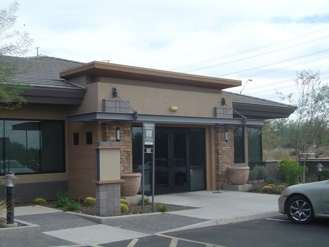
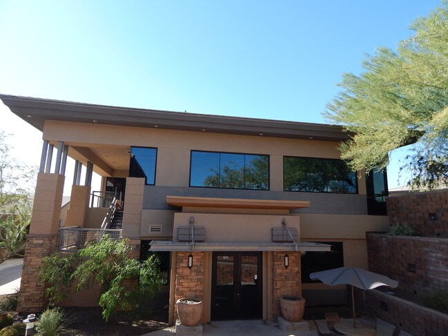
10643 N Frank Lloyd Wright Blvd
Phoenix-Mesa-Scottsdale, AZ
Plaza Leyenda Condominium
217-32-506
PLAZA LEYENDA CONDOMINIUM MCR 950-27
Officecondo
Maricopa
X
Arizona
04013C1780L
i202
2025
0.04 AC
2025
Central Scottsdale
216837
Phoenix
9,602 SF
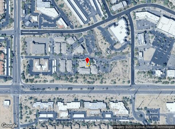
DEMOGRAPHICS near 10643 N Frank Lloyd Wright Blvd
1 Mile
3 Mile
5 Mile
2024 Total Population
10,958
43,022
99,629
2029 Population
11,881
46,851
108,832
Pop Growth 2024-2029
+ 8.42%
+ 8.90%
+ 9.24%
Average Age
45
47
47
2024 Total Households
5,005
19,007
45,130
HH Growth 2024-2029
+ 8.45%
+ 9.16%
+ 9.40%
Median Household Inc
$97,863
$115,927
$111,501
Avg Household Size
2.20
2.20
2.20
2024 Avg HH Vehicles
2.00
2.00
2.00
Median Home Value
$675,366
$724,094
$702,367
Median Year Built
1990
1989
1991
Nearby Places
Map Layers
Map Styles
 Street
 Aerial
- Restaurants
- Banks
- Shops
- Fitness
- Groceries
PUBLIC TRANSPORTATION
AIRPORT
Phoenix Sky Harbor International
DRIVE
WALK
Distance
Phoenix Sky Harbor International
31 min
20.9 mi
Phoenix-Mesa Gateway
DRIVE
WALK
Distance
Phoenix-Mesa Gateway
52 min
36.3 mi
SALE & LEASE HISTORY
LISTING DATE
SALE/LEASE

Oct 31, 2019
For Sale
Nearby Properties
Address
Land Use
TOTAL SIZE
Lot Size
Zoning
Address
Land Use
TOTAL SIZE
Lot Size
Zoning
582,125 SF
74.02 AC
R-43
Address
Land Use
TOTAL SIZE
Lot Size
Zoning
6.71 AC
PAD
Address
Land Use
TOTAL SIZE
Lot Size
Zoning
701,903 SF
35.56 AC
C-T
Address
Land Use
TOTAL SIZE
Lot Size
Zoning
124,656 SF
160 AC
R-35
Address
Land Use
TOTAL SIZE
Lot Size
Zoning
380,106 SF
38.10 AC
C-T
Address
Land Use
TOTAL SIZE
Lot Size
Zoning
20,355 SF
38.96 AC
M-H
Address
Land Use
TOTAL SIZE
Lot Size
Zoning
206,966 SF
6 AC
C-T
Address
Land Use
TOTAL SIZE
Lot Size
Zoning
256,962 SF
5.20 AC
PF
Address
Land Use
TOTAL SIZE
Lot Size
Zoning
184,912 SF
18.07 AC
PF
Address
Land Use
TOTAL SIZE
Lot Size
Zoning
63,321 SF
15.65 AC
R-10
Address
Land Use
TOTAL SIZE
Lot Size
Zoning
107,123 SF
8.54 AC
C-T
Address
Land Use
TOTAL SIZE
Lot Size
Zoning
292,054 SF
13.87 AC
M-H
Address
Land Use
TOTAL SIZE
Lot Size
Zoning
167,091 SF
7.44 AC
C-T
Address
Land Use
TOTAL SIZE
Lot Size
Zoning
73 AC
OS
Address
Land Use
TOTAL SIZE
Lot Size
Zoning
68,276 SF
6.19 AC
C-T
Address
Land Use
TOTAL SIZE
Lot Size
Zoning
120,360 SF
8.59 AC
C-O
Address
Land Use
TOTAL SIZE
Lot Size
Zoning
73,950 SF
7.03 AC
Address
Land Use
TOTAL SIZE
Lot Size
Zoning
220,863 SF
11.50 AC
M-H
Address
Land Use
TOTAL SIZE
Lot Size
Zoning
247,990 SF
3.83 AC
M-H
Address
Land Use
TOTAL SIZE
Lot Size
Zoning
142,893 SF
6.09 AC
M-H
Address
Land Use
TOTAL SIZE
Lot Size
Zoning
81,720 SF
11.63 AC
PF
Address
Land Use
TOTAL SIZE
Lot Size
Zoning
165,002 SF
8.71 AC
M-H
Address
Land Use
TOTAL SIZE
Lot Size
Zoning
60,922 SF
8.94 AC
R-43
Address
Land Use
TOTAL SIZE
Lot Size
Zoning
192,752 SF
9.30 AC
M-H
Address
Land Use
TOTAL SIZE
Lot Size
Zoning
78,934 SF
0.73 AC
PF
Address
Land Use
TOTAL SIZE
Lot Size
Zoning
70,733 SF
8.18 AC
R-10
Address
Land Use
TOTAL SIZE
Lot Size
Zoning
33.56 AC
C-T
Address
Land Use
TOTAL SIZE
Lot Size
Zoning
80,757 SF
17 AC
R-35
Address
Land Use
TOTAL SIZE
Lot Size
Zoning
156,724 SF
8.11 AC
M-H
Address
Land Use
TOTAL SIZE
Lot Size
Zoning
71,560 SF
20.08 AC
R-10
The World's #1 Commercial Real Estate Marketplace
Connect with us
© 2026 CoStar Group
The information above has been obtained from sources believed reliable. While we do not doubt its accuracy we have not verified it and make no guarantee, warranty or representation about it. It is your responsibility to independently confirm its accuracy and completeness. Any projections, opinions, assumptions, or estimates used are for example only and do not represent the current or future performance of the property. The value of this transaction to you depends on tax and other factors which should be evaluated by your tax, financial, and legal advisors. You and your advisors should conduct a careful, independent investigation of the property to determine to your satisfaction the suitability of the property for your needs.