Property Record
1065 Eagleridge Blvd, Pueblo, CO 81008

NEARBY LISTINGS FOR SALE OR LEASE
-
-
View all Pueblo listings for sale on LoopNet.com
Property Detail
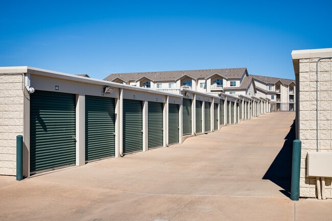
1065 Eagleridge Blvd
Pueblo, CO
Com-Eagleridge Db
0-5-12-3-22-003
Pueblo
Commercialacreage
Colorado
X
5.12 AC
08101C0503D
Colorado East Area
81,880 SF
Other Market Areas
DEMOGRAPHICS near 1065 Eagleridge Blvd
1 Mile
3 Mile
5 Mile
2024 Total Population
6,983
36,258
78,107
2029 Population
7,218
37,311
80,271
Pop Growth 2024-2029
+ 3.37%
+ 2.90%
+ 2.77%
Average Age
40
40
40
2024 Total Households
2,987
15,486
31,750
HH Growth 2024-2029
+ 3.58%
+ 3.07%
+ 2.92%
Median Household Inc
$56,937
$54,953
$48,902
Avg Household Size
2.30
2.20
2.30
2024 Avg HH Vehicles
2.00
2.00
2.00
Median Home Value
$250,083
$246,953
$227,102
Median Year Built
2000
1975
1968
Nearby Places
Map Layers
Map Styles
 Street
 Aerial
- Restaurants
- Banks
- Shops
- Fitness
- Groceries
SALE & LEASE HISTORY
LISTING DATE
SALE/LEASE

Mar 20, 2023
For Sale
Nearby Properties
Address
Land Use
TOTAL SIZE
Lot Size
Zoning
Address
Land Use
TOTAL SIZE
Lot Size
Zoning
486,484 SF
3.75 AC
R5:RES/MUL
Address
Land Use
TOTAL SIZE
Lot Size
Zoning
80,928 SF
148.57 AC
Address
Land Use
TOTAL SIZE
Lot Size
Zoning
47,007 SF
8.79 AC
Address
Land Use
TOTAL SIZE
Lot Size
Zoning
61,095 SF
5.58 AC
B3:COMM/H&
Address
Land Use
TOTAL SIZE
Lot Size
Zoning
44,544 SF
4 AC
R5:RES/MUL
Address
Land Use
TOTAL SIZE
Lot Size
Zoning
200,121 SF
21.03 AC
B4:COMM/RE
Address
Land Use
TOTAL SIZE
Lot Size
Zoning
16,888 SF
5.31 AC
A-1
Address
Land Use
TOTAL SIZE
Lot Size
Zoning
25,172 SF
1.42 AC
R5:RES/MUL
Address
Land Use
TOTAL SIZE
Lot Size
Zoning
13,060 SF
11.06 AC
S-1
Address
Land Use
TOTAL SIZE
Lot Size
Zoning
13,178 SF
1.10 AC
R2:RES/1 F
Address
Land Use
TOTAL SIZE
Lot Size
Zoning
15,741 SF
24.16 AC
R5:RES/MUL
Address
Land Use
TOTAL SIZE
Lot Size
Zoning
22,611 SF
6.85 AC
S1:SPC/PUB
Address
Land Use
TOTAL SIZE
Lot Size
Zoning
91,409 SF
12.23 AC
B-3
Address
Land Use
TOTAL SIZE
Lot Size
Zoning
50,464 SF
9.34 AC
B4:COMM/RE
Address
Land Use
TOTAL SIZE
Lot Size
Zoning
17,956 SF
3.31 AC
R1:RES/1 F
Address
Land Use
TOTAL SIZE
Lot Size
Zoning
25,180 SF
1.83 AC
B4:COMM/RE
Address
Land Use
TOTAL SIZE
Lot Size
Zoning
20,507 SF
2.93 AC
B3:COMM/H&
Address
Land Use
TOTAL SIZE
Lot Size
Zoning
202,847 SF
22.04 AC
B4:COMM/RE
Address
Land Use
TOTAL SIZE
Lot Size
Zoning
88,208 SF
11.96 AC
B-3
Address
Land Use
TOTAL SIZE
Lot Size
Zoning
104,405 SF
8.17 AC
A2:AG/1&2
Address
Land Use
TOTAL SIZE
Lot Size
Zoning
181,050 SF
12.97 AC
B3:COMM/H&
Address
Land Use
TOTAL SIZE
Lot Size
Zoning
146,292 SF
17.81 AC
B3:COMM/H&
Address
Land Use
TOTAL SIZE
Lot Size
Zoning
90,175 SF
7.86 AC
B3:COMM/H&
Address
Land Use
TOTAL SIZE
Lot Size
Zoning
26,467 SF
2.02 AC
B4:COMM/RE
Address
Land Use
TOTAL SIZE
Lot Size
Zoning
13,166 SF
1.65 AC
R6:RES/MUL
Address
Land Use
TOTAL SIZE
Lot Size
Zoning
50,104 SF
6.56 AC
Address
Land Use
TOTAL SIZE
Lot Size
Zoning
22,531 SF
1.98 AC
R5:RES/MUL
Address
Land Use
TOTAL SIZE
Lot Size
Zoning
67,285 SF
4.27 AC
I3:IND/HEA
Address
Land Use
TOTAL SIZE
Lot Size
Zoning
30,798 SF
2.53 AC
B4:COMM/RE
The World's #1 Commercial Real Estate Marketplace
Connect with us
© 2025 CoStar Group
The information above has been obtained from sources believed reliable. While we do not doubt its accuracy we have not verified it and make no guarantee, warranty or representation about it. It is your responsibility to independently confirm its accuracy and completeness. Any projections, opinions, assumptions, or estimates used are for example only and do not represent the current or future performance of the property. The value of this transaction to you depends on tax and other factors which should be evaluated by your tax, financial, and legal advisors. You and your advisors should conduct a careful, independent investigation of the property to determine to your satisfaction the suitability of the property for your needs.