Property Record
1065 N Perry St, Pontiac, MI 48340


This Property Is For Sale
NEARBY LISTINGS FOR SALE OR LEASE
Property Detail
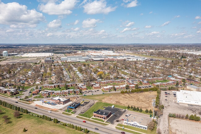
1065 N Perry St
Detroit-Warren-Dearborn, MI
Sambos Of Michigan
14-21-226-019
T3N, R10E, SEC 21 SAMBO'S OF MICHIGAN SWLY 120 FT OF LOT 1 AS MEAS PERPENDICULAR TO SWLY LI OF SD LOT 1 4-26-10 FR 013
Storebuilding
Oakland
X
Michigan
26125C0367F
1,4
2024
0.56 AC
2025
Pontiac
141400
Detroit
4,088 SF
DEMOGRAPHICS near 1065 N Perry St
1 Mile
3 Mile
5 Mile
2024 Total Population
11,934
64,411
159,885
2029 Population
11,837
64,374
159,503
Pop Growth 2024-2029
(0.81%)
(0.06%)
(0.24%)
Average Age
35
37
40
2024 Total Households
4,373
25,646
65,041
HH Growth 2024-2029
(0.87%)
(0.14%)
(0.28%)
Median Household Inc
$42,330
$41,093
$61,530
Avg Household Size
2.60
2.40
2.30
2024 Avg HH Vehicles
2.00
1.00
2.00
Median Home Value
$73,474
$88,845
$223,538
Median Year Built
1955
1962
1971
Nearby Places
Map Layers
Map Styles
 Street
 Aerial
- Restaurants
- Banks
- Shops
- Fitness
- Groceries
PUBLIC TRANSPORTATION
AIRPORT
Bishop International
DRIVE
WALK
Distance
Bishop International
57 min
39.2 mi
Windsor International
DRIVE
WALK
Distance
Windsor International
60 min
40.1 mi
Detroit Metro Wayne County
DRIVE
WALK
Distance
Detroit Metro Wayne County
65 min
49.6 mi
Nearby Properties
Address
Land Use
TOTAL SIZE
Lot Size
Zoning
Address
Land Use
TOTAL SIZE
Lot Size
Zoning
7,879,586 SF
457.68 AC
TR
Address
Land Use
TOTAL SIZE
Lot Size
Zoning
2,734,739 SF
80.39 AC
Address
Land Use
TOTAL SIZE
Lot Size
Zoning
671,780 SF
Address
Land Use
TOTAL SIZE
Lot Size
Zoning
238,755 SF
Address
Land Use
TOTAL SIZE
Lot Size
Zoning
715,400 SF
Address
Land Use
TOTAL SIZE
Lot Size
Zoning
316,358 SF
20.89 AC
P
Address
Land Use
TOTAL SIZE
Lot Size
Zoning
608,251 SF
50.49 AC
II
Address
Land Use
TOTAL SIZE
Lot Size
Zoning
430,338 SF
46.09 AC
Address
Land Use
TOTAL SIZE
Lot Size
Zoning
238,755 SF
18.12 AC
Address
Land Use
TOTAL SIZE
Lot Size
Zoning
1,771,589 SF
96.73 AC
Address
Land Use
TOTAL SIZE
Lot Size
Zoning
246,150 SF
26.64 AC
TR
Address
Land Use
TOTAL SIZE
Lot Size
Zoning
487,797 SF
34.74 AC
TR
Address
Land Use
TOTAL SIZE
Lot Size
Zoning
278,387 SF
43.37 AC
Address
Land Use
TOTAL SIZE
Lot Size
Zoning
131,817 SF
67 AC
SP
Address
Land Use
TOTAL SIZE
Lot Size
Zoning
214,772 SF
Address
Land Use
TOTAL SIZE
Lot Size
Zoning
601,151 SF
Address
Land Use
TOTAL SIZE
Lot Size
Zoning
430,338 SF
43.22 AC
Address
Land Use
TOTAL SIZE
Lot Size
Zoning
213,112 SF
12.17 AC
I1
Address
Land Use
TOTAL SIZE
Lot Size
Zoning
144,349 SF
12.42 AC
SP
Address
Land Use
TOTAL SIZE
Lot Size
Zoning
321,936 SF
29.11 AC
RM1
Address
Land Use
TOTAL SIZE
Lot Size
Zoning
101,568 SF
8.06 AC
Address
Land Use
TOTAL SIZE
Lot Size
Zoning
172,076 SF
11.18 AC
Address
Land Use
TOTAL SIZE
Lot Size
Zoning
278,387 SF
Address
Land Use
TOTAL SIZE
Lot Size
Zoning
135,230 SF
Address
Land Use
TOTAL SIZE
Lot Size
Zoning
232,860 SF
28.30 AC
I1
Address
Land Use
TOTAL SIZE
Lot Size
Zoning
186,242 SF
Address
Land Use
TOTAL SIZE
Lot Size
Zoning
199,125 SF
47.43 AC
Address
Land Use
TOTAL SIZE
Lot Size
Zoning
52,968 SF
3.73 AC
Address
Land Use
TOTAL SIZE
Lot Size
Zoning
205,703 SF
21.63 AC
B2
Address
Land Use
TOTAL SIZE
Lot Size
Zoning
173,974 SF
31.37 AC
TR
The World's #1 Commercial Real Estate Marketplace
Connect with us
© 2025 CoStar Group
The information above has been obtained from sources believed reliable. While we do not doubt its accuracy we have not verified it and make no guarantee, warranty or representation about it. It is your responsibility to independently confirm its accuracy and completeness. Any projections, opinions, assumptions, or estimates used are for example only and do not represent the current or future performance of the property. The value of this transaction to you depends on tax and other factors which should be evaluated by your tax, financial, and legal advisors. You and your advisors should conduct a careful, independent investigation of the property to determine to your satisfaction the suitability of the property for your needs.