Property Record
1066 E Gentile St, Layton, UT 84041


NEARBY LISTINGS FOR SALE OR LEASE
-
-
-
-
-
-
-
No Photo
-
View all Layton listings for lease on LoopNet.com
Property Detail
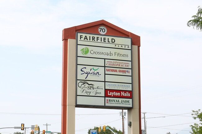
1066 E Gentile St
11-003-0072
Salt Lake Base
Stripcommercialcenter
BEG AT A PT ON THE S LINE OF GENTILE STR SD PT OF BEG BEING N 0^20'20" E 69.70 FT ALG THE SEC LINE; TH N 69^11'45" E 820.51 FT ALG THE CENTER LINE OF GENTILE STR & S 21^54'46" E 33.01 FT FR THE NW COR
X
Davis
49011C0237F
Utah
2025
0.48 AC
2025
Davis/Weber Counties
125906
Salt Lake City
9,968 SF
Ogden, UT
DEMOGRAPHICS near 1066 E Gentile St
1 mile
3 mile
5 mile
2024 Total Population
13,766
90,186
164,985
2029 Population
14,514
95,585
175,332
Pop Growth 2024-2029
+ 5.43%
+ 5.99%
+ 6.27%
Average Age
37
36
34
2024 Total Households
4,649
28,099
50,717
HH Growth 2024-2029
+ 5.49%
+ 6.01%
+ 6.35%
Median Household Inc
$85,077
$92,194
$93,495
Avg Household Size
2.90
3.20
3.20
2024 Avg HH Vehicles
2.00
2.00
2.00
Median Home Value
$396,183
$441,659
$442,459
Median Year Built
1987
1990
1993
Nearby Places
Map Layers
Map Styles
 Street
 Aerial
Transit
 Traffic
 Biking
Places
Listings with unknown addresses are not visible on the map
- Restaurants
- Banks
- Shops
- Fitness
- Groceries
PUBLIC TRANSPORTATION
COMMUTER RAIL
Layton (FrontRunner North - Utah Transit Authority (UTA))
Drive
Walk
Distance
Layton (FrontRunner North - Utah Transit Authority (UTA))
3 min
1.4 mi
Clearfield (FrontRunner North - Utah Transit Authority (UTA))
Drive
Walk
Distance
Clearfield (FrontRunner North - Utah Transit Authority (UTA))
10 min
4.8 mi
AIRPORT
Salt Lake City International
Drive
Walk
Distance
Salt Lake City International
34 min
26.4 mi
SALE & LEASE HISTORY
LISTING DATE
SALE/LEASE

Feb 01, 2017
For Lease
Nearby Properties
Address
Land Use
TOTAL SIZE
Lot Size
Zoning
Address
Land Use
TOTAL SIZE
Lot Size
Zoning
346,223 SF
36.29 AC
BRP
Address
Land Use
TOTAL SIZE
Lot Size
Zoning
17,930 SF
17.08 AC
RM1
Address
Land Use
TOTAL SIZE
Lot Size
Zoning
102,978 SF
6.42 AC
Address
Land Use
TOTAL SIZE
Lot Size
Zoning
100,348 SF
21.75 AC
R18
Address
Land Use
TOTAL SIZE
Lot Size
Zoning
348,048 SF
48.01 AC
A
Address
Land Use
TOTAL SIZE
Lot Size
Zoning
67,233 SF
32.52 AC
A1
Address
Land Use
TOTAL SIZE
Lot Size
Zoning
16,184 SF
23.31 AC
PU
Address
Land Use
TOTAL SIZE
Lot Size
Zoning
79,285 SF
0.01 AC
BRP
Address
Land Use
TOTAL SIZE
Lot Size
Zoning
1,484 SF
10.34 AC
Address
Land Use
TOTAL SIZE
Lot Size
Zoning
94,532 SF
7.07 AC
Address
Land Use
TOTAL SIZE
Lot Size
Zoning
4,281 SF
16.55 AC
RM1
Address
Land Use
TOTAL SIZE
Lot Size
Zoning
147,675 SF
11.25 AC
C-H
Address
Land Use
TOTAL SIZE
Lot Size
Zoning
455,336 SF
22.93 AC
Address
Land Use
TOTAL SIZE
Lot Size
Zoning
111,724 SF
10.72 AC
RA
Address
Land Use
TOTAL SIZE
Lot Size
Zoning
67,536 SF
13.16 AC
LI
Address
Land Use
TOTAL SIZE
Lot Size
Zoning
2,373 SF
6.63 AC
RM2PRUD
Address
Land Use
TOTAL SIZE
Lot Size
Zoning
104,342 SF
18.54 AC
M2
Address
Land Use
TOTAL SIZE
Lot Size
Zoning
61,926 SF
40.43 AC
PU
Address
Land Use
TOTAL SIZE
Lot Size
Zoning
38,832 SF
6.82 AC
CP2
Address
Land Use
TOTAL SIZE
Lot Size
Zoning
140,364 SF
6.47 AC
RH
Address
Land Use
TOTAL SIZE
Lot Size
Zoning
218,896 SF
2.76 AC
MUTOD
Address
Land Use
TOTAL SIZE
Lot Size
Zoning
119,988 SF
10.63 AC
LI
Address
Land Use
TOTAL SIZE
Lot Size
Zoning
1,679 SF
7.49 AC
RM2
Address
Land Use
TOTAL SIZE
Lot Size
Zoning
176,970 SF
13.58 AC
CP3
Address
Land Use
TOTAL SIZE
Lot Size
Zoning
72,750 SF
13.09 AC
A1
Address
Land Use
TOTAL SIZE
Lot Size
Zoning
72,750 SF
12.82 AC
BRP
Address
Land Use
TOTAL SIZE
Lot Size
Zoning
10,412 SF
12.68 AC
CP1
Address
Land Use
TOTAL SIZE
Lot Size
Zoning
143,836 SF
3.36 AC
B-RP
Address
Land Use
TOTAL SIZE
Lot Size
Zoning
312,601 SF
13.30 AC
R18
Address
Land Use
TOTAL SIZE
Lot Size
Zoning
220,887 SF
12.17 AC
CH
The World's #1 Commercial Real Estate Marketplace
Connect with us
© 2026 CoStar Group
The information above has been obtained from sources believed reliable. While we do not doubt its accuracy we have not verified it and make no guarantee, warranty or representation about it. It is your responsibility to independently confirm its accuracy and completeness. Any projections, opinions, assumptions, or estimates used are for example only and do not represent the current or future performance of the property. The value of this transaction to you depends on tax and other factors which should be evaluated by your tax, financial, and legal advisors. You and your advisors should conduct a careful, independent investigation of the property to determine to your satisfaction the suitability of the property for your needs.