Property Record
1069 Casitas Pass Rd, Carpinteria, CA 93013
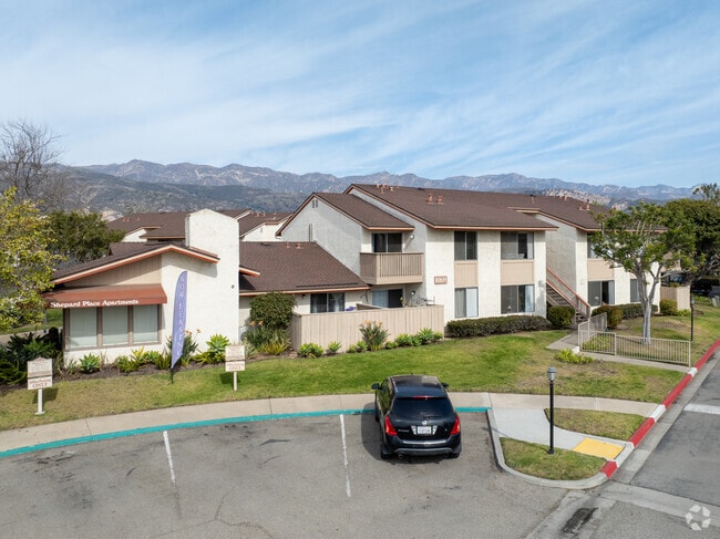

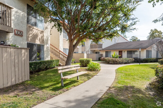
Property Detail
1069 Casitas Pass Rd
Santa Maria-Santa Barbara, CA
Santa Barbara
001-070-057
California
Apartment
1
B and X Area of moderate flood hazard, usually the area between the limits of the 100-year and 500-year floods.
7.36 AC
2024
East Santa Barbara
2025
Santa Barbara/Sta Maria/Goleta
001604
NEARBY LISTINGS FOR SALE OR LEASE
-
-
View all Carpinteria listings for sale on LoopNet.com
DEMOGRAPHICS near 1069 Casitas Pass Rd
1 mile
3 mile
5 mile
2025 Total Population
10,724
15,763
18,395
2030 Population
10,860
15,902
18,535
Pop Growth 2025-2030
+ 1.27%
+ 0.88%
+ 0.76%
Average Age
42
43
43
2025 Total Households
4,019
5,967
7,040
HH Growth 2025-2030
+ 1.54%
+ 1.07%
+ 0.91%
Median Household Inc
$94,444
$98,177
$101,036
Avg Household Size
2.60
2.60
2.50
2025 Avg HH Vehicles
2.00
2.00
2.00
Median Home Value
$1,063,586
$1,048,991
$1,057,664
Median Year Built
1971
1973
1974
Nearby Places
Map Layers
Map Styles
 Street
 Aerial
Transit
 Traffic
 Biking
Places
Listings with unknown addresses are not visible on the map
- Restaurants
- Banks
- Shops
- Fitness
- Groceries
PUBLIC TRANSPORTATION
COMMUTER RAIL
Carpinteria Amtrak (Pacific Surfliner - Amtrak)
Drive
Walk
Distance
Carpinteria Amtrak (Pacific Surfliner - Amtrak)
3 min
14 min
0.7 mi
AIRPORT
Santa Barbara Municipal
Drive
Walk
Distance
Santa Barbara Municipal
42 min
24.1 mi
Freight Ports
The Port of Hueneme
Drive
Walk
Distance
The Port of Hueneme
40 min
28.6 mi
Nearby Properties
Address
Land Use
TOTAL SIZE
Lot Size
Zoning
Address
Land Use
TOTAL SIZE
Lot Size
Zoning
122.70 AC
AGI10
Address
Land Use
TOTAL SIZE
Lot Size
Zoning
Address
Land Use
TOTAL SIZE
Lot Size
Zoning
Address
Land Use
TOTAL SIZE
Lot Size
Zoning
2.68 AC
AGI5
Address
Land Use
TOTAL SIZE
Lot Size
Zoning
Address
Land Use
TOTAL SIZE
Lot Size
Zoning
19,602 SF
0.45 AC
Address
Land Use
TOTAL SIZE
Lot Size
Zoning
Address
Land Use
TOTAL SIZE
Lot Size
Zoning
Address
Land Use
TOTAL SIZE
Lot Size
Zoning
14.66 AC
AGI10
Address
Land Use
TOTAL SIZE
Lot Size
Zoning
11.60 AC
AGI10
Address
Land Use
TOTAL SIZE
Lot Size
Zoning
Address
Land Use
TOTAL SIZE
Lot Size
Zoning
1,368 SF
12.28 AC
AGI10
Address
Land Use
TOTAL SIZE
Lot Size
Zoning
8,010 SF
10 AC
AGI10
Address
Land Use
TOTAL SIZE
Lot Size
Zoning
Address
Land Use
TOTAL SIZE
Lot Size
Zoning
1.95 AC
Address
Land Use
TOTAL SIZE
Lot Size
Zoning
0.70 AC
Address
Land Use
TOTAL SIZE
Lot Size
Zoning
Address
Land Use
TOTAL SIZE
Lot Size
Zoning
19 AC
AGI10
Address
Land Use
TOTAL SIZE
Lot Size
Zoning
1,930 SF
105.82 AC
AGI40
Address
Land Use
TOTAL SIZE
Lot Size
Zoning
Address
Land Use
TOTAL SIZE
Lot Size
Zoning
Address
Land Use
TOTAL SIZE
Lot Size
Zoning
2.69 AC
Address
Land Use
TOTAL SIZE
Lot Size
Zoning
4.46 AC
Address
Land Use
TOTAL SIZE
Lot Size
Zoning
5,318 SF
77.81 AC
AGI40
Address
Land Use
TOTAL SIZE
Lot Size
Zoning
1.28 AC
Address
Land Use
TOTAL SIZE
Lot Size
Zoning
1.59 AC
Address
Land Use
TOTAL SIZE
Lot Size
Zoning
3.77 AC
Address
Land Use
TOTAL SIZE
Lot Size
Zoning
10,999 SF
12.52 AC
AGI10
Address
Land Use
TOTAL SIZE
Lot Size
Zoning
5,171 SF
13.09 AC
3E1
The World's #1 Commercial Real Estate Marketplace
Connect with us
© 2026 CoStar Group
The information above has been obtained from sources believed reliable. While we do not doubt its accuracy we have not verified it and make no guarantee, warranty or representation about it. It is your responsibility to independently confirm its accuracy and completeness. Any projections, opinions, assumptions, or estimates used are for example only and do not represent the current or future performance of the property. The value of this transaction to you depends on tax and other factors which should be evaluated by your tax, financial, and legal advisors. You and your advisors should conduct a careful, independent investigation of the property to determine to your satisfaction the suitability of the property for your needs.