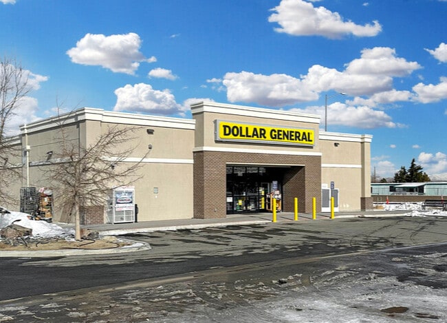
Property Record
10695 Stead Blvd, Reno, NV 89506

Property Detail
10695 Stead Blvd
554-020-02
PM 5071 PAR A-2 (ROS 5480)
Commercialnec
Washoe
MS
Nevada
B and X Area of moderate flood hazard, usually the area between the limits of the 100-year and 500-year floods.
a-2
0
0.84 AC
2026
North Valleys
002610
Reno/Sparks
9,184 SF
Reno, NV
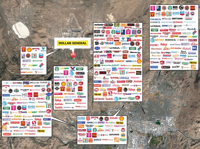
NEARBY LISTINGS FOR SALE OR LEASE
DEMOGRAPHICS near 10695 Stead Blvd
1 mile
3 mile
5 mile
2025 Total Population
12,774
34,996
47,821
2030 Population
13,115
36,352
49,329
Pop Growth 2025-2030
+ 2.67%
+ 3.87%
+ 3.15%
Average Age
36
37
38
2025 Total Households
4,310
11,857
16,198
HH Growth 2025-2030
+ 2.76%
+ 3.91%
+ 3.20%
Median Household Inc
$85,612
$85,652
$86,702
Avg Household Size
2.90
2.90
2.80
2025 Avg HH Vehicles
2.00
2.00
2.00
Median Home Value
$387,300
$413,904
$428,022
Median Year Built
2001
2000
1999
Nearby Places
Map Layers
Map Styles
 Street
 Aerial
Transit
 Traffic
 Biking
Places
Listings with unknown addresses are not visible on the map
- Restaurants
- Banks
- Shops
- Fitness
- Groceries
PUBLIC TRANSPORTATION
AIRPORT
Reno/Tahoe International
Drive
Walk
Distance
Reno/Tahoe International
33 min
14.6 mi
Freight Ports
Port of Stockton
Drive
Walk
Distance
Port of Stockton
218 min
188.9 mi
SALE & LEASE HISTORY
LISTING DATE
SALE/LEASE

Feb 27, 2023
For Sale
Nearby Properties
Address
Land Use
TOTAL SIZE
Lot Size
Zoning
Address
Land Use
TOTAL SIZE
Lot Size
Zoning
371,855 SF
39.61 AC
MF14
Address
Land Use
TOTAL SIZE
Lot Size
Zoning
402,421 SF
45.18 AC
GC
Address
Land Use
TOTAL SIZE
Lot Size
Zoning
334,980 SF
13.52 AC
GC
Address
Land Use
TOTAL SIZE
Lot Size
Zoning
902,786 SF
57.98 AC
IC
Address
Land Use
TOTAL SIZE
Lot Size
Zoning
790,500 SF
74.63 AC
I
Address
Land Use
TOTAL SIZE
Lot Size
Zoning
799,980 SF
44.67 AC
IC
Address
Land Use
TOTAL SIZE
Lot Size
Zoning
622,807 SF
45.97 AC
IC
Address
Land Use
TOTAL SIZE
Lot Size
Zoning
624,000 SF
39.35 AC
MS
Address
Land Use
TOTAL SIZE
Lot Size
Zoning
770,330 SF
58.46 AC
PD
Address
Land Use
TOTAL SIZE
Lot Size
Zoning
722,512 SF
43.90 AC
IC
Address
Land Use
TOTAL SIZE
Lot Size
Zoning
706,540 SF
35.45 AC
IC
Address
Land Use
TOTAL SIZE
Lot Size
Zoning
1,629,177 SF
129.51 AC
MS
Address
Land Use
TOTAL SIZE
Lot Size
Zoning
215,893 SF
33.79 AC
PF
Address
Land Use
TOTAL SIZE
Lot Size
Zoning
409,829 SF
25.46 AC
IC
Address
Land Use
TOTAL SIZE
Lot Size
Zoning
530,693 SF
48.34 AC
IC
Address
Land Use
TOTAL SIZE
Lot Size
Zoning
10,255 SF
45.62 AC
PF
Address
Land Use
TOTAL SIZE
Lot Size
Zoning
144,098 SF
36.23 AC
IC 98% / M
Address
Land Use
TOTAL SIZE
Lot Size
Zoning
1,122,960 SF
218.48 AC
MA
Address
Land Use
TOTAL SIZE
Lot Size
Zoning
405,270 SF
24.86 AC
IC
Address
Land Use
TOTAL SIZE
Lot Size
Zoning
462,722 SF
38.34 AC
I
Address
Land Use
TOTAL SIZE
Lot Size
Zoning
545,550 SF
24.77 AC
I
Address
Land Use
TOTAL SIZE
Lot Size
Zoning
676,431 SF
32.10 AC
I
Address
Land Use
TOTAL SIZE
Lot Size
Zoning
421,970 SF
66.81 AC
I
Address
Land Use
TOTAL SIZE
Lot Size
Zoning
402,320 SF
28.27 AC
MS
Address
Land Use
TOTAL SIZE
Lot Size
Zoning
357,500 SF
18.98 AC
IC
Address
Land Use
TOTAL SIZE
Lot Size
Zoning
806,920 SF
33.38 AC
I
Address
Land Use
TOTAL SIZE
Lot Size
Zoning
352,720 SF
22.25 AC
IC
Address
Land Use
TOTAL SIZE
Lot Size
Zoning
224,504 SF
22.46 AC
MF14
Address
Land Use
TOTAL SIZE
Lot Size
Zoning
259,740 SF
12.49 AC
IC
Address
Land Use
TOTAL SIZE
Lot Size
Zoning
187,275 SF
32.99 AC
I
The World's #1 Commercial Real Estate Marketplace
Connect with us
© 2026 CoStar Group
The information above has been obtained from sources believed reliable. While we do not doubt its accuracy we have not verified it and make no guarantee, warranty or representation about it. It is your responsibility to independently confirm its accuracy and completeness. Any projections, opinions, assumptions, or estimates used are for example only and do not represent the current or future performance of the property. The value of this transaction to you depends on tax and other factors which should be evaluated by your tax, financial, and legal advisors. You and your advisors should conduct a careful, independent investigation of the property to determine to your satisfaction the suitability of the property for your needs.