Property Record
101 Boggs Rd, Villa Rica, GA 30180

NEARBY LISTINGS FOR SALE OR LEASE
Property Detail
101 Boggs Rd
7025-01-4-0-002
Grover Swilley Surv
Commercialacreage
V/40.14 ACRES +/-, U.S. HWY 78
A
Douglas
13097C0107D
Georgia
2024
40.14 AC
2024
Villa Rica/West Outlying
080403
Atlanta
35,200 SF
Atlanta-Sandy Springs-Roswell, GA
DEMOGRAPHICS near 101 Boggs Rd
1 Mile
3 Mile
5 Mile
2024 Total Population
3,391
18,372
39,412
2029 Population
3,581
20,066
43,205
Pop Growth 2024-2029
+ 5.60%
+ 9.22%
+ 9.62%
Average Age
38
36
37
2024 Total Households
1,238
6,571
13,870
HH Growth 2024-2029
+ 5.82%
+ 9.50%
+ 9.83%
Median Household Inc
$82,574
$71,034
$70,044
Avg Household Size
2.70
2.80
2.80
2024 Avg HH Vehicles
2.00
2.00
2.00
Median Home Value
$230,833
$234,369
$219,385
Median Year Built
2005
2003
2000
Nearby Places
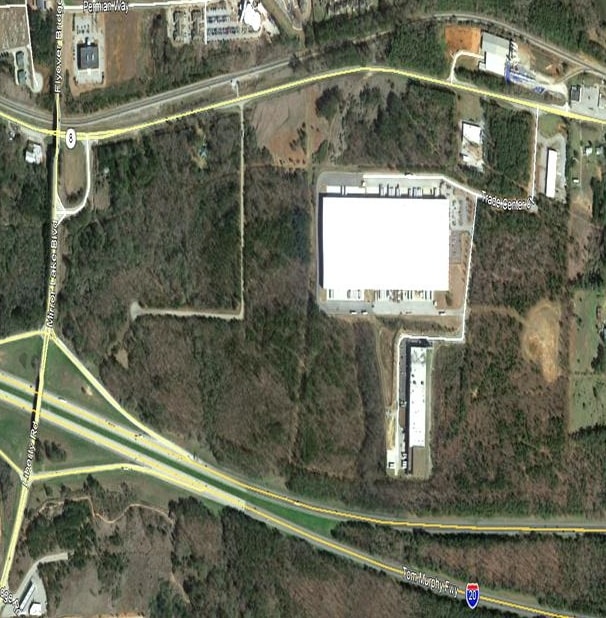
Map Layers
Map Styles
 Street
 Aerial
- Restaurants
- Banks
- Shops
- Fitness
- Groceries
PUBLIC TRANSPORTATION
AIRPORT
Hartsfield - Jackson Atlanta International
DRIVE
WALK
Distance
Hartsfield - Jackson Atlanta International
56 min
41.3 mi
Freight Ports
Georgia Ports - Savannah
DRIVE
WALK
Distance
Georgia Ports - Savannah
319 min
280.7 mi
SALE & LEASE HISTORY
LISTING DATE
SALE/LEASE

Apr 03, 2019
For Sale
Nearby Properties
Address
Land Use
TOTAL SIZE
Lot Size
Zoning
Address
Land Use
TOTAL SIZE
Lot Size
Zoning
143,620 SF
12.14 AC
GC
Address
Land Use
TOTAL SIZE
Lot Size
Zoning
54,539 SF
9.68 AC
R14
Address
Land Use
TOTAL SIZE
Lot Size
Zoning
41,677 SF
16.13 AC
A
Address
Land Use
TOTAL SIZE
Lot Size
Zoning
422,128 SF
36.83 AC
PUD
Address
Land Use
TOTAL SIZE
Lot Size
Zoning
397,150 SF
32.04 AC
PUD
Address
Land Use
TOTAL SIZE
Lot Size
Zoning
10,990 SF
20.40 AC
R14
Address
Land Use
TOTAL SIZE
Lot Size
Zoning
161,070 SF
12.72 AC
002
Address
Land Use
TOTAL SIZE
Lot Size
Zoning
98,391 SF
6.66 AC
GC
Address
Land Use
TOTAL SIZE
Lot Size
Zoning
211,500 SF
32.04 AC
PUD
Address
Land Use
TOTAL SIZE
Lot Size
Zoning
28,304 SF
13.83 AC
GC
Address
Land Use
TOTAL SIZE
Lot Size
Zoning
15,949 SF
9.01 AC
R14
Address
Land Use
TOTAL SIZE
Lot Size
Zoning
164,061 SF
16.96 AC
GC
Address
Land Use
TOTAL SIZE
Lot Size
Zoning
111,860 SF
12.29 AC
Address
Land Use
TOTAL SIZE
Lot Size
Zoning
266,422 SF
16.35 AC
GI
Address
Land Use
TOTAL SIZE
Lot Size
Zoning
77,285 SF
11.22 AC
C-
Address
Land Use
TOTAL SIZE
Lot Size
Zoning
11,454 SF
1.77 AC
GC
Address
Land Use
TOTAL SIZE
Lot Size
Zoning
103,129 SF
19.50 AC
GC
Address
Land Use
TOTAL SIZE
Lot Size
Zoning
28,751 SF
6.40 AC
R14
Address
Land Use
TOTAL SIZE
Lot Size
Zoning
47,291 SF
19.48 AC
GC
Address
Land Use
TOTAL SIZE
Lot Size
Zoning
37,020 SF
3.69 AC
Address
Land Use
TOTAL SIZE
Lot Size
Zoning
90,750 SF
10.81 AC
Address
Land Use
TOTAL SIZE
Lot Size
Zoning
106,400 SF
19.70 AC
PUD
Address
Land Use
TOTAL SIZE
Lot Size
Zoning
67,500 SF
20.77 AC
GI
Address
Land Use
TOTAL SIZE
Lot Size
Zoning
83,106 SF
7.70 AC
GI
Address
Land Use
TOTAL SIZE
Lot Size
Zoning
374,522 SF
22.37 AC
GI
Address
Land Use
TOTAL SIZE
Lot Size
Zoning
23.41 AC
GI
Address
Land Use
TOTAL SIZE
Lot Size
Zoning
31,400 SF
6.06 AC
GC
Address
Land Use
TOTAL SIZE
Lot Size
Zoning
64,506 SF
9.05 AC
GC
Address
Land Use
TOTAL SIZE
Lot Size
Zoning
29,165 SF
10.35 AC
R20
Address
Land Use
TOTAL SIZE
Lot Size
Zoning
94,275 SF
9.58 AC
LI
The World's #1 Commercial Real Estate Marketplace
Connect with us
© 2025 CoStar Group
The information above has been obtained from sources believed reliable. While we do not doubt its accuracy we have not verified it and make no guarantee, warranty or representation about it. It is your responsibility to independently confirm its accuracy and completeness. Any projections, opinions, assumptions, or estimates used are for example only and do not represent the current or future performance of the property. The value of this transaction to you depends on tax and other factors which should be evaluated by your tax, financial, and legal advisors. You and your advisors should conduct a careful, independent investigation of the property to determine to your satisfaction the suitability of the property for your needs.