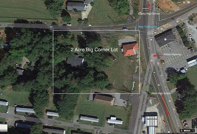
Property Record
107 E Church Rd, Easley, SC 29642

Property Detail
107 E Church Rd
Greenville-Anderson-Greer, SC
CP 000/000 F145 D213 PP 112/562 PT LT 14 E CHURCH RD
162-00-04-003
ANDERSON
Agriculturalland
South Carolina
B and X Area of moderate flood hazard, usually the area between the limits of the 100-year and 500-year floods.
14
2025
0.71 AC
2025
Anderson County
010108
Greenville/Spartanburg
NEARBY LISTINGS FOR SALE OR LEASE
-
-
View all Easley listings for sale on LoopNet.com
DEMOGRAPHICS near 107 E Church Rd
1 mile
3 mile
5 mile
2025 Total Population
2,396
19,143
54,752
2030 Population
2,530
20,123
57,405
Pop Growth 2025-2030
+ 5.59%
+ 5.12%
+ 4.85%
Average Age
40
42
41
2025 Total Households
856
7,173
21,407
HH Growth 2025-2030
+ 6.07%
+ 5.45%
+ 5.13%
Median Household Inc
$81,796
$77,535
$70,987
Avg Household Size
2.80
2.60
2.50
2025 Avg HH Vehicles
2.00
2.00
2.00
Median Home Value
$299,575
$303,350
$277,873
Median Year Built
1997
1994
1991
Nearby Places
Map Layers
Map Styles
 Street
 Aerial
Transit
 Traffic
 Biking
Places
Listings with unknown addresses are not visible on the map
- Restaurants
- Banks
- Shops
- Fitness
- Groceries
PUBLIC TRANSPORTATION
AIRPORT
Greenville Spartanburg International
Drive
Walk
Distance
Greenville Spartanburg International
41 min
26.9 mi
Nearby Properties
Address
Land Use
TOTAL SIZE
Lot Size
Zoning
Address
Land Use
TOTAL SIZE
Lot Size
Zoning
9,800 SF
5.94 AC
R10
Address
Land Use
TOTAL SIZE
Lot Size
Zoning
162.06 AC
R10
Address
Land Use
TOTAL SIZE
Lot Size
Zoning
177,695 SF
20.43 AC
Address
Land Use
TOTAL SIZE
Lot Size
Zoning
1,532 SF
9.03 AC
GR2
Address
Land Use
TOTAL SIZE
Lot Size
Zoning
8.75 AC
Address
Land Use
TOTAL SIZE
Lot Size
Zoning
3.98 AC
NEIGHBORHO
Address
Land Use
TOTAL SIZE
Lot Size
Zoning
1,800 SF
6.23 AC
Address
Land Use
TOTAL SIZE
Lot Size
Zoning
27.43 AC
R 10 ONE F
Address
Land Use
TOTAL SIZE
Lot Size
Zoning
16,290 SF
4.68 AC
Address
Land Use
TOTAL SIZE
Lot Size
Zoning
1,904 SF
17.74 AC
R10
Address
Land Use
TOTAL SIZE
Lot Size
Zoning
45.87 AC
Address
Land Use
TOTAL SIZE
Lot Size
Zoning
112,124 SF
15.36 AC
GENERAL CO
Address
Land Use
TOTAL SIZE
Lot Size
Zoning
56,786 SF
10.92 AC
GENERAL CO
Address
Land Use
TOTAL SIZE
Lot Size
Zoning
135,024 SF
10.50 AC
RM 2 TWO F
Address
Land Use
TOTAL SIZE
Lot Size
Zoning
5,320 SF
1.31 AC
Address
Land Use
TOTAL SIZE
Lot Size
Zoning
13.60 AC
Address
Land Use
TOTAL SIZE
Lot Size
Zoning
78,800 SF
7.94 AC
GENERAL RE
Address
Land Use
TOTAL SIZE
Lot Size
Zoning
6.49 AC
Address
Land Use
TOTAL SIZE
Lot Size
Zoning
5,730 SF
126.67 AC
R 10 ONE F
Address
Land Use
TOTAL SIZE
Lot Size
Zoning
29.30 AC
Address
Land Use
TOTAL SIZE
Lot Size
Zoning
8.03 AC
IND
Address
Land Use
TOTAL SIZE
Lot Size
Zoning
3.75 AC
R10
Address
Land Use
TOTAL SIZE
Lot Size
Zoning
31,002 SF
6 AC
GENERAL CO
Address
Land Use
TOTAL SIZE
Lot Size
Zoning
14.11 AC
Address
Land Use
TOTAL SIZE
Lot Size
Zoning
9.05 AC
R 10 ONE F
Address
Land Use
TOTAL SIZE
Lot Size
Zoning
24,296 SF
6.31 AC
GENERAL RE
Address
Land Use
TOTAL SIZE
Lot Size
Zoning
8,480 SF
2.66 AC
R10
Address
Land Use
TOTAL SIZE
Lot Size
Zoning
41.48 AC
GC
Address
Land Use
TOTAL SIZE
Lot Size
Zoning
2.28 AC
GC
Address
Land Use
TOTAL SIZE
Lot Size
Zoning
12.27 AC
The World's #1 Commercial Real Estate Marketplace
Connect with us
© 2026 CoStar Group
The information above has been obtained from sources believed reliable. While we do not doubt its accuracy we have not verified it and make no guarantee, warranty or representation about it. It is your responsibility to independently confirm its accuracy and completeness. Any projections, opinions, assumptions, or estimates used are for example only and do not represent the current or future performance of the property. The value of this transaction to you depends on tax and other factors which should be evaluated by your tax, financial, and legal advisors. You and your advisors should conduct a careful, independent investigation of the property to determine to your satisfaction the suitability of the property for your needs.