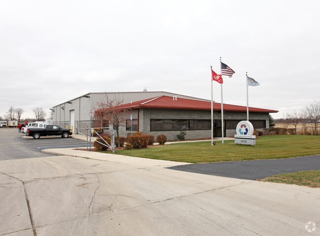
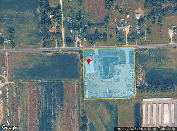
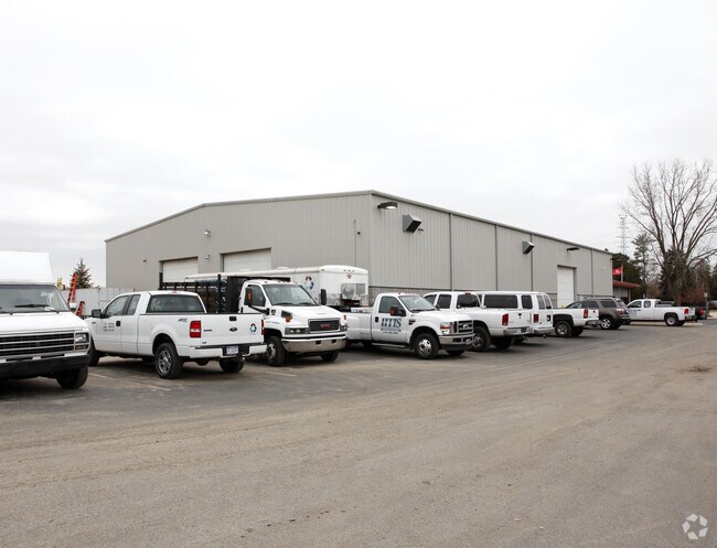
Property Record
10750 Martz Rd, Ypsilanti, MI 48197
NEARBY LISTINGS FOR SALE OR LEASE
Property Detail
10750 Martz Rd
11-36-400-016
COM AT E 1/4 COR SEC 36, TH S 87-40-28 W 809.45' TO POB. TH S 02-13-48 E 503.95', TH S 87-40-28 W 520.00', TH N 02-13-48 W
Commercialnec
Washtenaw
X
Michigan
26161C0445E
6.02 AC
0
Washtenaw E of 23
2025
Detroit
413200
Ann Arbor, MI
DEMOGRAPHICS near 10750 Martz Rd
1 Mile
3 Mile
5 Mile
2024 Total Population
2,513
24,723
65,824
2029 Population
2,515
24,478
64,640
Pop Growth 2024-2029
+ 0.08%
(0.99%)
(1.80%)
Average Age
41
40
40
2024 Total Households
970
10,185
26,925
HH Growth 2024-2029
(0.10%)
(1.16%)
(1.90%)
Median Household Inc
$66,611
$72,061
$67,863
Avg Household Size
2.50
2.40
2.40
2024 Avg HH Vehicles
2.00
2.00
2.00
Median Home Value
$174,733
$223,445
$210,664
Median Year Built
1991
1986
1978
Nearby Places
Map Layers
Map Styles
 Street
 Aerial
- Restaurants
- Banks
- Shops
- Fitness
- Groceries
PUBLIC TRANSPORTATION
AIRPORT
Detroit Metro Wayne County
DRIVE
WALK
Distance
Detroit Metro Wayne County
25 min
16.9 mi
Windsor International
DRIVE
WALK
Distance
Windsor International
62 min
42.5 mi
Freight Ports
DRIVE
WALK
Distance
71 min
56.8 mi
Nearby Properties
Address
Land Use
TOTAL SIZE
Lot Size
Zoning
Address
Land Use
TOTAL SIZE
Lot Size
Zoning
38,001 SF
177.04 AC
BA
Address
Land Use
TOTAL SIZE
Lot Size
Zoning
11,847 SF
91.35 AC
II
Address
Land Use
TOTAL SIZE
Lot Size
Zoning
97.69 AC
Address
Land Use
TOTAL SIZE
Lot Size
Zoning
198,549 SF
13.43 AC
RM MULT
Address
Land Use
TOTAL SIZE
Lot Size
Zoning
196,044 SF
18.67 AC
RM MULT
Address
Land Use
TOTAL SIZE
Lot Size
Zoning
1,960 SF
59.97 AC
Address
Land Use
TOTAL SIZE
Lot Size
Zoning
161,042 SF
26.29 AC
II
Address
Land Use
TOTAL SIZE
Lot Size
Zoning
12,747 SF
7.37 AC
BA
Address
Land Use
TOTAL SIZE
Lot Size
Zoning
126,711 SF
12.74 AC
Address
Land Use
TOTAL SIZE
Lot Size
Zoning
29,610 SF
9.10 AC
BA
Address
Land Use
TOTAL SIZE
Lot Size
Zoning
134,499 SF
6.20 AC
BA
Address
Land Use
TOTAL SIZE
Lot Size
Zoning
1,744 SF
41.75 AC
BI
Address
Land Use
TOTAL SIZE
Lot Size
Zoning
72,834 SF
4.97 AC
RM MULT
Address
Land Use
TOTAL SIZE
Lot Size
Zoning
1,680 SF
20 AC
II
Address
Land Use
TOTAL SIZE
Lot Size
Zoning
73,239 SF
6.18 AC
RM MULT
Address
Land Use
TOTAL SIZE
Lot Size
Zoning
54.32 AC
RMH MOB
Address
Land Use
TOTAL SIZE
Lot Size
Zoning
80.11 AC
Address
Land Use
TOTAL SIZE
Lot Size
Zoning
89,778 SF
9.65 AC
C1 GEN
Address
Land Use
TOTAL SIZE
Lot Size
Zoning
36,200 SF
15.23 AC
Address
Land Use
TOTAL SIZE
Lot Size
Zoning
51,840 SF
9.07 AC
Address
Land Use
TOTAL SIZE
Lot Size
Zoning
16,414 SF
7.66 AC
BA
Address
Land Use
TOTAL SIZE
Lot Size
Zoning
4,442 SF
42.38 AC
RMH MOB
Address
Land Use
TOTAL SIZE
Lot Size
Zoning
224,938 SF
19.42 AC
C1 GEN
Address
Land Use
TOTAL SIZE
Lot Size
Zoning
52,644 SF
5.59 AC
RM MULT
Address
Land Use
TOTAL SIZE
Lot Size
Zoning
35,440 SF
12.36 AC
Address
Land Use
TOTAL SIZE
Lot Size
Zoning
6,000 SF
15 AC
DI
Address
Land Use
TOTAL SIZE
Lot Size
Zoning
35.89 AC
RMH MOB
Address
Land Use
TOTAL SIZE
Lot Size
Zoning
20 AC
DI
Address
Land Use
TOTAL SIZE
Lot Size
Zoning
8,580 SF
28.50 AC
Address
Land Use
TOTAL SIZE
Lot Size
Zoning
5,515 SF
89.67 AC
BLANK
The World's #1 Commercial Real Estate Marketplace
Connect with us
© 2026 CoStar Group
The information above has been obtained from sources believed reliable. While we do not doubt its accuracy we have not verified it and make no guarantee, warranty or representation about it. It is your responsibility to independently confirm its accuracy and completeness. Any projections, opinions, assumptions, or estimates used are for example only and do not represent the current or future performance of the property. The value of this transaction to you depends on tax and other factors which should be evaluated by your tax, financial, and legal advisors. You and your advisors should conduct a careful, independent investigation of the property to determine to your satisfaction the suitability of the property for your needs.