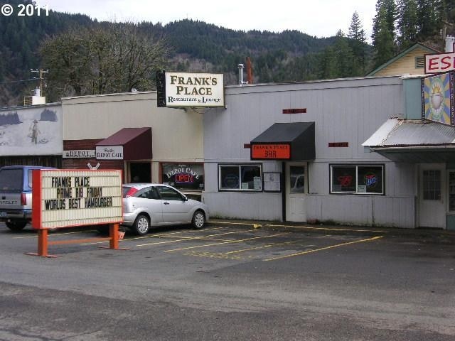
Property Record
10786 Highway 126, Mapleton, OR 97453


Property Detail
10786 Highway 126
Eugene-Springfield, OR
TL 00200
0764207
Lane
Commercialbuilding
Oregon
RC
200
AE The base floodplain where base flood elevations are provided. AE Zones are now used on new format FIRMs instead of A1-A30 Zones.
0.14 AC
2025
Lane County
2025
Portland
000500
NEARBY LISTINGS FOR SALE OR LEASE
-
-
View all Mapleton listings for sale on LoopNet.com
DEMOGRAPHICS near 10786 Highway 126
1 mile
3 mile
5 mile
2024 Total Population
654
1,055
1,531
2029 Population
675
1,093
1,589
Pop Growth 2024-2029
+ 3.21%
+ 3.60%
+ 3.79%
Average Age
48
48
48
2024 Total Households
281
460
675
HH Growth 2024-2029
+ 3.20%
+ 3.48%
+ 3.70%
Median Household Inc
$54,807
$54,079
$54,322
Avg Household Size
2.30
2.30
2.30
2024 Avg HH Vehicles
2.00
2.00
2.00
Median Home Value
$446,296
$410,714
$390,789
Median Year Built
1972
1971
1971
Nearby Places
Map Layers
Map Styles
 Street
 Aerial
Transit
 Traffic
 Biking
Places
Listings with unknown addresses are not visible on the map
- Restaurants
- Banks
- Shops
- Fitness
- Groceries
PUBLIC TRANSPORTATION
AIRPORT
Mahlon Sweet Field
Drive
Walk
Distance
Mahlon Sweet Field
66 min
44.7 mi
Freight Ports
Port of Coos Bay, OR
Drive
Walk
Distance
Port of Coos Bay, OR
95 min
62.4 mi
Nearby Properties
Address
Land Use
TOTAL SIZE
Lot Size
Zoning
Address
Land Use
TOTAL SIZE
Lot Size
Zoning
24.04 AC
F2
Address
Land Use
TOTAL SIZE
Lot Size
Zoning
6,196 SF
52.39 AC
RC
Address
Land Use
TOTAL SIZE
Lot Size
Zoning
Address
Land Use
TOTAL SIZE
Lot Size
Zoning
510 SF
5 AC
PR
Address
Land Use
TOTAL SIZE
Lot Size
Zoning
1.19 AC
RR1
Address
Land Use
TOTAL SIZE
Lot Size
Zoning
640 AC
F1
Address
Land Use
TOTAL SIZE
Lot Size
Zoning
360 AC
F1
Address
Land Use
TOTAL SIZE
Lot Size
Zoning
4,572 SF
5 AC
F1
Address
Land Use
TOTAL SIZE
Lot Size
Zoning
3,051 SF
2.45 AC
F2
Address
Land Use
TOTAL SIZE
Lot Size
Zoning
8.73 AC
F2
Address
Land Use
TOTAL SIZE
Lot Size
Zoning
545.63 AC
E40
Address
Land Use
TOTAL SIZE
Lot Size
Zoning
390.80 AC
F1
Address
Land Use
TOTAL SIZE
Lot Size
Zoning
240 AC
F1
Address
Land Use
TOTAL SIZE
Lot Size
Zoning
4,268 SF
5 AC
E40
Address
Land Use
TOTAL SIZE
Lot Size
Zoning
4,010 SF
45.77 AC
E40
Address
Land Use
TOTAL SIZE
Lot Size
Zoning
2,626 SF
5 AC
F1
Address
Land Use
TOTAL SIZE
Lot Size
Zoning
554.12 AC
E40
Address
Land Use
TOTAL SIZE
Lot Size
Zoning
2,772 SF
5 AC
F1
Address
Land Use
TOTAL SIZE
Lot Size
Zoning
240 AC
F1
Address
Land Use
TOTAL SIZE
Lot Size
Zoning
2.97 AC
F2
Address
Land Use
TOTAL SIZE
Lot Size
Zoning
1.34 AC
RC
Address
Land Use
TOTAL SIZE
Lot Size
Zoning
1.51 AC
RC
Address
Land Use
TOTAL SIZE
Lot Size
Zoning
221.65 AC
E40
Address
Land Use
TOTAL SIZE
Lot Size
Zoning
2,092 SF
5 AC
F1
Address
Land Use
TOTAL SIZE
Lot Size
Zoning
1.10 AC
RC
Address
Land Use
TOTAL SIZE
Lot Size
Zoning
0.67 AC
RC
Address
Land Use
TOTAL SIZE
Lot Size
Zoning
5,203 SF
5 AC
F1
Address
Land Use
TOTAL SIZE
Lot Size
Zoning
0.43 AC
RC
Address
Land Use
TOTAL SIZE
Lot Size
Zoning
0.18 AC
RC
Address
Land Use
TOTAL SIZE
Lot Size
Zoning
3.91 AC
RC
The World's #1 Commercial Real Estate Marketplace
Connect with us
© 2026 CoStar Group
The information above has been obtained from sources believed reliable. While we do not doubt its accuracy we have not verified it and make no guarantee, warranty or representation about it. It is your responsibility to independently confirm its accuracy and completeness. Any projections, opinions, assumptions, or estimates used are for example only and do not represent the current or future performance of the property. The value of this transaction to you depends on tax and other factors which should be evaluated by your tax, financial, and legal advisors. You and your advisors should conduct a careful, independent investigation of the property to determine to your satisfaction the suitability of the property for your needs.