Property Record
1079 Johnson Rd Sw, Conyers, GA 30094
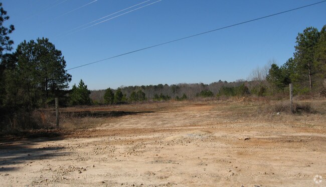

Property Detail
1079 Johnson Rd Sw
Atlanta-Sandy Springs-Roswell, GA
JOHNSON ROAD
044-0-01-044D
ROCKDALE
Commercialacreage
Georgia
RM
267
B and X Area of moderate flood hazard, usually the area between the limits of the 100-year and 500-year floods.
5 AC
2025
I-20 East/Conyers
2025
Atlanta
060411
NEARBY LISTINGS FOR SALE OR LEASE
DEMOGRAPHICS near 1079 Johnson Rd Sw
1 mile
3 mile
5 mile
2025 Total Population
3,081
36,408
85,298
2030 Population
3,236
37,987
88,836
Pop Growth 2025-2030
+ 5.03%
+ 4.34%
+ 4.15%
Average Age
38
39
39
2025 Total Households
1,139
13,374
30,774
HH Growth 2025-2030
+ 5.36%
+ 4.55%
+ 4.24%
Median Household Inc
$78,779
$68,347
$77,767
Avg Household Size
2.70
2.60
2.70
2025 Avg HH Vehicles
2.00
2.00
2.00
Median Home Value
$259,999
$263,861
$285,035
Median Year Built
1982
1987
1991
Nearby Places
Map Layers
Map Styles
 Street
 Aerial
Layers
 Traffic
 Biking
Places
Listings with unknown addresses are not visible on the map
- Restaurants
- Banks
- Shops
- Fitness
- Groceries
PUBLIC TRANSPORTATION
AIRPORT
Hartsfield - Jackson Atlanta International
Drive
Walk
Distance
Hartsfield - Jackson Atlanta International
38 min
27.9 mi
Freight Ports
Georgia Ports - Savannah
Drive
Walk
Distance
Georgia Ports - Savannah
278 min
240.7 mi
SALE & LEASE HISTORY
LISTING DATE
SALE/LEASE

Sep 24, 2016
For Sale
Oct 28, 2016
For Sale
Nearby Properties
Address
Land Use
TOTAL SIZE
Lot Size
Zoning
Address
Land Use
TOTAL SIZE
Lot Size
Zoning
6,092 SF
37.63 AC
RM
Address
Land Use
TOTAL SIZE
Lot Size
Zoning
5,212 SF
21.33 AC
GV-UV
Address
Land Use
TOTAL SIZE
Lot Size
Zoning
2,782 SF
29.51 AC
R3/C
Address
Land Use
TOTAL SIZE
Lot Size
Zoning
22,362 SF
28.90 AC
MXD
Address
Land Use
TOTAL SIZE
Lot Size
Zoning
458,448 SF
12.98 AC
OI
Address
Land Use
TOTAL SIZE
Lot Size
Zoning
140,292 SF
23.74 AC
HSB
Address
Land Use
TOTAL SIZE
Lot Size
Zoning
290,616 SF
23.84 AC
M-1
Address
Land Use
TOTAL SIZE
Lot Size
Zoning
28,024 SF
11.24 AC
R1
Address
Land Use
TOTAL SIZE
Lot Size
Zoning
3,046 SF
32.01 AC
RM
Address
Land Use
TOTAL SIZE
Lot Size
Zoning
55,928 SF
14.63 AC
BN
Address
Land Use
TOTAL SIZE
Lot Size
Zoning
20,964 SF
25.29 AC
R3/C
Address
Land Use
TOTAL SIZE
Lot Size
Zoning
165,171 SF
49.79 AC
BG/ID
Address
Land Use
TOTAL SIZE
Lot Size
Zoning
3,066 SF
22.44 AC
R3/R1
Address
Land Use
TOTAL SIZE
Lot Size
Zoning
8,268 SF
46.94 AC
R3
Address
Land Use
TOTAL SIZE
Lot Size
Zoning
3,648 SF
26.50 AC
R3/R1
Address
Land Use
TOTAL SIZE
Lot Size
Zoning
417,378 SF
31.95 AC
M1
Address
Land Use
TOTAL SIZE
Lot Size
Zoning
77,600 SF
9 AC
GVUV
Address
Land Use
TOTAL SIZE
Lot Size
Zoning
216,855 SF
42.21 AC
AR
Address
Land Use
TOTAL SIZE
Lot Size
Zoning
3,888 SF
21.05 AC
RM/C
Address
Land Use
TOTAL SIZE
Lot Size
Zoning
140,850 SF
19.09 AC
ID
Address
Land Use
TOTAL SIZE
Lot Size
Zoning
6,561 SF
7.49 AC
GVUV
Address
Land Use
TOTAL SIZE
Lot Size
Zoning
472,620 SF
55.20 AC
RS10
Address
Land Use
TOTAL SIZE
Lot Size
Zoning
76,140 SF
22.20 AC
RM
Address
Land Use
TOTAL SIZE
Lot Size
Zoning
94,400 SF
12.50 AC
RS14
Address
Land Use
TOTAL SIZE
Lot Size
Zoning
159,014 SF
3.88 AC
RM
Address
Land Use
TOTAL SIZE
Lot Size
Zoning
28,012 SF
4.04 AC
OI
Address
Land Use
TOTAL SIZE
Lot Size
Zoning
11,600 SF
4.36 AC
GV/SU
Address
Land Use
TOTAL SIZE
Lot Size
Zoning
78,980 SF
13.64 AC
HSB
Address
Land Use
TOTAL SIZE
Lot Size
Zoning
502,000 SF
24.69 AC
M1
Address
Land Use
TOTAL SIZE
Lot Size
Zoning
713,040 SF
67.04 AC
M1
The World's #1 Commercial Real Estate Marketplace
Connect with us
© 2026 CoStar Group
The information above has been obtained from sources believed reliable. While we do not doubt its accuracy we have not verified it and make no guarantee, warranty or representation about it. It is your responsibility to independently confirm its accuracy and completeness. Any projections, opinions, assumptions, or estimates used are for example only and do not represent the current or future performance of the property. The value of this transaction to you depends on tax and other factors which should be evaluated by your tax, financial, and legal advisors. You and your advisors should conduct a careful, independent investigation of the property to determine to your satisfaction the suitability of the property for your needs.