Property Record
108 Culp Rd, Richfield, NC 28137

Save to a Folder
{{folder.Name}}
{{folder.ListingIds.length}} Properties
{{folder.ListingIds.length}} Property
Create a New Folder
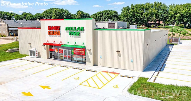
This Property Is For Sale
Property Detail
108 Culp Rd
6622-01-29-0567
BLDG 108 CULP RD DBA FAMILY DOLLAR TREE 662201063
Commercialnec
Stanly
N-B
North Carolina
B and X Area of moderate flood hazard, usually the area between the limits of the 100-year and 500-year floods.
2.09 AC
2025
Stanly County
2025
Charlotte
930101
Albemarle, NC
10,488 SF
NEARBY LISTINGS FOR SALE OR LEASE
DEMOGRAPHICS near 108 Culp Rd
1 mile
3 mile
5 mile
2025 Total Population
622
2,748
6,123
2030 Population
660
2,922
6,524
Pop Growth 2025-2030
+ 6.11%
+ 6.33%
+ 6.55%
Average Age
40
41
42
2025 Total Households
223
995
2,282
HH Growth 2025-2030
+ 6.73%
+ 6.83%
+ 6.84%
Median Household Inc
$64,375
$71,904
$79,532
Avg Household Size
2.40
2.40
2.50
2025 Avg HH Vehicles
2.00
3.00
2.00
Median Home Value
$217,460
$229,242
$256,179
Median Year Built
1971
1973
1977
Nearby Places
Map Layers
Map Styles
 Street
 Aerial
Layers
 Traffic
 Biking
Places
Listings with unknown addresses are not visible on the map
- Restaurants
- Banks
- Shops
- Fitness
- Groceries
PUBLIC TRANSPORTATION
AIRPORT
Concord-Padgett Regional
Drive
Walk
Distance
Concord-Padgett Regional
48 min
31.8 mi
Nearby Properties
Address
Land Use
TOTAL SIZE
Lot Size
Zoning
Address
Land Use
TOTAL SIZE
Lot Size
Zoning
50,039 SF
308.39 AC
MULTIPLE
Address
Land Use
TOTAL SIZE
Lot Size
Zoning
71,733 SF
18 AC
I-U
Address
Land Use
TOTAL SIZE
Lot Size
Zoning
124,910 SF
32.42 AC
M-1
Address
Land Use
TOTAL SIZE
Lot Size
Zoning
242.03 AC
R-A
Address
Land Use
TOTAL SIZE
Lot Size
Zoning
50,410 SF
7.03 AC
N-B
Address
Land Use
TOTAL SIZE
Lot Size
Zoning
55,941 SF
12.15 AC
R-20
Address
Land Use
TOTAL SIZE
Lot Size
Zoning
7,253 SF
47.76 AC
M-2
Address
Land Use
TOTAL SIZE
Lot Size
Zoning
227,504 SF
30 AC
M-1
Address
Land Use
TOTAL SIZE
Lot Size
Zoning
50,000 SF
24.25 AC
M-1
Address
Land Use
TOTAL SIZE
Lot Size
Zoning
94,113 SF
23.02 AC
M-1
Address
Land Use
TOTAL SIZE
Lot Size
Zoning
11,798 SF
100.11 AC
Address
Land Use
TOTAL SIZE
Lot Size
Zoning
583.28 AC
MULTIPLE
Address
Land Use
TOTAL SIZE
Lot Size
Zoning
10,188 SF
13.94 AC
R-A
Address
Land Use
TOTAL SIZE
Lot Size
Zoning
17,375 SF
7.01 AC
Address
Land Use
TOTAL SIZE
Lot Size
Zoning
20,000 SF
6.42 AC
Address
Land Use
TOTAL SIZE
Lot Size
Zoning
15,224 SF
2.45 AC
N-B
Address
Land Use
TOTAL SIZE
Lot Size
Zoning
106,680 SF
28.04 AC
M-1
Address
Land Use
TOTAL SIZE
Lot Size
Zoning
85.23 AC
R-A
Address
Land Use
TOTAL SIZE
Lot Size
Zoning
181,738 SF
50.77 AC
M-1
Address
Land Use
TOTAL SIZE
Lot Size
Zoning
13,018 SF
12.51 AC
MULTIPLE
Address
Land Use
TOTAL SIZE
Lot Size
Zoning
5,177 SF
3.28 AC
N-B
Address
Land Use
TOTAL SIZE
Lot Size
Zoning
96.10 AC
MULTIPLE
Address
Land Use
TOTAL SIZE
Lot Size
Zoning
73,590 SF
4.95 AC
M-1
Address
Land Use
TOTAL SIZE
Lot Size
Zoning
3,964 SF
0.98 AC
N-B
Address
Land Use
TOTAL SIZE
Lot Size
Zoning
5,672 SF
1.70 AC
R-20
Address
Land Use
TOTAL SIZE
Lot Size
Zoning
263.46 AC
MULTIPLE
Address
Land Use
TOTAL SIZE
Lot Size
Zoning
44.24 AC
Address
Land Use
TOTAL SIZE
Lot Size
Zoning
4,918 SF
1.78 AC
N-B
Address
Land Use
TOTAL SIZE
Lot Size
Zoning
30,000 SF
3.37 AC
M-1
The World's #1 Commercial Real Estate Marketplace
Connect with us
© 2026 CoStar Group
The information above has been obtained from sources believed reliable. While we do not doubt its accuracy we have not verified it and make no guarantee, warranty or representation about it. It is your responsibility to independently confirm its accuracy and completeness. Any projections, opinions, assumptions, or estimates used are for example only and do not represent the current or future performance of the property. The value of this transaction to you depends on tax and other factors which should be evaluated by your tax, financial, and legal advisors. You and your advisors should conduct a careful, independent investigation of the property to determine to your satisfaction the suitability of the property for your needs.