Property Record
10880 Wards Rd, Rustburg, VA 24588

NEARBY LISTINGS FOR SALE OR LEASE
Property Detail
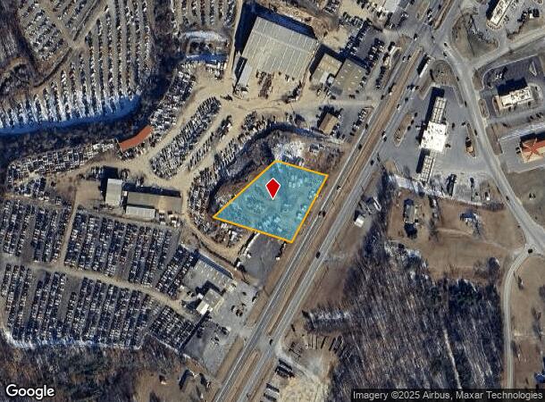
10880 Wards Rd
32-A-127
WARDS RD
Commercialacreage
Campbell
X
Virginia
51019C0400D
1.40 AC
2025
Lynchburg
2025
Other Market Areas
020101
Lynchburg, VA
1,156 SF
DEMOGRAPHICS near 10880 Wards Rd
1 Mile
3 Mile
5 Mile
2024 Total Population
1,381
7,542
18,473
2029 Population
1,366
7,537
18,423
Pop Growth 2024-2029
(1.09%)
(0.07%)
(0.27%)
Average Age
44
41
40
2024 Total Households
604
2,897
7,280
HH Growth 2024-2029
(1.16%)
(0.10%)
(0.26%)
Median Household Inc
$43,455
$49,484
$53,071
Avg Household Size
2.20
2.30
2.40
2024 Avg HH Vehicles
2.00
2.00
2.00
Median Home Value
$111,607
$166,888
$181,756
Median Year Built
1988
1990
1985
Nearby Places
Map Layers
Map Styles
 Street
 Aerial
- Restaurants
- Banks
- Shops
- Fitness
- Groceries
PUBLIC TRANSPORTATION
AIRPORT
Lynchburg Regional/Preston Glenn Field
DRIVE
WALK
Distance
Lynchburg Regional/Preston Glenn Field
12 min
5.8 mi
Freight Ports
Virginia Port Authority - Richmond
DRIVE
WALK
Distance
Virginia Port Authority - Richmond
159 min
117.9 mi
Nearby Properties
Address
Land Use
TOTAL SIZE
Lot Size
Zoning
Address
Land Use
TOTAL SIZE
Lot Size
Zoning
28,939 SF
12.20 AC
Address
Land Use
TOTAL SIZE
Lot Size
Zoning
35,811 SF
12.19 AC
BGC
Address
Land Use
TOTAL SIZE
Lot Size
Zoning
71,400 SF
46.21 AC
Address
Land Use
TOTAL SIZE
Lot Size
Zoning
20,000 SF
44.36 AC
IGC
Address
Land Use
TOTAL SIZE
Lot Size
Zoning
33,972 SF
7.04 AC
BGC
Address
Land Use
TOTAL SIZE
Lot Size
Zoning
19,360 SF
6.07 AC
IG
Address
Land Use
TOTAL SIZE
Lot Size
Zoning
2,400 SF
26.60 AC
IH
Address
Land Use
TOTAL SIZE
Lot Size
Zoning
4,604 SF
2.81 AC
BGC
Address
Land Use
TOTAL SIZE
Lot Size
Zoning
14,000 SF
8.99 AC
RSF
Address
Land Use
TOTAL SIZE
Lot Size
Zoning
18,236 SF
11.62 AC
IGC
Address
Land Use
TOTAL SIZE
Lot Size
Zoning
21,780 SF
4.17 AC
BGC
Address
Land Use
TOTAL SIZE
Lot Size
Zoning
5,153 SF
2.36 AC
BGC
Address
Land Use
TOTAL SIZE
Lot Size
Zoning
1,800 SF
28.90 AC
IG
Address
Land Use
TOTAL SIZE
Lot Size
Zoning
16,600 SF
4.52 AC
Address
Land Use
TOTAL SIZE
Lot Size
Zoning
6,850 SF
2.19 AC
BGC
Address
Land Use
TOTAL SIZE
Lot Size
Zoning
2,910 SF
180.99 AC
A1
Address
Land Use
TOTAL SIZE
Lot Size
Zoning
2,140 SF
9.70 AC
Address
Land Use
TOTAL SIZE
Lot Size
Zoning
8,753 SF
3.15 AC
BGC
Address
Land Use
TOTAL SIZE
Lot Size
Zoning
5,936 SF
90.66 AC
Address
Land Use
TOTAL SIZE
Lot Size
Zoning
7,533 SF
14.14 AC
BGC
Address
Land Use
TOTAL SIZE
Lot Size
Zoning
4,215 SF
3.16 AC
BGC
Address
Land Use
TOTAL SIZE
Lot Size
Zoning
320 SF
3.41 AC
BGC
Address
Land Use
TOTAL SIZE
Lot Size
Zoning
3,312 SF
81.79 AC
IH
Address
Land Use
TOTAL SIZE
Lot Size
Zoning
4,500 SF
2.57 AC
BGC
Address
Land Use
TOTAL SIZE
Lot Size
Zoning
1,280 SF
0.92 AC
BHC
Address
Land Use
TOTAL SIZE
Lot Size
Zoning
4,317 SF
1.45 AC
BGC
Address
Land Use
TOTAL SIZE
Lot Size
Zoning
3,020 SF
231.41 AC
A1
Address
Land Use
TOTAL SIZE
Lot Size
Zoning
11,320 SF
4.16 AC
IG
Address
Land Use
TOTAL SIZE
Lot Size
Zoning
1,400 SF
461.47 AC
Address
Land Use
TOTAL SIZE
Lot Size
Zoning
8,040 SF
5.84 AC
IG
The World's #1 Commercial Real Estate Marketplace
Connect with us
© 2025 CoStar Group
The information above has been obtained from sources believed reliable. While we do not doubt its accuracy we have not verified it and make no guarantee, warranty or representation about it. It is your responsibility to independently confirm its accuracy and completeness. Any projections, opinions, assumptions, or estimates used are for example only and do not represent the current or future performance of the property. The value of this transaction to you depends on tax and other factors which should be evaluated by your tax, financial, and legal advisors. You and your advisors should conduct a careful, independent investigation of the property to determine to your satisfaction the suitability of the property for your needs.